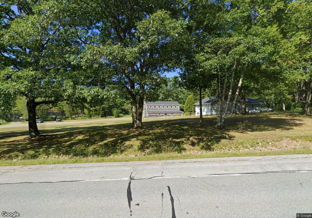
851 Atlantic Hwy Northport, ME 04849
Estimated Value: $363,577 - $658,000
2
Beds
2
Baths
1,600
Sq Ft
$321/Sq Ft
Est. Value
About This Home
This home is located at 851 Atlantic Hwy, Northport, ME 04849 and is currently estimated at $513,644, approximately $321 per square foot. 851 Atlantic Hwy is a home located in Waldo County.
Ownership History
Date
Name
Owned For
Owner Type
Purchase Details
Closed on
Nov 18, 2023
Sold by
Northeast Marine Svcs
Bought by
Camp Wobigo Llc
Current Estimated Value
Purchase Details
Closed on
Aug 27, 2021
Sold by
Gilmore Anthony L and Gilmore Myndee D
Bought by
Northwest Marine Svcs
Home Financials for this Owner
Home Financials are based on the most recent Mortgage that was taken out on this home.
Original Mortgage
$126,985
Interest Rate
2.8%
Mortgage Type
Purchase Money Mortgage
Purchase Details
Closed on
Jan 7, 2019
Sold by
Gelsinger John B and Gelsinger Ruth M
Bought by
Gilmore Anthony L and Gilmore Myndee D
Home Financials for this Owner
Home Financials are based on the most recent Mortgage that was taken out on this home.
Original Mortgage
$176,055
Interest Rate
4.8%
Mortgage Type
New Conventional
Create a Home Valuation Report for This Property
The Home Valuation Report is an in-depth analysis detailing your home's value as well as a comparison with similar homes in the area
Home Values in the Area
Average Home Value in this Area
Purchase History
| Date | Buyer | Sale Price | Title Company |
|---|---|---|---|
| Camp Wobigo Llc | -- | None Available | |
| Northwest Marine Svcs | -- | None Available | |
| Gilmore Anthony L | -- | -- |
Source: Public Records
Mortgage History
| Date | Status | Borrower | Loan Amount |
|---|---|---|---|
| Previous Owner | Northwest Marine Svcs | $126,985 | |
| Previous Owner | Gilmore Anthony L | $176,055 |
Source: Public Records
Tax History Compared to Growth
Tax History
| Year | Tax Paid | Tax Assessment Tax Assessment Total Assessment is a certain percentage of the fair market value that is determined by local assessors to be the total taxable value of land and additions on the property. | Land | Improvement |
|---|---|---|---|---|
| 2024 | $2,726 | $154,000 | $47,500 | $106,500 |
| 2023 | $2,503 | $154,000 | $47,500 | $106,500 |
| 2022 | $2,449 | $154,000 | $47,500 | $106,500 |
| 2021 | $2,387 | $154,000 | $47,500 | $106,500 |
| 2020 | $2,234 | $146,500 | $47,500 | $99,000 |
| 2019 | $2,329 | $146,500 | $47,500 | $99,000 |
| 2018 | $1,757 | $121,000 | $47,500 | $73,500 |
| 2017 | $1,924 | $133,300 | $47,500 | $85,800 |
| 2016 | $1,886 | $133,300 | $47,500 | $85,800 |
| 2015 | $1,840 | $133,300 | $47,500 | $85,800 |
| 2014 | $2,173 | $133,300 | $47,500 | $85,800 |
| 2013 | $1,886 | $133,300 | $47,500 | $85,800 |
Source: Public Records
Map
Nearby Homes
- 381 Atlantic Hwy
- 321 Atlantic Hwy
- 78 Bayview Dr
- 8 Beech Hill Rd
- Lot # 3 Ocean Ridge Rd
- 1 Oak Dr
- 1025 Douglas Dr
- R-7 17-C Eagle Dr
- 225 Priest Rd
- 223 Priest Rd
- L46 (Part) Beech Hill Rd
- R-3 L2-A Beech Hill Rd
- R-3 L5 Beech Hill Rd
- R-3 L5&2A Beech Hill Rd
- 173 Bog Rd
- Lot 26 Mariners Watch Rd
- 48 George St
- 14 Auditorium Park
- 0 Smith Ridge Rd
- 49 Bayside Rd
- 845 Atlantic Hwy
- 836 Atlantic Hwy
- 838 Atlantic Hwy
- 868 Atlantic Hwy
- 801 Atlantic Hwy
- 890 Atlantic Hwy
- 76 Nealey Rd
- 1 Priest Rd
- 0 Priest Rd
- 15 Nealey Rd
- 795 Atlantic Hwy
- 10 Priest Rd
- 11 Priest Rd
- 13 Priest Rd
- 1008 Atlantic Hwy
- 6 Nealey Rd
- 786 Atlantic Hwy
- 830 Atlantic Hwy
- 27 Nealey Rd
- 775 Atlantic Hwy