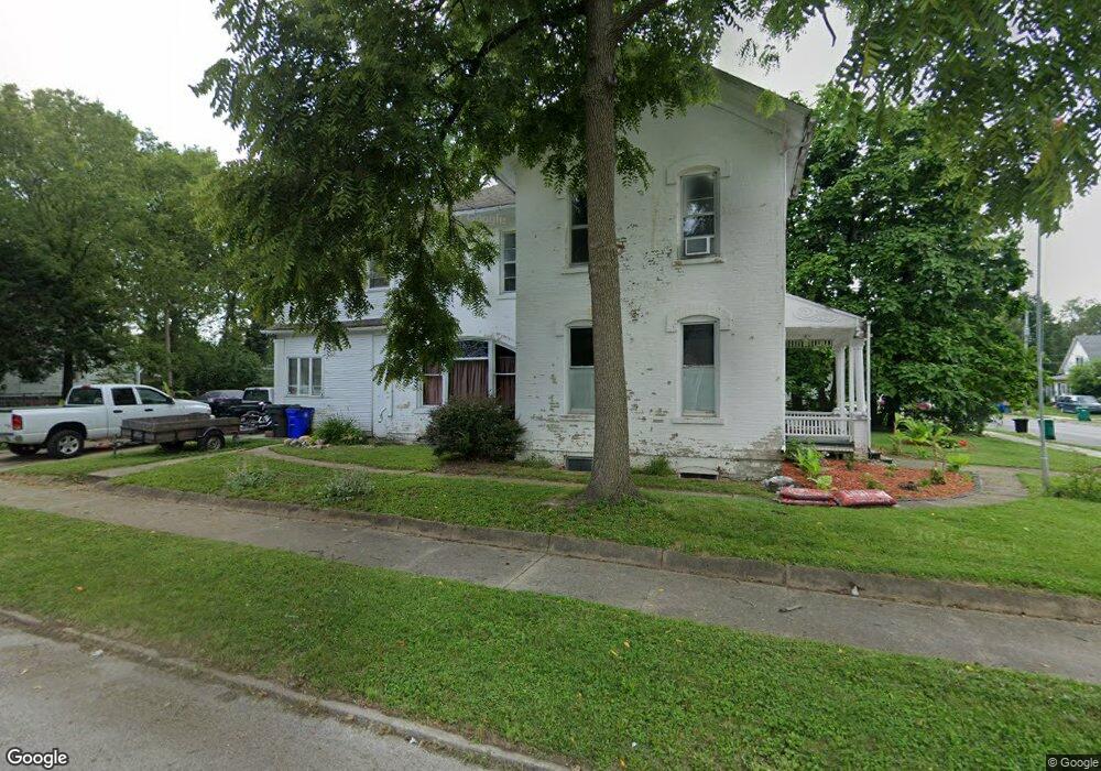
851 E Cantrell St Decatur, IL 62521
Mueller Park NeighborhoodEstimated Value: $38,000 - $90,000
Studio
--
Bath
--
Sq Ft
12,632
Sq Ft
About This Home
This home is located at 851 E Cantrell St, Decatur, IL 62521 and is currently estimated at $54,302. 851 E Cantrell St is a home with nearby schools including South Shores Elementary School, Stephen Decatur Middle School, and St. Patrick School.
Ownership History
Date
Name
Owned For
Owner Type
Purchase Details
Closed on
May 18, 2020
Sold by
Sorensen William A and Sorensen Jennifer M
Bought by
Yancey Kurt Terry and Hollar Dawn M
Current Estimated Value
Home Financials for this Owner
Home Financials are based on the most recent Mortgage that was taken out on this home.
Original Mortgage
$28,500
Outstanding Balance
$25,255
Interest Rate
3.3%
Mortgage Type
New Conventional
Estimated Equity
$29,047
Purchase Details
Closed on
May 2, 2014
Sold by
Decatur Care Rescue Mission
Bought by
Sorensen William A and Sorensen Jennifer M
Create a Home Valuation Report for This Property
The Home Valuation Report is an in-depth analysis detailing your home's value as well as a comparison with similar homes in the area
Home Values in the Area
Average Home Value in this Area
Purchase History
| Date | Buyer | Sale Price | Title Company |
|---|---|---|---|
| Yancey Kurt Terry | $30,000 | None Available | |
| Sorensen William A | -- | Decatur Title Co Llc |
Source: Public Records
Mortgage History
| Date | Status | Borrower | Loan Amount |
|---|---|---|---|
| Open | Yancey Kurt Terry | $28,500 |
Source: Public Records
Tax History
| Year | Tax Paid | Tax Assessment Tax Assessment Total Assessment is a certain percentage of the fair market value that is determined by local assessors to be the total taxable value of land and additions on the property. | Land | Improvement |
|---|---|---|---|---|
| 2024 | $745 | $12,910 | $1,267 | $11,643 |
| 2023 | $766 | $12,453 | $1,222 | $11,231 |
| 2022 | $787 | $11,523 | $1,130 | $10,393 |
| 2021 | $792 | $10,762 | $1,056 | $9,706 |
| 2020 | $819 | $10,262 | $1,007 | $9,255 |
| 2019 | $819 | $10,262 | $1,007 | $9,255 |
| 2018 | $809 | $12,752 | $437 | $12,315 |
| 2017 | $806 | $13,093 | $449 | $12,644 |
| 2016 | $813 | $13,227 | $454 | $12,773 |
| 2015 | $787 | $12,993 | $446 | $12,547 |
| 2014 | -- | $0 | $0 | $0 |
| 2013 | -- | $0 | $0 | $0 |
Source: Public Records
Map
Nearby Homes
- 936 E Moore St
- 90 Webster Ct
- 1225 S Silas St
- 612 S Jackson St
- 1283 S Illinois St
- 0 S Water St
- 1403 Parkwood Place
- 910 S Main St
- 1422 Sedgwick St
- 128 N Hilton St
- 228 Southmoreland Place
- 632 S 17th St
- 1221 E Main St
- 1484 E Clay St
- 246 Southmoreland Place
- 1872 Shady Crest St
- 1722 E Johns Ave
- 314 W Decatur St
- 580 Powers Ln
- 1901 Indiana Ct
- 831 E Cantrell St
- 827 S Maffit St
- 819 E Cantrell St
- 905 E Cantrell St
- 837 S Maffit St
- 915 E Cantrell St
- 834 S Maffit St
- 904 E Cantrell St
- 849 S Maffit St
- 916 E Cantrell St
- 777 S Maffit St
- 803 E Cantrell St
- 926 E Cantrell St
- 931 E Cantrell St
- 859 S Maffit St
- 826 E Cantrell St
- 795 E Cantrell St
- 767 S Maffit St
- 822 E Cantrell St
- 935 E Cantrell St
Your Personal Tour Guide
Ask me questions while you tour the home.