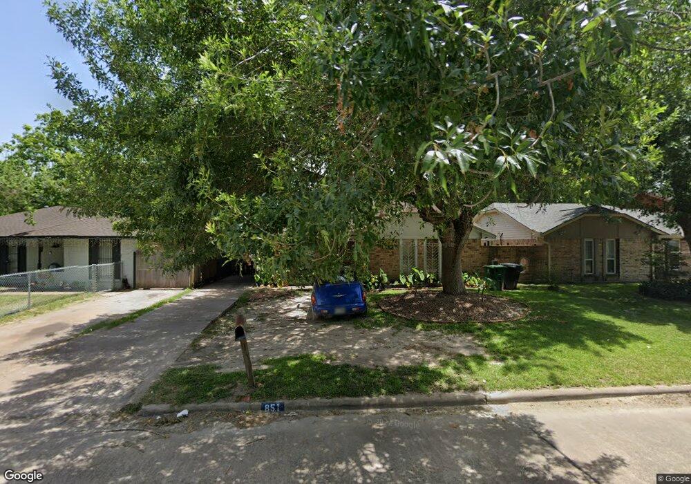
851 Grenshaw St Houston, TX 77088
Acres Homes NeighborhoodEstimated Value: $157,491 - $191,000
4
Beds
2
Baths
1,062
Sq Ft
$166/Sq Ft
Est. Value
About This Home
This home is located at 851 Grenshaw St, Houston, TX 77088 and is currently estimated at $175,873, approximately $165 per square foot. 851 Grenshaw St is a home located in Harris County with nearby schools including Osborne Elementary School, Williams Middle, and Booker T Washington Sr High.
Ownership History
Date
Name
Owned For
Owner Type
Purchase Details
Closed on
May 2, 2002
Sold by
Firstexas Residential Corp
Bought by
Lee Teresa and Henry Antoine
Current Estimated Value
Home Financials for this Owner
Home Financials are based on the most recent Mortgage that was taken out on this home.
Original Mortgage
$67,962
Outstanding Balance
$29,061
Interest Rate
7.11%
Mortgage Type
FHA
Estimated Equity
$146,812
Purchase Details
Closed on
Dec 12, 2001
Sold by
Cooks Laura Louise and Hutchinson Laura
Bought by
Firstexas Residential Corp
Create a Home Valuation Report for This Property
The Home Valuation Report is an in-depth analysis detailing your home's value as well as a comparison with similar homes in the area
Home Values in the Area
Average Home Value in this Area
Purchase History
| Date | Buyer | Sale Price | Title Company |
|---|---|---|---|
| Lee Teresa | -- | Commonwealth Land Title Co | |
| Firstexas Residential Corp | -- | Startex Title Company |
Source: Public Records
Mortgage History
| Date | Status | Borrower | Loan Amount |
|---|---|---|---|
| Open | Lee Teresa | $67,962 |
Source: Public Records
Tax History Compared to Growth
Tax History
| Year | Tax Paid | Tax Assessment Tax Assessment Total Assessment is a certain percentage of the fair market value that is determined by local assessors to be the total taxable value of land and additions on the property. | Land | Improvement |
|---|---|---|---|---|
| 2025 | $1,079 | $152,990 | $58,344 | $94,646 |
| 2024 | $1,079 | $142,874 | $58,344 | $84,530 |
| 2023 | $1,079 | $117,690 | $58,344 | $59,346 |
| 2022 | $1,999 | $115,704 | $45,084 | $70,620 |
| 2021 | $1,923 | $95,819 | $26,520 | $69,299 |
| 2020 | $1,817 | $86,724 | $23,868 | $62,856 |
| 2019 | $1,726 | $81,266 | $23,868 | $57,398 |
| 2018 | $960 | $62,007 | $11,934 | $50,073 |
| 2017 | $1,448 | $62,007 | $11,934 | $50,073 |
| 2016 | $1,316 | $62,007 | $11,934 | $50,073 |
| 2015 | $709 | $58,771 | $11,934 | $46,837 |
| 2014 | $709 | $43,025 | $11,934 | $31,091 |
Source: Public Records
Map
Nearby Homes
- 8602 De Priest St
- 0 Marcolin St
- 905 Ferguson Way
- 0 Grenshaw
- 907 Ferguson Way
- 8314 De Priest St
- 854 Junell St
- 1314 Tarberry Rd
- 0 Marjorie
- 769 Marjorie St
- 958 Conklin St
- 8324 Williamsdell St
- 8322 Williamsdell St
- 8320 Williamsdell St
- 8310 Williamsdell St
- 934 South Ln
- 936 - A&B South Ln
- 954A Junell St
- 954 W Bertrand St
- 830 Ringold St
- 847 Grenshaw St
- 855 Grenshaw St
- 843 Grenshaw St
- 859 Grenshaw St
- 862 Marcolin St
- 866 Marcolin St
- 858 Marcolin St
- 870 Marcolin St
- 854 Marcolin St
- 839 Grenshaw St
- 863 Grenshaw St
- 850 Grenshaw St
- 854 Grenshaw St
- 846 Grenshaw St
- 874 Marcolin St
- 850 Marcolin St
- 858 Grenshaw St
- 842 Grenshaw St
- 835 Grenshaw St
- 867 Grenshaw St