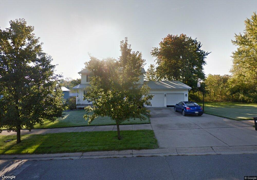
851 Quail Dr Crown Point, IN 46307
Estimated Value: $371,230 - $416,000
3
Beds
3
Baths
2,066
Sq Ft
$189/Sq Ft
Est. Value
About This Home
This home is located at 851 Quail Dr, Crown Point, IN 46307 and is currently estimated at $390,308, approximately $188 per square foot. 851 Quail Dr is a home located in Lake County with nearby schools including Timothy Ball Elementary School, Robert Taft Middle School, and Crown Point High School.
Ownership History
Date
Name
Owned For
Owner Type
Purchase Details
Closed on
Oct 19, 2020
Sold by
Fiske Phillip K and Fiske Mary E
Bought by
Fiske Phillip K and Fiske Mary E
Current Estimated Value
Purchase Details
Closed on
Jun 23, 2006
Sold by
Aldrich Frank G and Aldrich Sharon
Bought by
Fiske Phillip K and Fiske Mary E
Home Financials for this Owner
Home Financials are based on the most recent Mortgage that was taken out on this home.
Original Mortgage
$120,000
Outstanding Balance
$71,141
Interest Rate
6.72%
Mortgage Type
Purchase Money Mortgage
Estimated Equity
$319,167
Create a Home Valuation Report for This Property
The Home Valuation Report is an in-depth analysis detailing your home's value as well as a comparison with similar homes in the area
Home Values in the Area
Average Home Value in this Area
Purchase History
| Date | Buyer | Sale Price | Title Company |
|---|---|---|---|
| Fiske Phillip K | -- | None Available | |
| Fiske Phillip K | -- | The Talon Group |
Source: Public Records
Mortgage History
| Date | Status | Borrower | Loan Amount |
|---|---|---|---|
| Open | Fiske Phillip K | $120,000 |
Source: Public Records
Tax History Compared to Growth
Tax History
| Year | Tax Paid | Tax Assessment Tax Assessment Total Assessment is a certain percentage of the fair market value that is determined by local assessors to be the total taxable value of land and additions on the property. | Land | Improvement |
|---|---|---|---|---|
| 2024 | $7,819 | $307,000 | $60,200 | $246,800 |
| 2023 | $3,138 | $284,500 | $60,200 | $224,300 |
| 2022 | $3,000 | $269,400 | $60,200 | $209,200 |
| 2021 | $2,895 | $260,100 | $59,400 | $200,700 |
| 2020 | $2,829 | $254,300 | $59,400 | $194,900 |
| 2019 | $2,731 | $241,700 | $59,400 | $182,300 |
| 2018 | $3,164 | $233,300 | $59,400 | $173,900 |
| 2017 | $3,043 | $228,400 | $59,400 | $169,000 |
| 2016 | $3,054 | $225,900 | $59,400 | $166,500 |
| 2014 | $2,871 | $227,400 | $59,400 | $168,000 |
| 2013 | $2,891 | $226,500 | $59,300 | $167,200 |
Source: Public Records
Map
Nearby Homes
- 700 Meadow Ln
- 767 Kenmare Pkwy
- 771 Kenmare Pkwy
- 7830 W 106th Ln
- 7770 W 106th Ln
- 621 Pratt St
- 3725 W 105th Ave
- 114 S Chase Dr
- 301 Hoffman St
- 10813 Lane St
- 306 Holton Ridge
- 3604 W 104th Place
- 312 Summit Park Ct S
- 511 N West St
- 221 N West St
- 1 Walnut Pkwy
- 0 W Joliet St
- 808 N West St
- 629 W South St
- 222 Maple St
- 841 Quail Dr
- 850 Quail Dr
- 860 Quail Dr
- 821 Quail Dr
- 830 Quail Dr
- 10737 Hendricks Place
- 831 Quail Dr
- 671 Meadow Ln
- 10755 Hendricks Place
- 10725 Hendricks Place
- 680 Meadow Ln
- 811 Quail Dr
- 671 Clover Ln
- 10801 Hendricks Place
- 681 Meadow Ln
- 681 Clover Ln
- 10713 Hendricks Place
- 690 Meadow Ln
- 10815 Hendricks Place
- 691 Meadow Ln