851 SW Ashdown Cir West Linn, OR 97068
Stafford NeighborhoodEstimated Value: $1,605,000 - $1,730,000
3
Beds
3
Baths
3,292
Sq Ft
$506/Sq Ft
Est. Value
About This Home
This home is located at 851 SW Ashdown Cir, West Linn, OR 97068 and is currently estimated at $1,664,437, approximately $505 per square foot. 851 SW Ashdown Cir is a home located in Clackamas County with nearby schools including Stafford Primary School, West Linn High School, and Three Rivers Charter School.
Ownership History
Date
Name
Owned For
Owner Type
Purchase Details
Closed on
Oct 18, 2012
Sold by
Andre Marjorie C
Bought by
Forster Stephen A and Forster Analese J
Current Estimated Value
Home Financials for this Owner
Home Financials are based on the most recent Mortgage that was taken out on this home.
Original Mortgage
$417,000
Outstanding Balance
$287,866
Interest Rate
3.52%
Mortgage Type
New Conventional
Estimated Equity
$1,376,571
Create a Home Valuation Report for This Property
The Home Valuation Report is an in-depth analysis detailing your home's value as well as a comparison with similar homes in the area
Home Values in the Area
Average Home Value in this Area
Purchase History
| Date | Buyer | Sale Price | Title Company |
|---|---|---|---|
| Forster Stephen A | $565,000 | Fidelity Natl Title Of Or |
Source: Public Records
Mortgage History
| Date | Status | Borrower | Loan Amount |
|---|---|---|---|
| Open | Forster Stephen A | $417,000 |
Source: Public Records
Tax History Compared to Growth
Tax History
| Year | Tax Paid | Tax Assessment Tax Assessment Total Assessment is a certain percentage of the fair market value that is determined by local assessors to be the total taxable value of land and additions on the property. | Land | Improvement |
|---|---|---|---|---|
| 2025 | $16,938 | $985,610 | -- | -- |
| 2024 | $16,302 | $956,903 | -- | -- |
| 2023 | $16,302 | $929,033 | $0 | $0 |
| 2022 | $15,181 | $901,974 | $0 | $0 |
| 2021 | $13,628 | $875,703 | $0 | $0 |
| 2020 | $13,740 | $850,198 | $0 | $0 |
| 2019 | $13,059 | $825,435 | $0 | $0 |
| 2018 | $12,453 | $801,393 | $0 | $0 |
| 2017 | $10,937 | $723,379 | $0 | $0 |
| 2016 | $10,003 | $662,426 | $0 | $0 |
| 2015 | $9,544 | $643,132 | $0 | $0 |
| 2014 | $9,010 | $624,400 | $0 | $0 |
Source: Public Records
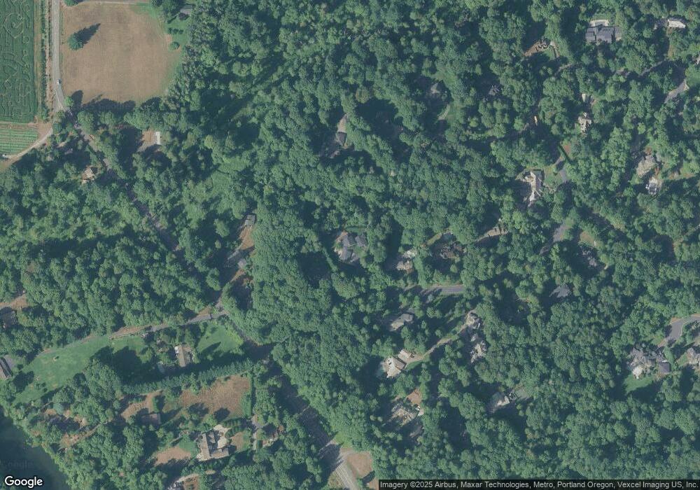
Map
Nearby Homes
- 541 SW Ashdown Cir
- 21489 S Sweetbriar Rd
- 0 S Sweetbriar Rd Unit 23219494
- 1550 SW Shadow Wood Dr
- 1550 Shadow Wood Dr
- 451 S Wilda Rd
- 1332 S Woodbine Rd
- 655 Rosemont Rd
- 800 Rosemont Rd
- 2850 SW Turner Rd
- 2584 Wisteria Ct
- 3140 SW Childs Rd
- 2420 Margery St
- 1101 Ryan Ct
- 19874 Bennington Ct
- 2250 River Heights Cir
- 812 Wendy Ct
- 19640 Kapteyns St
- 753 Nicole Dr
- 2086 Sunray Cir
- 921 SW Ashdown Cir
- 726 SW Ashdown Cir
- 701 SW Ashdown Cir
- 21510 SW Johnson Rd
- 763 Victoria Place
- 743 Victoria Place
- 0 SW Johnson Rd
- 601 SW Ashdown Cir
- 21462 SW Saint James Place
- 625 Victoria Place
- 602 SW Ashdown Cir
- 21545 SW Saint James Place
- 563 SW Ashdown Cir
- 21545 Johnson Rd
- 21701 SW Johnson Rd
- 21701 SW Johnson Rd
- 21330 Johnson Rd
- 653 Victoria Place
- 21534 SW Saint James Place