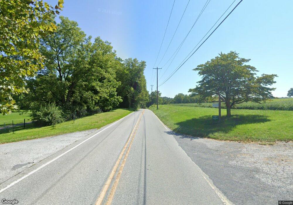
851 West Rd Kennett Square, PA 19348
Estimated Value: $782,381 - $1,036,000
5
Beds
5
Baths
4,656
Sq Ft
$195/Sq Ft
Est. Value
About This Home
This home is located at 851 West Rd, Kennett Square, PA 19348 and is currently estimated at $907,345, approximately $194 per square foot. 851 West Rd is a home with nearby schools including Unionville Elementary School, Charles F. Patton Middle School, and Unionville High School.
Ownership History
Date
Name
Owned For
Owner Type
Purchase Details
Closed on
Jul 30, 1999
Sold by
Nash Peter and Nash Mary B
Bought by
Crompton Kathleen Mck
Current Estimated Value
Home Financials for this Owner
Home Financials are based on the most recent Mortgage that was taken out on this home.
Original Mortgage
$350,000
Outstanding Balance
$99,714
Interest Rate
7.54%
Estimated Equity
$807,631
Create a Home Valuation Report for This Property
The Home Valuation Report is an in-depth analysis detailing your home's value as well as a comparison with similar homes in the area
Home Values in the Area
Average Home Value in this Area
Purchase History
| Date | Buyer | Sale Price | Title Company |
|---|---|---|---|
| Crompton Kathleen Mck | $305,000 | -- |
Source: Public Records
Mortgage History
| Date | Status | Borrower | Loan Amount |
|---|---|---|---|
| Open | Crompton Kathleen Mck | $350,000 |
Source: Public Records
Tax History Compared to Growth
Tax History
| Year | Tax Paid | Tax Assessment Tax Assessment Total Assessment is a certain percentage of the fair market value that is determined by local assessors to be the total taxable value of land and additions on the property. | Land | Improvement |
|---|---|---|---|---|
| 2025 | $11,640 | $302,330 | $75,580 | $226,750 |
| 2024 | $11,640 | $302,330 | $75,580 | $226,750 |
| 2023 | $11,271 | $302,330 | $75,580 | $226,750 |
| 2022 | $11,038 | $302,330 | $75,580 | $226,750 |
| 2021 | $10,769 | $302,330 | $75,580 | $226,750 |
| 2020 | $10,741 | $302,330 | $75,580 | $226,750 |
| 2019 | $10,454 | $302,330 | $75,580 | $226,750 |
| 2018 | $10,424 | $302,330 | $75,580 | $226,750 |
| 2017 | $10,206 | $302,330 | $75,580 | $226,750 |
| 2016 | $1,199 | $302,330 | $75,580 | $226,750 |
| 2015 | $1,199 | $302,330 | $75,580 | $226,750 |
| 2014 | $1,199 | $302,330 | $75,580 | $226,750 |
Source: Public Records
Map
Nearby Homes
- 380 Upland Rd
- 645 Coatesville Rd
- 1321 N Chatham Rd
- 2295 Hilltop View Rd
- 180 Springdell Rd
- 1025 N Chatham Rd
- 534 Coatesville Rd
- 804 N Mill Rd
- 150 Springdell Rd
- 2299 Hilltop View Rd
- 2655 Gap Newport Pike
- 1543 Embreeville Rd
- 113 Ronway Dr
- 0 Wilson
- 907 Mitchell Farm Ln
- 1019 Doe Run Rd
- 120 Funk Rd
- 798 Merrimac Ln
- 356 Fairview Rd
- 191 W Street Rd
- 776 West Rd
- 565 Upland Rd
- 565 Upland Rd
- 612 Lambourne Rd
- 607 Lambourne Rd
- 605 Lambourne Rd
- 0 Newark Rd Unit PACT2024802
- 580 Upland Rd
- 1825 Newark Rd
- 00000 Newark Rd Unit LT.4
- 000 Newark Rd Unit LT.2
- 0 Newark Rd Unit 1007310418
- 0 Newark Rd Unit 1006956340
- 0 Newark Rd Unit 1006721052
- 0 Newark Rd Unit 6270562
- 0 Newark Rd Unit 5634171
- 0 Newark Rd Unit PACT148552
- 552 Upland Rd
- 550 Upland Rd
- 420 Beech Ln
