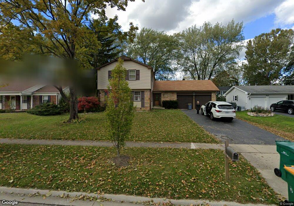
851 Westbourne Ln Unit 6 Buffalo Grove, IL 60089
Estimated Value: $567,000 - $617,063
4
Beds
3
Baths
2,479
Sq Ft
$242/Sq Ft
Est. Value
About This Home
This home is located at 851 Westbourne Ln Unit 6, Buffalo Grove, IL 60089 and is currently estimated at $599,766, approximately $241 per square foot. 851 Westbourne Ln Unit 6 is a home located in Lake County with nearby schools including Ivy Hall Elementary School, Twin Groves Middle School, and Adlai E Stevenson High School.
Ownership History
Date
Name
Owned For
Owner Type
Purchase Details
Closed on
May 31, 2011
Sold by
Messel Albert K and Messel Marilyn M
Bought by
Salasche David M and Salasche Rebecca J
Current Estimated Value
Home Financials for this Owner
Home Financials are based on the most recent Mortgage that was taken out on this home.
Original Mortgage
$270,000
Outstanding Balance
$187,697
Interest Rate
4.81%
Mortgage Type
New Conventional
Estimated Equity
$412,069
Create a Home Valuation Report for This Property
The Home Valuation Report is an in-depth analysis detailing your home's value as well as a comparison with similar homes in the area
Home Values in the Area
Average Home Value in this Area
Purchase History
| Date | Buyer | Sale Price | Title Company |
|---|---|---|---|
| Salasche David M | $300,000 | First American Title Ins Co |
Source: Public Records
Mortgage History
| Date | Status | Borrower | Loan Amount |
|---|---|---|---|
| Open | Salasche David M | $270,000 |
Source: Public Records
Tax History Compared to Growth
Tax History
| Year | Tax Paid | Tax Assessment Tax Assessment Total Assessment is a certain percentage of the fair market value that is determined by local assessors to be the total taxable value of land and additions on the property. | Land | Improvement |
|---|---|---|---|---|
| 2024 | $15,963 | $173,402 | $35,943 | $137,459 |
| 2023 | $14,966 | $163,618 | $33,915 | $129,703 |
| 2022 | $14,966 | $149,525 | $30,994 | $118,531 |
| 2021 | $14,399 | $147,913 | $30,660 | $117,253 |
| 2020 | $14,060 | $148,418 | $30,765 | $117,653 |
| 2019 | $13,866 | $147,871 | $30,652 | $117,219 |
| 2018 | $12,216 | $134,960 | $30,293 | $104,667 |
| 2017 | $11,985 | $131,810 | $29,586 | $102,224 |
| 2016 | $11,673 | $126,219 | $28,331 | $97,888 |
| 2015 | $11,365 | $118,039 | $26,495 | $91,544 |
| 2014 | $10,771 | $110,661 | $28,456 | $82,205 |
| 2012 | $10,689 | $110,883 | $28,513 | $82,370 |
Source: Public Records
Map
Nearby Homes
- 610 Checker Dr
- 800 Clohesey Dr
- 390 Springside Ln
- 711 Woodhollow Ln
- 931 Shady Grove Ln
- 950 Belmar Ln
- 746 Old Checker Rd Unit E5
- 412 Chateau Dr
- 1141 Devonshire Rd
- 12 Cloverdale Ct
- 1112 Auburn Ln
- 887 Saybrook Ln Unit 2
- 1032 Courtland Dr Unit 9
- 1265 Devonshire Rd
- 603 Cherbourg Ct N
- 1113 Lockwood Dr
- 1325 Fairfax Ln
- 938 Hidden Lake Dr
- 1118 Larraway Dr
- 1324 Fairfax Ln Unit B32
- 861 Westbourne Ln
- 841 Westbourne Ln
- 880 Hollystone Ln
- 870 Hollystone Ln
- 890 Hollystone Ln
- 871 Westbourne Ln
- 831 Westbourne Ln
- 850 Westbourne Ln
- 860 Hollystone Ln
- 860 Westbourne Ln
- 840 Westbourne Ln
- 900 Hollystone Ln
- 881 Westbourne Ln
- 830 Westbourne Ln
- 870 Westbourne Ln
- 821 Westbourne Ln
- 850 Hollystone Ln
- 910 Hollystone Ln
- 831 Dorncliff Ln
- 881 Hollystone Ln