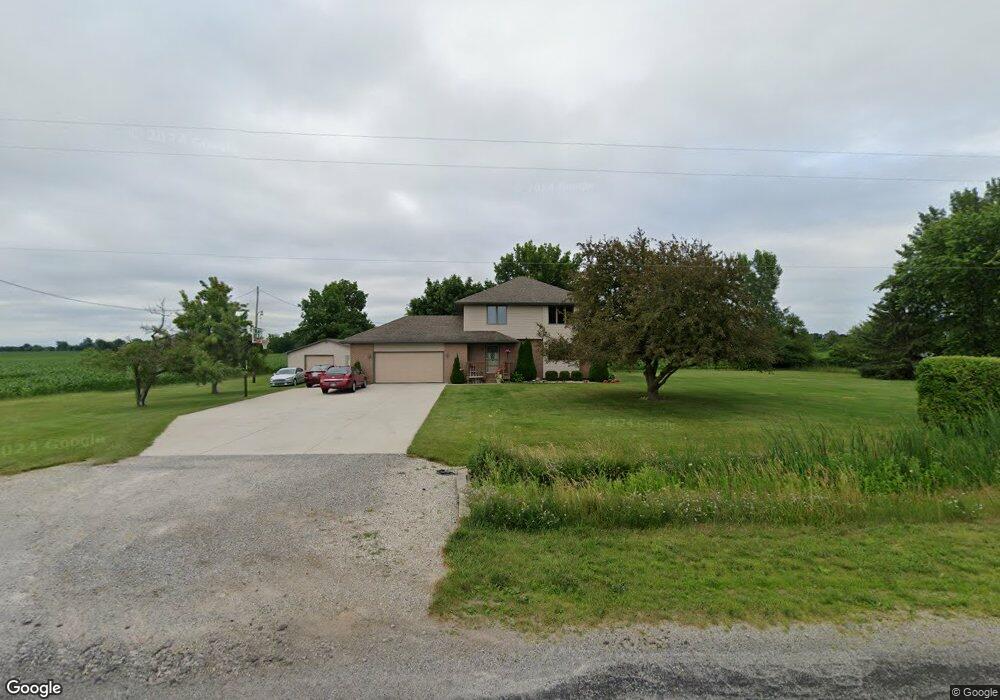
8511 Pierce Rd Freeland, MI 48623
Freeland NeighborhoodEstimated Value: $300,000 - $328,780
3
Beds
3
Baths
2,498
Sq Ft
$125/Sq Ft
Est. Value
About This Home
This home is located at 8511 Pierce Rd, Freeland, MI 48623 and is currently estimated at $311,695, approximately $124 per square foot. 8511 Pierce Rd is a home located in Saginaw County with nearby schools including Freeland Learning Center, Freeland Elementary School, and Freeland Middle/High School.
Ownership History
Date
Name
Owned For
Owner Type
Purchase Details
Closed on
Aug 14, 2024
Sold by
Booms Frederick J and Booms Lynn R
Bought by
Booms Frederick J and Booms Lynn R
Current Estimated Value
Purchase Details
Closed on
Dec 14, 2018
Sold by
Booms Frederick J and Booms Lynn R
Bought by
Booms Frederick J and Booms Lynn R
Purchase Details
Closed on
Apr 28, 2004
Home Financials for this Owner
Home Financials are based on the most recent Mortgage that was taken out on this home.
Original Mortgage
$105,000
Interest Rate
6.06%
Mortgage Type
Purchase Money Mortgage
Create a Home Valuation Report for This Property
The Home Valuation Report is an in-depth analysis detailing your home's value as well as a comparison with similar homes in the area
Home Values in the Area
Average Home Value in this Area
Purchase History
| Date | Buyer | Sale Price | Title Company |
|---|---|---|---|
| Booms Frederick J | -- | None Listed On Document | |
| Booms Frederick J | -- | None Listed On Document | |
| -- | $132,000 | -- | |
| Booms Frederick J | $132,000 | Ltic |
Source: Public Records
Mortgage History
| Date | Status | Borrower | Loan Amount |
|---|---|---|---|
| Previous Owner | Booms Frederick J | $105,000 | |
| Closed | Booms Frederick J | $14,200 |
Source: Public Records
Tax History
| Year | Tax Paid | Tax Assessment Tax Assessment Total Assessment is a certain percentage of the fair market value that is determined by local assessors to be the total taxable value of land and additions on the property. | Land | Improvement |
|---|---|---|---|---|
| 2025 | $1,062 | $151,200 | $0 | $0 |
| 2024 | $1,030 | $134,000 | $0 | $0 |
| 2023 | $981 | $117,400 | $0 | $0 |
| 2022 | $2,960 | $105,400 | $0 | $0 |
| 2021 | $2,703 | $96,800 | $0 | $0 |
| 2020 | $2,619 | $88,600 | $0 | $0 |
| 2019 | $2,538 | $84,600 | $0 | $0 |
| 2018 | $855 | $88,200 | $0 | $0 |
| 2017 | $2,268 | $88,500 | $0 | $0 |
| 2016 | $2,248 | $86,200 | $0 | $0 |
| 2014 | -- | $81,600 | $0 | $72,100 |
| 2013 | -- | $80,400 | $0 | $0 |
Source: Public Records
Map
Nearby Homes
- 8550 Gilmour Ln
- 5874 Diamond Meadows Ln
- 5840 Cottontop Crescent
- 5760 Stone Briar Ln S
- TBD Garfield Rd
- 5663 Stone Briar Ln S
- 7474 Kochville Rd
- 6790 Hospital Rd
- 923 Wheelock St
- 5120 Midland Rd
- 6728 N River Rd
- 286 Church St
- 9924 Garner Ln
- 0 Hornbeam Ln
- 8441 Cottonwood Dr
- 8643 Ashland Place
- 23 E Grove Ct
- 10360 Laurel Woods Place
- 11050 Wilkinson Rd
- 8674 Oakhill Dr
- 8521 Pierce Rd
- 8531 Pierce Rd
- 8375 Pierce Rd
- 8501 Gilmour Ln
- 8580 Gilmour Ln
- 8770 Pierce Rd
- 8600 Gilmour Ln
- 8620 Gilmour Ln
- 8664 Gilmour Ln
- 0 Gilmour Ln Pierce Rd Unit 50101184
- 8525 Gilmour Ln
- 8543 Gilmour Ln
- 8670 Gilmour Ln
- 8500 Gilmour Ln
- 8500 Gilmour Ln
- 8500 Gilmour Ln
- 8500 Gilmour Ln
- 8559 Gilmour Ln
- 8601 Gilmour Ln
- 8676 Gilmour Ln
Your Personal Tour Guide
Ask me questions while you tour the home.