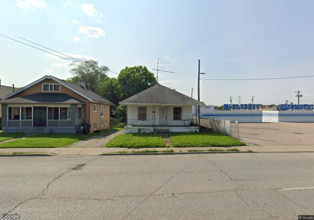
8511 Reading Rd Cincinnati, OH 45215
Roselawn NeighborhoodEstimated Value: $99,000 - $170,320
3
Beds
1
Bath
1,040
Sq Ft
$135/Sq Ft
Est. Value
About This Home
This home is located at 8511 Reading Rd, Cincinnati, OH 45215 and is currently estimated at $140,330, approximately $134 per square foot. 8511 Reading Rd is a home located in Hamilton County with nearby schools including Reading Community High School and Saints Peter and Paul Academy.
Ownership History
Date
Name
Owned For
Owner Type
Purchase Details
Closed on
Jul 9, 2025
Sold by
Evenson Troy
Bought by
Sirish Harvinder
Current Estimated Value
Purchase Details
Closed on
Jun 7, 2023
Sold by
Taylor Romie
Bought by
Everlon Troy
Purchase Details
Closed on
Aug 13, 2021
Sold by
Zimmermas Laurence I
Bought by
Taylor Ronnie
Purchase Details
Closed on
Dec 23, 2009
Sold by
Dosker Marshall K
Bought by
Zimmerman Laurence I
Purchase Details
Closed on
Jul 10, 2008
Sold by
Zimmerman Helen S
Bought by
Dosker Marshall K and Helen S Zimmerman Trust
Create a Home Valuation Report for This Property
The Home Valuation Report is an in-depth analysis detailing your home's value as well as a comparison with similar homes in the area
Home Values in the Area
Average Home Value in this Area
Purchase History
| Date | Buyer | Sale Price | Title Company |
|---|---|---|---|
| Sirish Harvinder | $95,000 | None Listed On Document | |
| Everlon Troy | $62,510 | None Listed On Document | |
| Taylor Ronnie | $8,000 | None Listed On Document | |
| Zimmerman Laurence I | -- | Attorney | |
| Dosker Marshall K | -- | Attorney |
Source: Public Records
Tax History
| Year | Tax Paid | Tax Assessment Tax Assessment Total Assessment is a certain percentage of the fair market value that is determined by local assessors to be the total taxable value of land and additions on the property. | Land | Improvement |
|---|---|---|---|---|
| 2025 | $1,822 | $33,562 | $12,450 | $21,112 |
| 2024 | $1,822 | $33,562 | $12,450 | $21,112 |
| 2023 | $1,819 | $33,562 | $12,450 | $21,112 |
| 2022 | $1,537 | $22,019 | $12,842 | $9,177 |
| 2021 | $1,315 | $22,019 | $12,842 | $9,177 |
| 2020 | $1,297 | $22,019 | $12,842 | $9,177 |
| 2019 | $1,263 | $19,485 | $11,365 | $8,120 |
| 2018 | $1,263 | $19,485 | $11,365 | $8,120 |
| 2017 | $1,207 | $19,485 | $11,365 | $8,120 |
| 2016 | $1,450 | $23,234 | $10,602 | $12,632 |
| 2015 | $2,090 | $23,234 | $10,602 | $12,632 |
| 2014 | $1,907 | $23,234 | $10,602 | $12,632 |
| 2013 | $1,917 | $23,710 | $10,819 | $12,891 |
Source: Public Records
Map
Nearby Homes
- 20 Clark Rd
- 321 Southern Ave
- 2281 E Galbraith Rd
- 415 Arlington Ave
- 529 Elliott Ave
- 314 Elm St
- 654 3rd St
- 0 Hill St Unit 1616370
- 129 Pike St
- 2465 E Galbraith Rd
- 435 Pearl St
- 306 Pearl St
- 1808 Crest Hill Ave
- 310 E Vine St
- 329 Walnut St
- 8338 Anthony Wayne Ave
- 7510 Fernwood Dr
- 1401 Jefferson Ave
- 217 W Wyoming Ave
- 7833 Dawn Rd
- 8509 Reading Rd
- 8507 Reading Rd
- 12 Clark Rd
- 18 Clark Rd
- 17 Illinois Ave
- 17 Illinois Ave Unit 17
- 19 Illinois Ave Unit 19 Illinois avenue
- 19 Illinois Ave
- 21 Illinois Ave
- 22 Clark Rd
- 25 Illinois Ave
- 26 Clark Rd
- 103 Illinois Ave
- 103 Illinois Ave Unit 2
- 8439 Reading Rd
- 200 Clark Rd
- 11 Clark Rd
- 202 Clark Rd
- 8431 Reading Rd
- 8432 Reading Rd
Your Personal Tour Guide
Ask me questions while you tour the home.