8512 Wild Wing Way Columbia, MD 21045
Long Reach NeighborhoodEstimated Value: $636,387 - $700,000
--
Bed
3
Baths
2,134
Sq Ft
$312/Sq Ft
Est. Value
About This Home
This home is located at 8512 Wild Wing Way, Columbia, MD 21045 and is currently estimated at $664,847, approximately $311 per square foot. 8512 Wild Wing Way is a home located in Howard County with nearby schools including Waterloo Elementary School, Bonnie Branch Middle School, and Long Reach High School.
Ownership History
Date
Name
Owned For
Owner Type
Purchase Details
Closed on
Sep 30, 1991
Sold by
Ryland Group Inc The
Bought by
Fredrickson John N and Fredrickson Rebecca A B
Current Estimated Value
Home Financials for this Owner
Home Financials are based on the most recent Mortgage that was taken out on this home.
Original Mortgage
$187,400
Interest Rate
8.92%
Purchase Details
Closed on
Jan 14, 1991
Sold by
Howard Research Develop Corp The
Bought by
Ryland Group Inc The
Home Financials for this Owner
Home Financials are based on the most recent Mortgage that was taken out on this home.
Original Mortgage
$816,000
Interest Rate
9.63%
Create a Home Valuation Report for This Property
The Home Valuation Report is an in-depth analysis detailing your home's value as well as a comparison with similar homes in the area
Home Values in the Area
Average Home Value in this Area
Purchase History
| Date | Buyer | Sale Price | Title Company |
|---|---|---|---|
| Fredrickson John N | $208,300 | -- | |
| Ryland Group Inc The | $1,020,000 | -- |
Source: Public Records
Mortgage History
| Date | Status | Borrower | Loan Amount |
|---|---|---|---|
| Closed | Fredrickson John N | $187,400 | |
| Previous Owner | Ryland Group Inc The | $816,000 |
Source: Public Records
Tax History Compared to Growth
Tax History
| Year | Tax Paid | Tax Assessment Tax Assessment Total Assessment is a certain percentage of the fair market value that is determined by local assessors to be the total taxable value of land and additions on the property. | Land | Improvement |
|---|---|---|---|---|
| 2025 | $7,899 | $571,933 | $0 | $0 |
| 2024 | $7,899 | $523,267 | $0 | $0 |
| 2023 | $7,352 | $474,600 | $196,400 | $278,200 |
| 2022 | $7,055 | $456,733 | $0 | $0 |
| 2021 | $6,618 | $438,867 | $0 | $0 |
| 2020 | $6,618 | $421,000 | $193,400 | $227,600 |
| 2019 | $3,115 | $421,000 | $193,400 | $227,600 |
| 2018 | $6,287 | $421,000 | $193,400 | $227,600 |
| 2017 | $6,465 | $437,000 | $0 | $0 |
| 2016 | $1,180 | $427,567 | $0 | $0 |
| 2015 | $1,180 | $418,133 | $0 | $0 |
| 2014 | $1,152 | $408,700 | $0 | $0 |
Source: Public Records
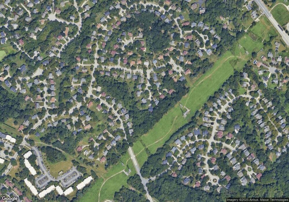
Map
Nearby Homes
- 8611 Open Meadow Way
- 8611 Meadowsweet Ct
- 8709 Hayshed Ln Unit 22
- 8723 Hayshed Ln Unit 21
- 8682 Open Meadow Way
- 8587 Black Star Cir
- 8790 Tamar Dr
- 8704 Tamar Dr
- 5846 Donovan Ln
- 8347 Montgomery Run Rd Unit B
- 8378 Montgomery Run Rd Unit D
- 8393 Montgomery Run Rd Unit UTH
- 8385 Montgomery Run Rd Unit C
- 8571 Falls Run Rd
- 8377 Montgomery Run Rd Unit I
- 8571 Falls Run Rd Unit E
- 6051 Talbot Dr
- 5540 Waterloo Rd
- 8869 Tamebird Ct
- 5803 Lois Ln
- 8508 Wild Wing Way
- 8516 Wild Wing Way
- 8517 Wild Wing Way
- 8504 Wild Wing Way
- 8513 Wild Wing Way
- 8643 Stonecutter Rd
- 8639 Stonecutter Rd
- 8506 Wild Wing Way
- 8647 Stonecutter Rd
- 8505 Wild Wing Way
- 8502 Hayshed Ln
- 8635 Stonecutter Rd
- 8501 Wild Wing Way
- 8498 Hayshed Ln
- 8509 Wild Wing Way
- 8651 Stonecutter Rd
- 8494 Hayshed Ln
- 8518 Hayshed Ln
- 8631 Stonecutter Rd
- 8655 Stonecutter Rd