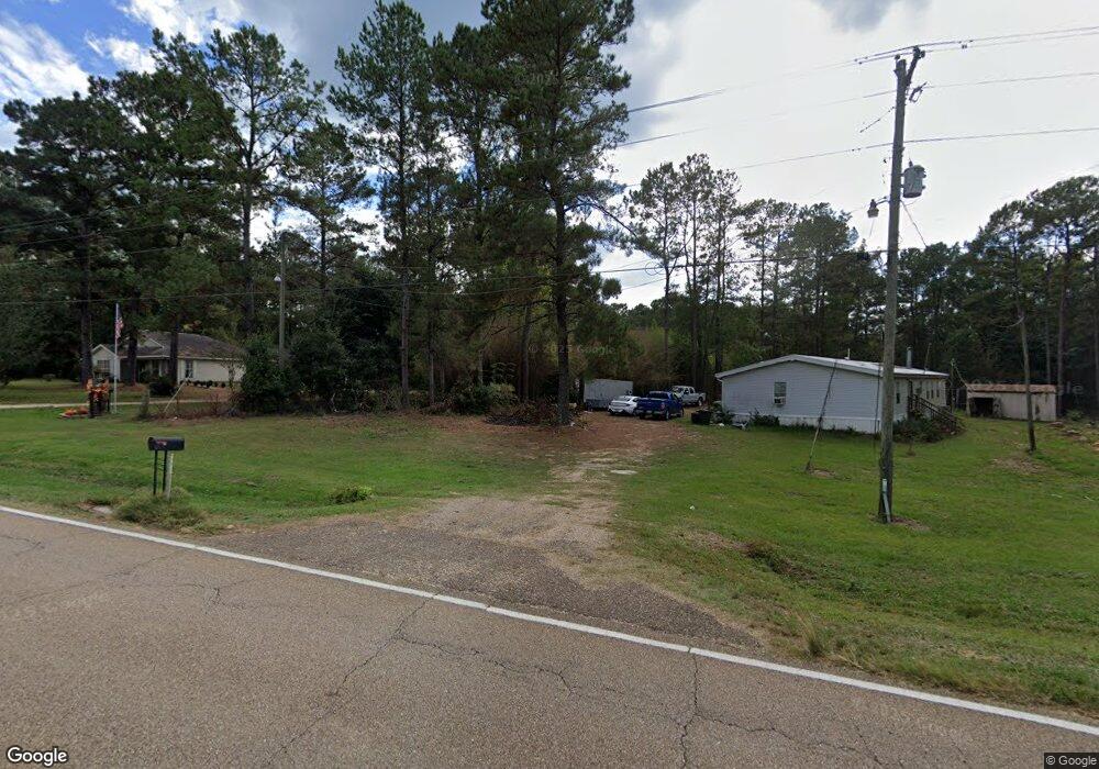
85135 Highway 437 Covington, LA 70435
Estimated Value: $283,000 - $335,000
4
Beds
2
Baths
1,788
Sq Ft
$176/Sq Ft
Est. Value
About This Home
This home is located at 85135 Highway 437, Covington, LA 70435 and is currently estimated at $314,939, approximately $176 per square foot. 85135 Highway 437 is a home located in St. Tammany Parish with nearby schools including Lee Road Junior High School and Covington High School.
Ownership History
Date
Name
Owned For
Owner Type
Purchase Details
Closed on
Nov 4, 2015
Sold by
Forrest Kimberly M Kern
Bought by
Altobelli Rebecca Ann F
Current Estimated Value
Purchase Details
Closed on
Oct 12, 2011
Sold by
Haner Mark Howard and Haner Paula Hicks
Bought by
Forrest Kimberly Kern
Home Financials for this Owner
Home Financials are based on the most recent Mortgage that was taken out on this home.
Original Mortgage
$168,000
Interest Rate
4.13%
Mortgage Type
New Conventional
Create a Home Valuation Report for This Property
The Home Valuation Report is an in-depth analysis detailing your home's value as well as a comparison with similar homes in the area
Home Values in the Area
Average Home Value in this Area
Purchase History
| Date | Buyer | Sale Price | Title Company |
|---|---|---|---|
| Altobelli Rebecca Ann F | $215,000 | Best Title | |
| Forrest Kimberly Kern | $198,000 | Crescent Title Llc |
Source: Public Records
Mortgage History
| Date | Status | Borrower | Loan Amount |
|---|---|---|---|
| Previous Owner | Forrest Kimberly Kern | $168,000 |
Source: Public Records
Tax History
| Year | Tax Paid | Tax Assessment Tax Assessment Total Assessment is a certain percentage of the fair market value that is determined by local assessors to be the total taxable value of land and additions on the property. | Land | Improvement |
|---|---|---|---|---|
| 2025 | $1,822 | $23,182 | $2,335 | $20,847 |
| 2024 | $1,822 | $23,182 | $2,335 | $20,847 |
| 2023 | $1,891 | $19,043 | $2,585 | $16,458 |
| 2022 | $150,833 | $19,043 | $2,585 | $16,458 |
| 2021 | $1,500 | $19,043 | $2,585 | $16,458 |
| 2020 | $1,490 | $19,043 | $2,585 | $16,458 |
| 2019 | $2,319 | $17,236 | $2,155 | $15,081 |
| 2018 | $2,322 | $17,151 | $2,070 | $15,081 |
| 2017 | $2,356 | $17,151 | $2,070 | $15,081 |
| 2016 | $2,366 | $17,151 | $2,070 | $15,081 |
| 2015 | $1,033 | $14,622 | $1,000 | $13,622 |
| 2014 | $1,021 | $14,622 | $1,000 | $13,622 |
| 2013 | -- | $14,622 | $1,000 | $13,622 |
Source: Public Records
Map
Nearby Homes
- 84241 Hwy 437 None
- Parcel E Hwy 437 None
- Parcel C N Factory (Hwy 1080) Rd
- 0 Camus Ln
- 63.16 Acres N Factory (Hwy 1080) Rd
- 16134 Hezzie Loyd Rd
- 83582 Holliday Rd
- 85147 N Factory Rd
- 83614 Highway 1080 (N Factory Rd) Hwy
- 82491 Louisiana 437
- 82491 Highway 437
- 83104 Beason Rd
- 85200 Highway 1129
- 14712 Graci Rd
- Lot 102 Bleu Lake Dr
- 42 Green Hills Dr
- Lot 51 Riverlake St
- 82499 Hwy 1080 N Factory Rd Rd
- 82336 N Factory Rd
- 85135 Highway 437
- 85135 Highway 437
- 17213 Woodrow Rd
- 17105 Woodrow Rd
- 0 Woodrow Rd Unit 840233
- 85141 Highway 437
- 86141 Louisiana 437
- 85141 Highway 437
- 85155 Highway 437
- 85155 Highway 437
- 85155 Highway 437
- 85207 Highway 437 None
- 85207 Louisiana 437
- 28.57 Acres Hwy 437 Barcelona Rd
- 85100 Highway 437
- 85138 Highway 437
- 85180 Highway 437
- 85130 Highway 437
- 85130 Highway 437
- 85130 Highway 437
Your Personal Tour Guide
Ask me questions while you tour the home.