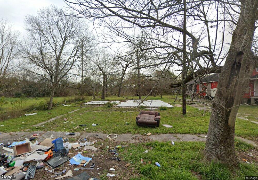
8516 Lenore St Unit 770 Houston, TX 77017
Meadowbrook-Allendale NeighborhoodEstimated Value: $116,079 - $305,000
3
Beds
1
Bath
1,062
Sq Ft
$176/Sq Ft
Est. Value
About This Home
This home is located at 8516 Lenore St Unit 770, Houston, TX 77017 and is currently estimated at $186,770, approximately $175 per square foot. 8516 Lenore St Unit 770 is a home located in Harris County with nearby schools including Bonner Elementary School, Stevenson Middle School, and Chavez High School.
Ownership History
Date
Name
Owned For
Owner Type
Purchase Details
Closed on
Jan 16, 2025
Sold by
Saharat Ltd
Bought by
Alsatar International
Current Estimated Value
Purchase Details
Closed on
Jul 3, 2015
Sold by
Koronfel Sarah Niazy Amin
Bought by
Saharat Ltd
Purchase Details
Closed on
Aug 9, 2010
Sold by
Saharat Ltd
Bought by
Koronfel Sarah N Amin
Purchase Details
Closed on
Jan 22, 2010
Sold by
Koronfel Niazy Amin Ibrahim
Bought by
Saharat Ltd
Purchase Details
Closed on
Apr 26, 1994
Sold by
Hightower Vastine W and Hightower Eddie
Bought by
Cortez Gregorio and Cortez Senorina E
Create a Home Valuation Report for This Property
The Home Valuation Report is an in-depth analysis detailing your home's value as well as a comparison with similar homes in the area
Home Values in the Area
Average Home Value in this Area
Purchase History
| Date | Buyer | Sale Price | Title Company |
|---|---|---|---|
| Alsatar International | -- | None Listed On Document | |
| Saharat Ltd | -- | None Available | |
| Koronfel Sarah N Amin | -- | None Available | |
| Saharat Ltd | -- | None Available | |
| Cortez Gregorio | -- | First American Title |
Source: Public Records
Tax History Compared to Growth
Tax History
| Year | Tax Paid | Tax Assessment Tax Assessment Total Assessment is a certain percentage of the fair market value that is determined by local assessors to be the total taxable value of land and additions on the property. | Land | Improvement |
|---|---|---|---|---|
| 2025 | $1,095 | $52,325 | $52,325 | -- |
| 2024 | $1,095 | $52,325 | $52,325 | -- |
| 2023 | $1,054 | $52,325 | $52,325 | $0 |
| 2022 | $1,111 | $37,492 | $37,492 | $0 |
| 2021 | $827 | $35,497 | $33,638 | $1,859 |
| 2020 | $860 | $35,497 | $33,638 | $1,859 |
| 2019 | $898 | $35,497 | $33,638 | $1,859 |
| 2018 | $662 | $26,153 | $24,294 | $1,859 |
| 2017 | $614 | $29,145 | $24,294 | $4,851 |
| 2016 | $782 | $30,922 | $24,294 | $6,628 |
| 2015 | -- | $31,539 | $24,294 | $7,245 |
| 2014 | -- | $24,794 | $24,294 | $500 |
Source: Public Records
Map
Nearby Homes
- 8410 Elrod St
- 8349 Lenore St
- 0 Barkley St Unit 62327585
- 4933 Barkley St
- 5230 Cripple Creek Ct
- 8209 Howard Dr
- 8172 Milredge St
- 3027 N Bayou Dr
- 8148 Bendell Dr
- 1926 Mosa Creek Ct
- 4214 Neal St
- 8543 Chalcos Dr
- 5615 Cripple Brook Ct
- 5617 Cripple Brook Ct
- 1919 Mosa Creek Ct
- 8108 Howard Dr
- 5226 Berry Creek Dr
- 0 Schury Ln
- 110 Rockleigh Place
- 5822 Santa Bernadetta
- 8512 Lenore St
- 8520 Lenore St
- 8526 Lenore St Unit 8
- 8508 Lenore St
- 8505 Lenore St
- 8501 Lenore St
- 4946 Alaska St Unit 1
- 8435 Elrod St
- 8440 Elrod St
- 8441 Lenore St
- 8500 Barkley St
- 8431 Elrod St
- 8434 Elrod St
- 8456 Barkley St
- 8437 Lenore St
- 8450 Barkley St
- 8421 Elrod St
- 8428 Lenore St
- 8428 Elrod St
- 8444 Barkley St
