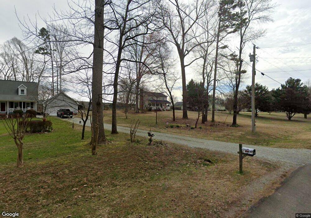
8516 Polaris Dr Bahama, NC 27503
Estimated Value: $360,000 - $431,000
3
Beds
3
Baths
1,838
Sq Ft
$213/Sq Ft
Est. Value
About This Home
This home is located at 8516 Polaris Dr, Bahama, NC 27503 and is currently estimated at $391,435, approximately $212 per square foot. 8516 Polaris Dr is a home located in Durham County with nearby schools including Mangum Elementary School, Lucas Middle School, and Northern High School.
Ownership History
Date
Name
Owned For
Owner Type
Purchase Details
Closed on
Nov 29, 2016
Sold by
Wilkins Stephen W
Bought by
Veronin Edward and Veronin Mary
Current Estimated Value
Purchase Details
Closed on
Dec 15, 1997
Sold by
Watkins Barry D and Watkins Elaine I
Bought by
Wilkins Stephen W and Wilkins Darlene R
Home Financials for this Owner
Home Financials are based on the most recent Mortgage that was taken out on this home.
Original Mortgage
$148,410
Interest Rate
7.19%
Mortgage Type
VA
Create a Home Valuation Report for This Property
The Home Valuation Report is an in-depth analysis detailing your home's value as well as a comparison with similar homes in the area
Home Values in the Area
Average Home Value in this Area
Purchase History
| Date | Buyer | Sale Price | Title Company |
|---|---|---|---|
| Veronin Edward | $205,000 | -- | |
| Wilkins Stephen W | $145,500 | -- |
Source: Public Records
Mortgage History
| Date | Status | Borrower | Loan Amount |
|---|---|---|---|
| Previous Owner | Wilkins Stephen W | $148,410 |
Source: Public Records
Tax History Compared to Growth
Tax History
| Year | Tax Paid | Tax Assessment Tax Assessment Total Assessment is a certain percentage of the fair market value that is determined by local assessors to be the total taxable value of land and additions on the property. | Land | Improvement |
|---|---|---|---|---|
| 2025 | $2,923 | $396,910 | $98,500 | $298,410 |
| 2024 | $2,056 | $192,338 | $49,325 | $143,013 |
| 2023 | $1,934 | $192,338 | $49,325 | $143,013 |
| 2022 | $1,840 | $192,338 | $49,325 | $143,013 |
| 2021 | $1,579 | $192,338 | $49,325 | $143,013 |
| 2020 | $1,560 | $192,338 | $49,325 | $143,013 |
| 2019 | $1,560 | $192,338 | $49,325 | $143,013 |
| 2018 | $1,461 | $166,680 | $29,595 | $137,085 |
| 2017 | $1,444 | $166,680 | $29,595 | $137,085 |
| 2016 | $1,399 | $166,680 | $29,595 | $137,085 |
| 2015 | $1,775 | $183,455 | $31,881 | $151,574 |
| 2014 | $1,775 | $183,455 | $31,881 | $151,574 |
Source: Public Records
Map
Nearby Homes
- 8313 Polaris Dr
- 9625 S Lowell Rd
- 8636 Johnson Mill Rd
- 0 Matthew Ln
- 921 Matthew Ln
- 2210 Harris Rd
- 418 Quail Roost Farm Rd
- 8635 Johnson Mill Rd
- 309 Appaloosa Trail
- 404 Phar Lap Ln
- 10620 N Roxboro Rd
- 10 Pony Ct
- 8200 Bromley Rd
- 673 Bill Poole Rd
- 10418 Stallion Way
- 1270 Moores Mill Rd
- 7433 Guess Rd
- 7421 Guess Rd
- 7415 Guess Rd
- 7409 Guess Rd
- 8512 Polaris Dr
- 8520 Polaris Dr
- 8510 Polaris Dr
- 8517 Polaris Dr
- 8513 Polaris Dr
- 8521 Polaris Dr
- 8504 Polaris Dr
- 8523 Polaris Dr
- 8509 Polaris Dr
- 8502 Polaris Dr
- 8503 Polaris Dr
- 8418 Polaris Dr
- 8417 Polaris Dr
- 8414 Polaris Dr
- 8413 Polaris Dr
- 8408 Polaris Dr
- 8407 Polaris Dr
- 8402 Polaris Dr
- 8401 Polaris Dr
- 8320 Polaris Dr