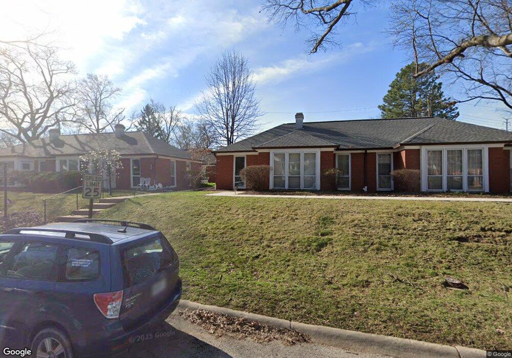
8516 Stanford Ave Saint Louis, MO 63132
Estimated Value: $123,000 - $136,000
2
Beds
1
Bath
836
Sq Ft
$155/Sq Ft
Est. Value
About This Home
This home is located at 8516 Stanford Ave, Saint Louis, MO 63132 and is currently estimated at $129,474, approximately $154 per square foot. 8516 Stanford Ave is a home located in St. Louis County with nearby schools including Flynn Park Elementary, Brittany Woods Middle School, and University City High School.
Ownership History
Date
Name
Owned For
Owner Type
Purchase Details
Closed on
Oct 5, 2023
Sold by
Advantage Properties Llc
Bought by
Stl 2K Properties Llc
Current Estimated Value
Purchase Details
Closed on
Jun 10, 2014
Sold by
Williamsburgh Village Condominium
Bought by
Advantage Properties Llc
Purchase Details
Closed on
Dec 6, 1999
Sold by
Diederich Myrtle B & Trustee
Bought by
Liggins Gladys A
Purchase Details
Closed on
Jun 25, 1997
Sold by
Diederich Myrtle B
Bought by
Diederich Myrtle B and Mercantile Trust Company Na
Create a Home Valuation Report for This Property
The Home Valuation Report is an in-depth analysis detailing your home's value as well as a comparison with similar homes in the area
Home Values in the Area
Average Home Value in this Area
Purchase History
| Date | Buyer | Sale Price | Title Company |
|---|---|---|---|
| Stl 2K Properties Llc | -- | None Listed On Document | |
| Advantage Properties Llc | $32,500 | None Available | |
| Liggins Gladys A | $70,000 | -- | |
| Diederich Myrtle B | -- | -- |
Source: Public Records
Tax History Compared to Growth
Tax History
| Year | Tax Paid | Tax Assessment Tax Assessment Total Assessment is a certain percentage of the fair market value that is determined by local assessors to be the total taxable value of land and additions on the property. | Land | Improvement |
|---|---|---|---|---|
| 2025 | $1,479 | $24,190 | $6,990 | $17,200 |
| 2024 | $1,479 | $20,280 | $2,000 | $18,280 |
| 2023 | $1,477 | $20,280 | $2,000 | $18,280 |
| 2022 | $1,356 | $17,310 | $5,240 | $12,070 |
| 2021 | $1,343 | $17,310 | $5,240 | $12,070 |
| 2020 | $1,424 | $17,940 | $4,370 | $13,570 |
| 2019 | $1,412 | $17,940 | $4,370 | $13,570 |
| 2018 | $1,304 | $15,280 | $4,370 | $10,910 |
| 2017 | $1,307 | $15,280 | $4,370 | $10,910 |
| 2016 | $1,245 | $13,910 | $2,550 | $11,360 |
| 2015 | $1,249 | $13,910 | $2,550 | $11,360 |
| 2014 | $1,402 | $15,410 | $2,810 | $12,600 |
Source: Public Records
Map
Nearby Homes
- 4 Anfred Walk
- 833 Berick Dr
- 5 Delcrest Ct Unit 101
- 2 Delcrest Ct Unit 202
- 509 Kingdel Dr
- 8162 Amherst Ave
- 8631 Old Bonhomme Rd Unit 3E
- 8312 Old Bonhomme Rd
- 10 Ladue Hills Dr
- 8100 Delmar Blvd Unit 1W
- 4 Pricemont Dr
- 8032 Lafon Place
- 248 Gay Ave
- 8634 Mayflower Ct
- 155 Gay Ave Unit 7
- 212 Gay Ave
- 8333 Kingsbury Blvd
- 4 Pointer Ln
- 7939 Lafon Place
- 221 Topton Way
- 8514 Stanford Ave
- 14 Anfred Walk
- 16 Anfred Walk
- 8508 Stanford Ave Unit 3
- 8506 Stanford Ave Unit 2
- 12 Anfred Walk Unit 21
- 800 N Mcknight Rd
- 19 Anfred Walk
- 802 N Mcknight Rd
- 20 Anfred Walk
- 18 Anfred Walk Unit 19
- 1 Anfred Walk
- 8522 Stanford Ave
- 21 Anfred Walk
- 8500 Stanford Ave Unit 1
- 15 Anfred Walk Unit 8
- 17 Anfred Walk
- 806 N Mcknight Rd
- 725 Berick Dr
- 801 Berick Dr