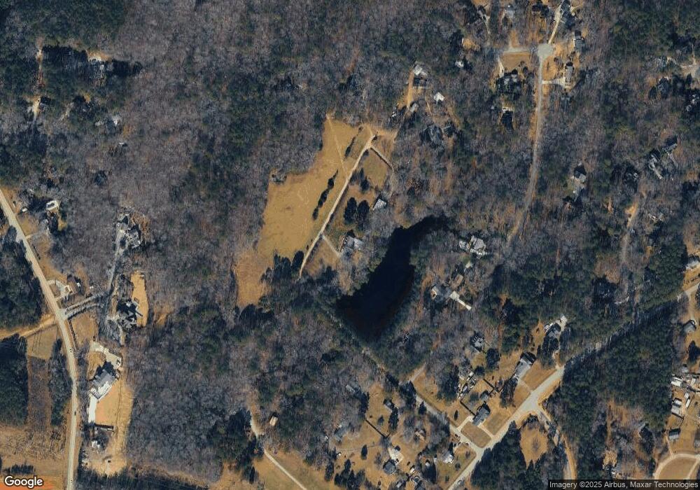
8517 Burnside Dr Apex, NC 27539
Middle Creek NeighborhoodEstimated Value: $949,000 - $1,308,000
4
Beds
4
Baths
3,763
Sq Ft
$300/Sq Ft
Est. Value
About This Home
This home is located at 8517 Burnside Dr, Apex, NC 27539 and is currently estimated at $1,128,500, approximately $299 per square foot. 8517 Burnside Dr is a home located in Wake County with nearby schools including West Lake Elementary School, West Lake Middle, and Middle Creek High.
Ownership History
Date
Name
Owned For
Owner Type
Purchase Details
Closed on
May 15, 2013
Sold by
Weiner Daniel L
Bought by
Dott Leslie E and Dott Catherine S
Current Estimated Value
Home Financials for this Owner
Home Financials are based on the most recent Mortgage that was taken out on this home.
Original Mortgage
$417,000
Outstanding Balance
$296,549
Interest Rate
3.56%
Mortgage Type
New Conventional
Estimated Equity
$831,951
Purchase Details
Closed on
May 23, 2011
Sold by
Weiner Daniel L and Weiner Oris
Bought by
Weiner Daniel L and Daniel L Weiner Revocable Trust
Purchase Details
Closed on
Dec 19, 2003
Sold by
Weiner Gail K
Bought by
Weiner Daniel L
Create a Home Valuation Report for This Property
The Home Valuation Report is an in-depth analysis detailing your home's value as well as a comparison with similar homes in the area
Home Values in the Area
Average Home Value in this Area
Purchase History
| Date | Buyer | Sale Price | Title Company |
|---|---|---|---|
| Dott Leslie E | $650,000 | None Available | |
| Weiner Daniel L | -- | None Available | |
| Weiner Daniel L | -- | -- |
Source: Public Records
Mortgage History
| Date | Status | Borrower | Loan Amount |
|---|---|---|---|
| Open | Dott Leslie E | $417,000 |
Source: Public Records
Tax History Compared to Growth
Tax History
| Year | Tax Paid | Tax Assessment Tax Assessment Total Assessment is a certain percentage of the fair market value that is determined by local assessors to be the total taxable value of land and additions on the property. | Land | Improvement |
|---|---|---|---|---|
| 2025 | $6,970 | $1,083,557 | $408,160 | $675,397 |
| 2024 | $6,769 | $1,083,557 | $408,160 | $675,397 |
| 2023 | $6,388 | $814,129 | $307,440 | $506,689 |
| 2022 | $5,920 | $814,129 | $307,440 | $506,689 |
| 2021 | $5,761 | $814,129 | $307,440 | $506,689 |
| 2020 | $5,666 | $814,129 | $307,440 | $506,689 |
| 2019 | $5,410 | $657,549 | $244,320 | $413,229 |
| 2018 | $4,974 | $657,549 | $244,320 | $413,229 |
| 2017 | $4,715 | $657,549 | $244,320 | $413,229 |
| 2016 | $4,620 | $657,549 | $244,320 | $413,229 |
| 2015 | $4,829 | $689,565 | $378,720 | $310,845 |
| 2014 | $4,577 | $689,565 | $378,720 | $310,845 |
Source: Public Records
Map
Nearby Homes
- 4317 Glen Arbor Dr
- 3101 Sawyers Mill Dr
- 4324 Brighton Ridge Dr
- 2813 Glastonbury Rd
- 3408 Sawyers Mill Dr
- 4301 New Brighton Dr
- 2699 Needle Pine Dr
- 2724 Glastonbury Rd
- 2629 Brad Ct
- 3712 Sawyers Mill Dr
- 2512 Thurrock Dr
- 8405 Bells Lake Rd
- 3101 Canopy Woods Dr
- 8224 Bells Lake Rd
- 8220 Bells Lake Rd
- 9705/9713 Lake Wheeler Rd
- 4805 Ozark St
- 4601 Okeechobee Ct
- 9645 Eden Trail
- 9704 Eden Trail
- 0 Burnside Dr
- 8556 Applecross Cir
- 8560 Applecross Cir
- 8552 Applecross Cir
- 8616 Burnside Dr
- 8544 Applecross Cir
- 8624 Burnside Dr
- 8409 Burnside Dr
- 8620 Burnside Dr
- 8508 Burnside Dr
- 8549 Applecross Cir
- 8504 Burnside Dr
- 8628 Burnside Dr
- 8547 Applecross Cir
- 8553 Applecross Cir
- 8632 Burnside Dr
- 4708 Johnson Pond Rd
- 8520 Applecross Cir
- 4710 Johnson Pond Rd
- 8508 Applecross Cir
