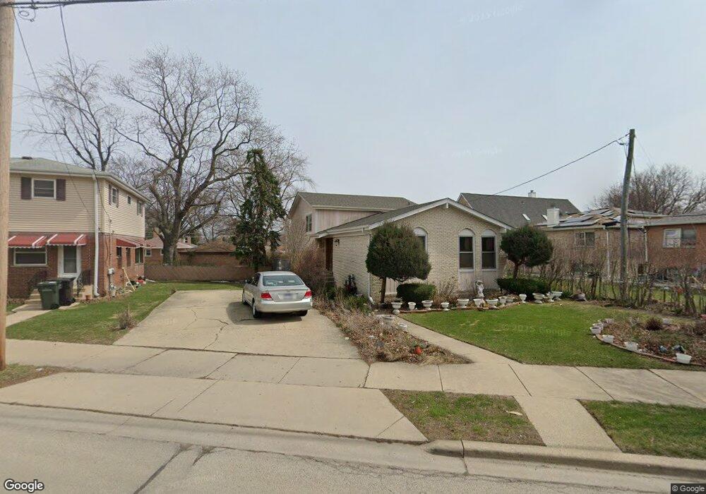
8517 Gross Point Rd Skokie, IL 60077
Southwest Skokie NeighborhoodEstimated Value: $403,000 - $459,299
3
Beds
2
Baths
1,381
Sq Ft
$316/Sq Ft
Est. Value
About This Home
This home is located at 8517 Gross Point Rd, Skokie, IL 60077 and is currently estimated at $436,825, approximately $316 per square foot. 8517 Gross Point Rd is a home located in Cook County with nearby schools including Madison Elementary School, Thomas Edison Elementary School, and Lincoln Junior High School.
Ownership History
Date
Name
Owned For
Owner Type
Purchase Details
Closed on
Aug 25, 2014
Sold by
Rosales Juan T and Rosales Lita
Bought by
Rosales John and Rosales Lita
Current Estimated Value
Home Financials for this Owner
Home Financials are based on the most recent Mortgage that was taken out on this home.
Original Mortgage
$164,500
Interest Rate
4.21%
Mortgage Type
New Conventional
Create a Home Valuation Report for This Property
The Home Valuation Report is an in-depth analysis detailing your home's value as well as a comparison with similar homes in the area
Home Values in the Area
Average Home Value in this Area
Purchase History
| Date | Buyer | Sale Price | Title Company |
|---|---|---|---|
| Rosales John | -- | None Available |
Source: Public Records
Mortgage History
| Date | Status | Borrower | Loan Amount |
|---|---|---|---|
| Closed | Rosales John | $164,500 |
Source: Public Records
Tax History Compared to Growth
Tax History
| Year | Tax Paid | Tax Assessment Tax Assessment Total Assessment is a certain percentage of the fair market value that is determined by local assessors to be the total taxable value of land and additions on the property. | Land | Improvement |
|---|---|---|---|---|
| 2024 | $8,743 | $34,001 | $6,572 | $27,429 |
| 2023 | $8,679 | $34,001 | $6,572 | $27,429 |
| 2022 | $8,679 | $34,001 | $6,572 | $27,429 |
| 2021 | $8,014 | $28,124 | $4,044 | $24,080 |
| 2020 | $8,105 | $28,124 | $4,044 | $24,080 |
| 2019 | $8,174 | $31,600 | $4,044 | $27,556 |
| 2018 | $7,799 | $27,969 | $3,664 | $24,305 |
| 2017 | $7,630 | $27,969 | $3,664 | $24,305 |
| 2016 | $8,750 | $30,103 | $3,664 | $26,439 |
| 2015 | $7,896 | $26,609 | $3,159 | $23,450 |
| 2014 | $7,751 | $26,609 | $3,159 | $23,450 |
| 2013 | $7,818 | $26,609 | $3,159 | $23,450 |
Source: Public Records
Map
Nearby Homes
- 8461 Gross Point Rd
- 8605 Laramie Ave
- 5309 Crain St
- 8541 Lotus Ave Unit 914
- 5109 Greenleaf St
- 5500 Lincoln Ave Unit 116E
- 5500 Lincoln Ave Unit 109W
- 8655 Harms Rd
- 8717 Gross Point Rd
- 5501 Lincoln Ave Unit 203
- 5510 Lincoln Ave Unit B301
- 5510 Lincoln Ave Unit B101
- 5506 Lincoln Ave Unit A117
- 5506 Lincoln Ave Unit A211
- 5506 Lincoln Ave Unit A216
- 8534 Terminal Ave
- 5032 Crain St
- 5253 Cleveland St
- 5148 Cleveland St
- 5001 Madison St Unit 3A
- 5307 Wright Terrace
- 5301 Wright Terrace
- 5308 Lee St
- 5316 Lee St
- 5300 Lee St
- 5322 Lee St
- 5259 Wright Terrace
- 5258 Lee St
- 5323 Wright Terrace
- 5323 Wright Terrace
- 8518 Gross Point Rd
- 5254 Lee St
- 5251 Wright Terrace
- 5316 Wright Terrace
- 8512 Gross Point Rd
- 5301 Lee St
- 5250 Lee St
- 8544 Gross Point Rd
- 8452 Lockwood Ave
- 8508 Gross Point Rd