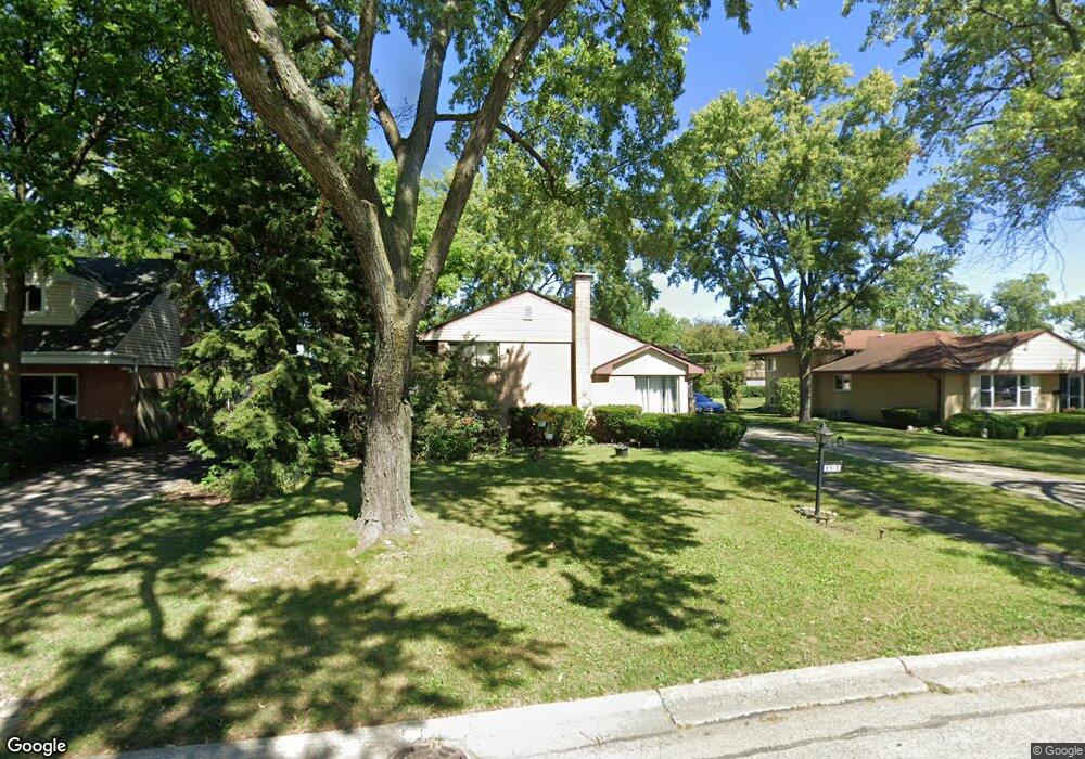
8518 W Crain St Niles, IL 60714
Ransom Ridge NeighborhoodEstimated Value: $449,430 - $553,000
3
Beds
2
Baths
1,310
Sq Ft
$389/Sq Ft
Est. Value
About This Home
This home is located at 8518 W Crain St, Niles, IL 60714 and is currently estimated at $509,358, approximately $388 per square foot. 8518 W Crain St is a home located in Cook County with nearby schools including V H Nelson Elementary School, Gemini Middle School, and Maine East High School.
Ownership History
Date
Name
Owned For
Owner Type
Purchase Details
Closed on
Jun 22, 2016
Sold by
Pacheco Lori A and Pacheco Frank D
Bought by
Pacheco Lori A and Pacheco Frank D
Current Estimated Value
Purchase Details
Closed on
Jan 28, 2016
Sold by
Eichelberg Edwin J
Bought by
Pacheco Lori A and Pacheco Frank D
Create a Home Valuation Report for This Property
The Home Valuation Report is an in-depth analysis detailing your home's value as well as a comparison with similar homes in the area
Home Values in the Area
Average Home Value in this Area
Purchase History
| Date | Buyer | Sale Price | Title Company |
|---|---|---|---|
| Pacheco Lori A | -- | Attorney | |
| Pacheco Lori A | -- | Attorney |
Source: Public Records
Tax History Compared to Growth
Tax History
| Year | Tax Paid | Tax Assessment Tax Assessment Total Assessment is a certain percentage of the fair market value that is determined by local assessors to be the total taxable value of land and additions on the property. | Land | Improvement |
|---|---|---|---|---|
| 2024 | $7,052 | $34,000 | $11,907 | $22,093 |
| 2023 | $6,572 | $34,000 | $11,907 | $22,093 |
| 2022 | $6,572 | $34,000 | $11,907 | $22,093 |
| 2021 | $5,609 | $25,989 | $10,206 | $15,783 |
| 2020 | $5,429 | $25,989 | $10,206 | $15,783 |
| 2019 | $6,274 | $32,898 | $10,206 | $22,692 |
| 2018 | $6,794 | $29,597 | $8,788 | $20,809 |
| 2017 | $6,746 | $29,597 | $8,788 | $20,809 |
| 2016 | $6,677 | $29,597 | $8,788 | $20,809 |
| 2015 | $6,178 | $25,591 | $7,371 | $18,220 |
| 2014 | $5,498 | $25,591 | $7,371 | $18,220 |
| 2013 | $5,373 | $25,591 | $7,371 | $18,220 |
Source: Public Records
Map
Nearby Homes
- 8426 W Betty Terrace
- 8619 W Park Ln
- 8554 W Bruce Dr
- 8905 Knight Ave Unit F211
- 8803 N Grand St
- 8901 N Western Ave Unit A211
- 8802 N Prospect St
- 8936 N Parkside Ave Unit B108
- 8516 W Normal Ave
- 1710 Dempster St Unit C
- 1144 N Greenwood Ave
- 8904 Robin Dr
- 9276 N Western Ave
- 9326 Greenwood Ave
- 8807 Dee Rd
- 9256 N Parkside Dr
- 1220 N Hamlin Ave
- 1712 Woodland Ave
- 1025 N Knight Ave
- 8653 N Merrill St
- 8512 W Crain St
- 8524 W Crain St
- 8506 W Crain St
- 8530 W Crain St
- 8519 W Carol St
- 8525 W Carol St Unit 1
- 8513 W Carol St
- 8531 W Carol St
- 8536 W Crain St
- 8500 W Crain St
- 8507 W Carol St Unit 1
- 8519 W Crain St
- 8513 W Crain St
- 8525 W Crain St
- 8537 W Carol St
- 8507 W Crain St
- 8531 W Crain St
- 8501 W Carol St Unit 1
- 8542 W Crain St
- 8537 W Crain St