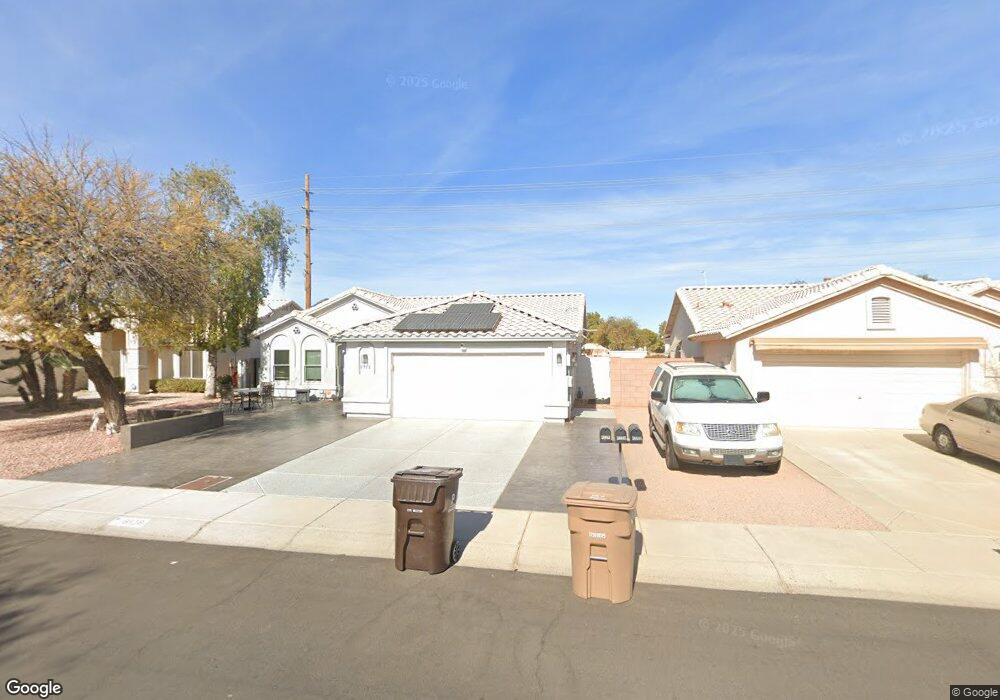
8518 W Dahlia Dr Peoria, AZ 85381
Estimated Value: $325,674 - $415,000
3
Beds
2
Baths
1,431
Sq Ft
$271/Sq Ft
Est. Value
About This Home
This home is located at 8518 W Dahlia Dr, Peoria, AZ 85381 and is currently estimated at $388,169, approximately $271 per square foot. 8518 W Dahlia Dr is a home located in Maricopa County with nearby schools including Sky View Elementary School, Peoria High School, and Arrowhead Montessori.
Ownership History
Date
Name
Owned For
Owner Type
Purchase Details
Closed on
Aug 26, 2011
Sold by
Davis Danny F and Davis Paulette E
Bought by
Davis Danny F and Davis Paulette E
Current Estimated Value
Purchase Details
Closed on
Jul 18, 1996
Sold by
Donros Development Lp
Bought by
Davis Danny F and Davis Paulette E
Home Financials for this Owner
Home Financials are based on the most recent Mortgage that was taken out on this home.
Original Mortgage
$62,300
Outstanding Balance
$3,653
Interest Rate
6.05%
Mortgage Type
New Conventional
Estimated Equity
$384,516
Create a Home Valuation Report for This Property
The Home Valuation Report is an in-depth analysis detailing your home's value as well as a comparison with similar homes in the area
Home Values in the Area
Average Home Value in this Area
Purchase History
| Date | Buyer | Sale Price | Title Company |
|---|---|---|---|
| Davis Danny F | -- | None Available | |
| Davis Danny F | $113,000 | Security Title Agency |
Source: Public Records
Mortgage History
| Date | Status | Borrower | Loan Amount |
|---|---|---|---|
| Open | Davis Danny F | $62,300 |
Source: Public Records
Tax History Compared to Growth
Tax History
| Year | Tax Paid | Tax Assessment Tax Assessment Total Assessment is a certain percentage of the fair market value that is determined by local assessors to be the total taxable value of land and additions on the property. | Land | Improvement |
|---|---|---|---|---|
| 2025 | $1,237 | $15,239 | -- | -- |
| 2024 | $1,261 | $14,514 | -- | -- |
| 2023 | $1,261 | $26,880 | $5,370 | $21,510 |
| 2022 | $1,243 | $20,780 | $4,150 | $16,630 |
| 2021 | $1,341 | $18,670 | $3,730 | $14,940 |
| 2020 | $1,339 | $17,700 | $3,540 | $14,160 |
| 2019 | $1,288 | $16,350 | $3,270 | $13,080 |
| 2018 | $1,220 | $14,070 | $2,810 | $11,260 |
| 2017 | $1,218 | $13,250 | $2,650 | $10,600 |
| 2016 | $1,344 | $13,780 | $2,750 | $11,030 |
| 2015 | $1,143 | $13,270 | $2,650 | $10,620 |
Source: Public Records
Map
Nearby Homes
- 12751 N 85th Dr
- 12759 N 86th Ln
- 8720 W Windsor Dr
- 8408 W Corrine Dr
- 8759 W Surrey Ave
- 8752 W Windsor Dr
- 13461 N 87th Dr
- 13349 N 87th Ln
- 13307 N 84th Ave
- 13414 N 87th Ln
- 8508 W Bloomfield Rd
- 13216 N 88th Ave
- 13248 N 88th Ave
- 8503 W Bloomfield Rd
- 8789 W Desert Trail
- 8758 W Bloomfield Rd
- 8443 W Charter Oak Rd
- 8633 W Wethersfield Rd
- 13620 N 82nd Ln
- 8733 W Wethersfield Rd
- 8524 W Dahlia Dr
- 8512 W Dahlia Dr
- 8530 W Dahlia Dr
- 8517 W Dahlia Dr
- 8523 W Dahlia Dr
- 8536 W Dahlia Dr
- 8511 W Dahlia Dr
- 1111 W Not Disclosed Cir
- 8448 W Dahlia Dr
- 8529 W Dahlia Dr
- 8542 W Dahlia Dr
- 8535 W Dahlia Dr
- 8447 W Dahlia Dr
- 8442 W Dahlia Dr
- 8516 W Aster Dr
- 8522 W Aster Dr
- 8541 W Dahlia Dr
- 8510 W Aster Dr
- 8522 W Sweetwater Ave