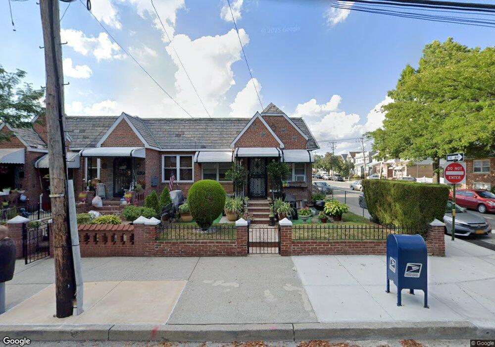
8519 133rd Ave Ozone Park, NY 11417
Ozone Park NeighborhoodEstimated Value: $603,076 - $717,000
--
Bed
--
Bath
861
Sq Ft
$796/Sq Ft
Est. Value
About This Home
This home is located at 8519 133rd Ave, Ozone Park, NY 11417 and is currently estimated at $685,269, approximately $795 per square foot. 8519 133rd Ave is a home located in Queens County with nearby schools including P.S. 63 - Old South, Robert H. Goddard High School, and Our World Neighborhood Charter School 2.
Ownership History
Date
Name
Owned For
Owner Type
Purchase Details
Closed on
Feb 21, 2008
Sold by
Lee Choon Sang
Bought by
Lee Choon Sang and Lee Xiao Hong
Current Estimated Value
Purchase Details
Closed on
Mar 22, 1996
Sold by
Ko Kwong Man and Ko Chi Wun Emily
Bought by
Lee Choon Sang
Home Financials for this Owner
Home Financials are based on the most recent Mortgage that was taken out on this home.
Original Mortgage
$104,000
Outstanding Balance
$4,204
Interest Rate
7.34%
Estimated Equity
$681,065
Create a Home Valuation Report for This Property
The Home Valuation Report is an in-depth analysis detailing your home's value as well as a comparison with similar homes in the area
Home Values in the Area
Average Home Value in this Area
Purchase History
| Date | Buyer | Sale Price | Title Company |
|---|---|---|---|
| Lee Choon Sang | -- | -- | |
| Lee Choon Sang | $132,000 | First American Title Ins Co |
Source: Public Records
Mortgage History
| Date | Status | Borrower | Loan Amount |
|---|---|---|---|
| Open | Lee Choon Sang | $104,000 |
Source: Public Records
Tax History Compared to Growth
Tax History
| Year | Tax Paid | Tax Assessment Tax Assessment Total Assessment is a certain percentage of the fair market value that is determined by local assessors to be the total taxable value of land and additions on the property. | Land | Improvement |
|---|---|---|---|---|
| 2025 | $5,272 | $29,306 | $9,496 | $19,810 |
| 2024 | $5,284 | $27,648 | $10,120 | $17,528 |
| 2023 | $5,272 | $27,648 | $9,895 | $17,753 |
| 2022 | $5,191 | $34,740 | $12,540 | $22,200 |
| 2021 | $5,152 | $34,260 | $12,540 | $21,720 |
| 2020 | $4,873 | $30,180 | $12,540 | $17,640 |
| 2019 | $4,527 | $27,840 | $12,540 | $15,300 |
| 2018 | $4,399 | $23,040 | $10,944 | $12,096 |
| 2017 | $4,362 | $22,867 | $11,192 | $11,675 |
| 2016 | $4,003 | $22,867 | $11,192 | $11,675 |
| 2015 | $2,450 | $20,352 | $12,296 | $8,056 |
| 2014 | $2,450 | $19,200 | $13,920 | $5,280 |
Source: Public Records
Map
Nearby Homes
- 8509 Sutter Ave
- 84-11 Sutter Ave
- 132-36 84th St
- 84-28 108th Ave
- 108-04 86th St
- 10724 87th St
- 133-42 86th St
- 132-18 89th St
- 84-09 107th Ave
- 132-20 82nd St
- 84-07 Sutter Ave
- 13236 82nd St
- 10751 89th St
- 84-11 106th Ave
- 107-50 90th St
- 105-47 88 St
- 105-35 86th St
- 105-43 88th St
- 105-34 86th St
- 105-39 88th St
- 8517 133rd Ave
- 8515 133rd Ave
- 132-43 Pitkin Ave
- 8511 133rd Ave
- 8522 Pitkin Ave
- 85-22 Pitkin Ave
- 8509 133rd Ave
- 85-09 133rd Ave
- 133-01 86th St
- 8507 133rd Ave
- 8518 Pitkin Ave
- 8505 133rd Ave
- 8611 133rd Ave
- 13302 86th St
- 8611 133rd Ave
- 132-33 86th St
- 13233 86th St
- 8503 133rd Ave
- 13304 86th St
- 13239 85th St