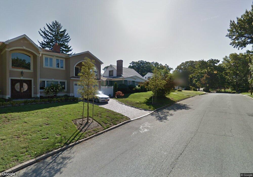
8519 Palo Alto St Hollis, NY 11423
Holliswood NeighborhoodEstimated Value: $1,614,000 - $2,345,000
--
Bed
--
Bath
3,295
Sq Ft
$566/Sq Ft
Est. Value
About This Home
This home is located at 8519 Palo Alto St, Hollis, NY 11423 and is currently estimated at $1,864,187, approximately $565 per square foot. 8519 Palo Alto St is a home located in Queens County with nearby schools including P.S. I.S. 178 The Holliswood School, George J. Ryan Middle School 216, and The Wellspring Schools.
Ownership History
Date
Name
Owned For
Owner Type
Purchase Details
Closed on
Aug 31, 2015
Sold by
Estate Of Charles B Weinbaum
Bought by
Talavera Love Marie and Yassin Steven
Current Estimated Value
Home Financials for this Owner
Home Financials are based on the most recent Mortgage that was taken out on this home.
Original Mortgage
$625,500
Outstanding Balance
$491,792
Interest Rate
3.94%
Mortgage Type
Purchase Money Mortgage
Estimated Equity
$1,372,395
Create a Home Valuation Report for This Property
The Home Valuation Report is an in-depth analysis detailing your home's value as well as a comparison with similar homes in the area
Home Values in the Area
Average Home Value in this Area
Purchase History
| Date | Buyer | Sale Price | Title Company |
|---|---|---|---|
| Talavera Love Marie | $910,000 | -- |
Source: Public Records
Mortgage History
| Date | Status | Borrower | Loan Amount |
|---|---|---|---|
| Open | Talavera Love Marie | $625,500 |
Source: Public Records
Tax History Compared to Growth
Tax History
| Year | Tax Paid | Tax Assessment Tax Assessment Total Assessment is a certain percentage of the fair market value that is determined by local assessors to be the total taxable value of land and additions on the property. | Land | Improvement |
|---|---|---|---|---|
| 2025 | $17,859 | $93,955 | $30,553 | $63,402 |
| 2024 | $15,255 | $88,915 | $33,837 | $55,078 |
| 2023 | $17,179 | $85,531 | $27,486 | $58,045 |
| 2022 | $14,239 | $103,980 | $35,940 | $68,040 |
| 2021 | $17,587 | $98,280 | $35,940 | $62,340 |
| 2020 | $15,705 | $93,360 | $35,940 | $57,420 |
| 2019 | $14,642 | $91,320 | $35,940 | $55,380 |
| 2018 | $13,694 | $67,176 | $28,648 | $38,528 |
| 2017 | $8,904 | $43,680 | $22,980 | $20,700 |
| 2016 | $9,657 | $43,680 | $22,980 | $20,700 |
| 2015 | $5,518 | $47,035 | $21,756 | $25,279 |
| 2014 | $5,518 | $44,374 | $22,057 | $22,317 |
Source: Public Records
Map
Nearby Homes
- 195-12 Mclaughlin Ave
- 190-22 Nero Ave
- 193-03 85th Rd
- 19346 Mclaughlin Ave
- 19512 Mclaughlin Ave
- 193-55 85th Rd
- 195-22 Mclaughlin Ave
- 86-55 Santiago St
- 19615 Como Ave
- 8714 Santiago St
- 8684 188th St
- 8702 Chevy Chase St
- 8716 Palo Alto St
- 184-51 Hovenden Rd
- 8702 188th St
- 18631 Radnor Rd
- 186-31 Radnor Rd
- 186-34 Henley Rd
- 19127 Foothill Ave
- 18414 Grand Central Pkwy
- 8519 Palo Alto St
- 8511 Palo Alto St
- 8525 Palo Alto St
- 8511 Palo Alto St
- 8580 Palermo St
- 8588 Palermo St
- 8588 Palermo St
- 8580 Palermo St
- 19049 Nero Ave
- 19105 Nero Ave
- 8505 Palo Alto St
- 8520 Palo Alto St
- 19116 Mclaughlin Ave
- 8514 Palo Alto St
- 8526 Palo Alto St
- 8596 Palermo St
- 8574 Palermo St
- 190-49 Nero Ave
- 191-05 Nero Ave
- 8532 Palo Alto St