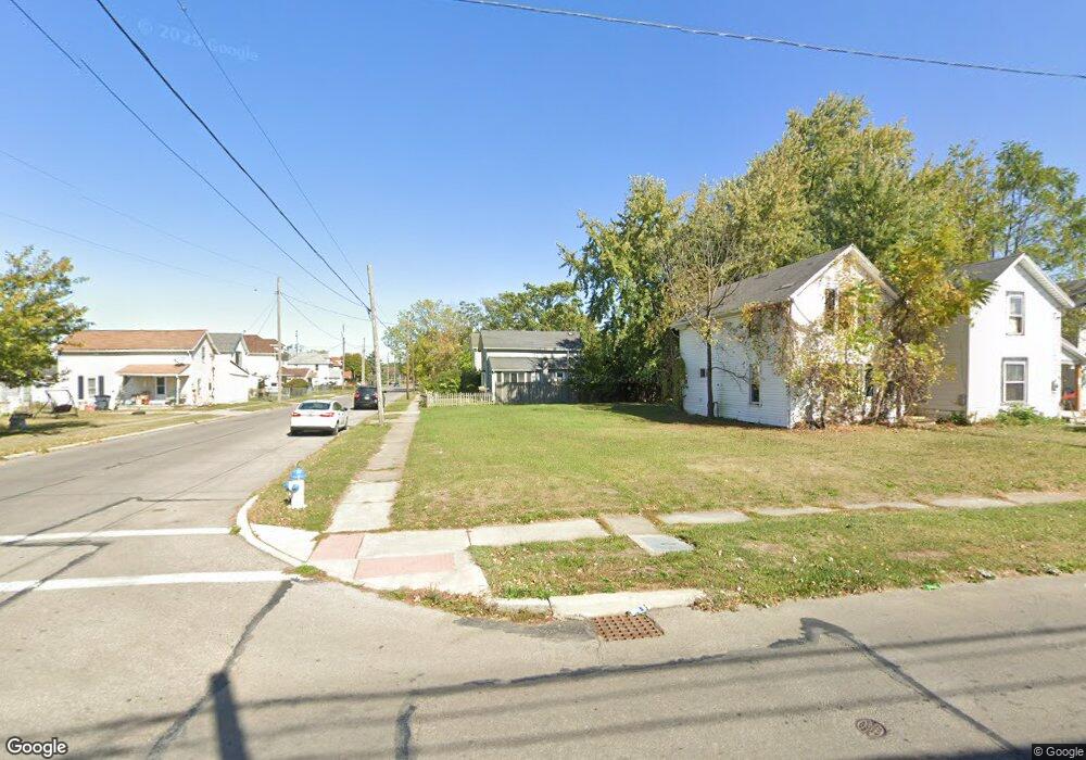
852 Bennett St Marion, OH 43302
Estimated Value: $31,000 - $82,000
3
Beds
1
Bath
967
Sq Ft
$58/Sq Ft
Est. Value
About This Home
This home is located at 852 Bennett St, Marion, OH 43302 and is currently estimated at $56,500, approximately $58 per square foot. 852 Bennett St is a home located in Marion County with nearby schools including James A. Garfield Elementary School, Ulysses S. Grant Middle School, and Harding High School.
Ownership History
Date
Name
Owned For
Owner Type
Purchase Details
Closed on
Apr 12, 2007
Sold by
Bank Of New York
Bought by
Mcintire James A and Mcintire Shirley K
Current Estimated Value
Purchase Details
Closed on
Feb 1, 2007
Sold by
Lee Dwayne
Bought by
Bank Of New York and Cwabs 2004 06
Purchase Details
Closed on
Sep 1, 1995
Bought by
Mcintire James A and Surv Shirley K
Purchase Details
Closed on
Sep 12, 1994
Bought by
Mcintire James A and Surv Shirley K
Create a Home Valuation Report for This Property
The Home Valuation Report is an in-depth analysis detailing your home's value as well as a comparison with similar homes in the area
Home Values in the Area
Average Home Value in this Area
Purchase History
| Date | Buyer | Sale Price | Title Company |
|---|---|---|---|
| Mcintire James A | $6,000 | Resource Title Agency | |
| Bank Of New York | $35,226 | None Available | |
| Mcintire James A | $20,000 | -- | |
| Mcintire James A | $9,500 | -- |
Source: Public Records
Tax History
| Year | Tax Paid | Tax Assessment Tax Assessment Total Assessment is a certain percentage of the fair market value that is determined by local assessors to be the total taxable value of land and additions on the property. | Land | Improvement |
|---|---|---|---|---|
| 2025 | $48 | $1,310 | $1,310 | -- |
| 2024 | $48 | $1,190 | $1,190 | -- |
| 2023 | $48 | $1,190 | $1,190 | $0 |
| 2022 | $44 | $1,190 | $1,190 | $0 |
| 2021 | $43 | $1,040 | $1,040 | $0 |
| 2020 | $81 | $6,810 | $1,040 | $5,770 |
| 2019 | $271 | $6,810 | $1,040 | $5,770 |
| 2018 | $354 | $8,890 | $1,040 | $7,850 |
| 2017 | $358 | $8,890 | $1,040 | $7,850 |
| 2016 | $355 | $8,890 | $1,040 | $7,850 |
| 2015 | $377 | $9,230 | $990 | $8,240 |
| 2014 | $379 | $9,230 | $990 | $8,240 |
| 2012 | $156 | $3,800 | $1,120 | $2,680 |
Source: Public Records
Map
Nearby Homes
Your Personal Tour Guide
Ask me questions while you tour the home.