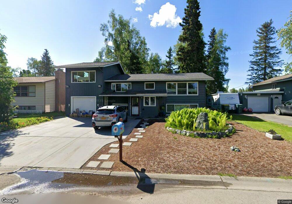
852 Lancaster Dr Anchorage, AK 99503
Spenard NeighborhoodEstimated Value: $272,000 - $408,260
4
Beds
2
Baths
1,256
Sq Ft
$267/Sq Ft
Est. Value
About This Home
This home is located at 852 Lancaster Dr, Anchorage, AK 99503 and is currently estimated at $335,065, approximately $266 per square foot. 852 Lancaster Dr is a home located in Anchorage Municipality with nearby schools including Willow Crest Elementary School, Romig Middle School, and West High School.
Ownership History
Date
Name
Owned For
Owner Type
Purchase Details
Closed on
Aug 14, 1992
Sold by
Satake Koichi and Satake Patricia Hisako
Bought by
Hardcastle Peter K and Hardcastle Dale Rachel
Current Estimated Value
Home Financials for this Owner
Home Financials are based on the most recent Mortgage that was taken out on this home.
Original Mortgage
$86,400
Interest Rate
8.29%
Mortgage Type
New Conventional
Create a Home Valuation Report for This Property
The Home Valuation Report is an in-depth analysis detailing your home's value as well as a comparison with similar homes in the area
Home Values in the Area
Average Home Value in this Area
Purchase History
| Date | Buyer | Sale Price | Title Company |
|---|---|---|---|
| Hardcastle Peter K | -- | -- |
Source: Public Records
Mortgage History
| Date | Status | Borrower | Loan Amount |
|---|---|---|---|
| Closed | Hardcastle Peter K | $86,400 |
Source: Public Records
Tax History
| Year | Tax Paid | Tax Assessment Tax Assessment Total Assessment is a certain percentage of the fair market value that is determined by local assessors to be the total taxable value of land and additions on the property. | Land | Improvement |
|---|---|---|---|---|
| 2025 | $3,040 | $439,200 | $99,600 | $339,600 |
| 2024 | $3,040 | $413,300 | $99,600 | $313,700 |
| 2023 | $2,440 | $368,300 | $99,600 | $268,700 |
| 2022 | $2,779 | $365,000 | $99,600 | $265,400 |
| 2021 | $5,494 | $304,900 | $99,600 | $205,300 |
| 2020 | $1,094 | $265,500 | $99,600 | $165,900 |
| 2019 | $1,068 | $265,300 | $99,600 | $165,700 |
| 2018 | $1,071 | $265,300 | $99,600 | $165,700 |
| 2017 | $1,635 | $274,400 | $99,600 | $174,800 |
| 2016 | $3,405 | $263,700 | $98,100 | $165,600 |
| 2015 | $3,405 | $267,100 | $98,100 | $169,000 |
| 2014 | $3,405 | $250,100 | $98,100 | $152,000 |
Source: Public Records
Map
Nearby Homes
- 817 Shakespeare Cir
- 905 Lancaster Dr
- 4906 Cambridge Way
- 000 Business Park Blvd
- 5303 Eielson St
- 4810 C St
- 4207 Cope St
- 4106 N Star St
- 4113 Cope St
- 4306 Hayes St
- 4300 Hayes St
- 4004 Cope St
- 1808 W 47th Ave
- 4101 Credit Union Dr
- N/A Silverado Tract 2a
- 3901 Hayes St
- 2060 Wenmatt Cir
- 420 E 46th Place
- 2201 W 47th Ave
- 2204 W 46th Ave
- 834 Lancaster Dr
- 872 Lancaster Dr
- 818 Lancaster Dr
- 841 Shakespeare Cir
- 890 Lancaster Dr
- 829 Shakespeare Cir
- 853 Shakespeare Cir
- 4910 Kent St
- 902 Lancaster Dr
- 800 Lancaster Dr
- 811 Lancaster Dr
- 879 Lancaster Dr
- 865 Shakespeare Cir
- 805 Shakespeare Cir
- 889 Lancaster Dr
- 904 Lancaster Dr
- 877 Shakespeare Cir
- 4841 Kent St
- 5004 Anne Hathaway Cir
- 901 Lancaster Dr
Your Personal Tour Guide
Ask me questions while you tour the home.