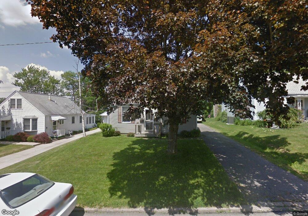
852 Manchester Rd Mansfield, OH 44903
Estimated Value: $129,000 - $137,991
2
Beds
1
Bath
1,100
Sq Ft
$122/Sq Ft
Est. Value
About This Home
This home is located at 852 Manchester Rd, Mansfield, OH 44903 and is currently estimated at $134,248, approximately $122 per square foot. 852 Manchester Rd is a home located in Richland County with nearby schools including Mansfield Elective Academy, Interactive Media & Construction (IMAC) Academy, and Discovery School.
Ownership History
Date
Name
Owned For
Owner Type
Purchase Details
Closed on
Jun 3, 2005
Sold by
King Carole and King Harold
Bought by
Berger Daniel W
Current Estimated Value
Home Financials for this Owner
Home Financials are based on the most recent Mortgage that was taken out on this home.
Original Mortgage
$73,150
Outstanding Balance
$38,557
Interest Rate
5.91%
Mortgage Type
Fannie Mae Freddie Mac
Estimated Equity
$95,691
Purchase Details
Closed on
Nov 17, 2004
Sold by
Benson Robert C and Benson Sharon L
Bought by
King Carole E and King Harold
Create a Home Valuation Report for This Property
The Home Valuation Report is an in-depth analysis detailing your home's value as well as a comparison with similar homes in the area
Home Values in the Area
Average Home Value in this Area
Purchase History
| Date | Buyer | Sale Price | Title Company |
|---|---|---|---|
| Berger Daniel W | $77,000 | Southern Title | |
| King Carole E | $75,000 | Southern Title |
Source: Public Records
Mortgage History
| Date | Status | Borrower | Loan Amount |
|---|---|---|---|
| Open | Berger Daniel W | $73,150 |
Source: Public Records
Tax History Compared to Growth
Tax History
| Year | Tax Paid | Tax Assessment Tax Assessment Total Assessment is a certain percentage of the fair market value that is determined by local assessors to be the total taxable value of land and additions on the property. | Land | Improvement |
|---|---|---|---|---|
| 2024 | $1,355 | $28,940 | $4,450 | $24,490 |
| 2023 | $1,355 | $28,940 | $4,450 | $24,490 |
| 2022 | $1,190 | $21,290 | $3,820 | $17,470 |
| 2021 | $1,198 | $21,290 | $3,820 | $17,470 |
| 2020 | $1,225 | $21,290 | $3,820 | $17,470 |
| 2019 | $1,357 | $21,290 | $3,820 | $17,470 |
| 2018 | $1,339 | $21,290 | $3,820 | $17,470 |
| 2017 | $1,373 | $21,290 | $3,820 | $17,470 |
| 2016 | $1,443 | $22,870 | $5,060 | $17,810 |
| 2015 | $1,443 | $22,870 | $5,060 | $17,810 |
| 2014 | $1,361 | $22,870 | $5,060 | $17,810 |
| 2012 | $519 | $22,880 | $5,330 | $17,550 |
Source: Public Records
Map
Nearby Homes
- 408 Fairlawn Ave
- 679 Coleman Rd
- 191 Fairlawn Ave
- 244 S Trimble Rd Unit 246
- 232 S Trimble Rd Unit 234
- 216 S Trimble Rd Unit 218
- 143 Fairlawn Ave
- 1068 Linwood Place
- 135 Fairlawn Ave
- 129 Fairlawn Ave
- 616 Cline Ave
- 538 Broadview Ave
- 118 Parkwood Blvd
- 142 Grasmere Ave
- 0 Bally Row Unit Lot 22930 223011207
- 0 Bally Row Unit Lot 22929 223011206
- 0 Bally Row Unit Lot 22940 223011208
- 37 S Linden Rd
- 0 Old Mill Run Rd Unit 9067543
- 0 Old Mill Run Rd Unit 9067542
- 844 Manchester Rd
- 858 Manchester Rd
- 840 Manchester Rd
- 866 Manchester Rd
- 834 Manchester Rd
- 857 Manchester Rd
- 890 E Linden Cir
- 872 Manchester Rd
- 0 Manchester Rd 851
- 830 Manchester Rd
- 851 Manchester Rd
- 845 Manchester Rd
- 865 Manchester Rd
- 896 E Linden Cir
- 839 Manchester Rd
- 357 S Linden Rd
- 884 E Linden Cir
- 351 S Linden Rd
- 871 Manchester Rd
- 902 E Linden Cir