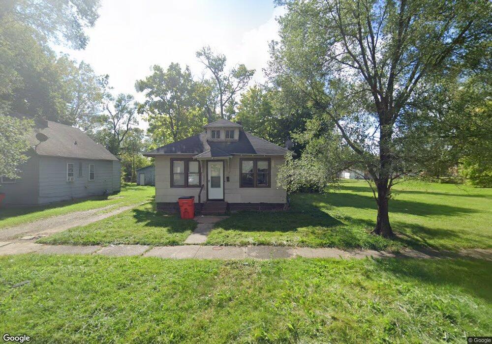
852 Mcguigan Ave Benton Harbor, MI 49022
Estimated Value: $60,000 - $75,041
4
Beds
1
Bath
775
Sq Ft
$86/Sq Ft
Est. Value
About This Home
This home is located at 852 Mcguigan Ave, Benton Harbor, MI 49022 and is currently estimated at $66,347, approximately $85 per square foot. 852 Mcguigan Ave is a home located in Berrien County with nearby schools including Fair Plain Middle School, Benton Harbor High School, and Benton Harbor Charter School Academy.
Ownership History
Date
Name
Owned For
Owner Type
Purchase Details
Closed on
Oct 17, 2011
Sold by
Johnson Willie Lee
Bought by
Boyer Morgan
Current Estimated Value
Purchase Details
Closed on
Aug 16, 2000
Sold by
Bushert Merlin E and Bushert Carol M
Bought by
Johnson Willie Lee
Purchase Details
Closed on
May 17, 2000
Purchase Details
Closed on
Jan 31, 1997
Purchase Details
Closed on
Jan 28, 1995
Purchase Details
Closed on
Oct 7, 1994
Create a Home Valuation Report for This Property
The Home Valuation Report is an in-depth analysis detailing your home's value as well as a comparison with similar homes in the area
Home Values in the Area
Average Home Value in this Area
Purchase History
| Date | Buyer | Sale Price | Title Company |
|---|---|---|---|
| Boyer Morgan | $5,500 | None Available | |
| Johnson Willie Lee | $8,500 | -- | |
| -- | $8,500 | -- | |
| -- | -- | -- | |
| -- | $6,000 | -- | |
| -- | $6,000 | -- | |
| -- | $700 | -- | |
| -- | -- | -- | |
| -- | $700 | -- |
Source: Public Records
Tax History
| Year | Tax Paid | Tax Assessment Tax Assessment Total Assessment is a certain percentage of the fair market value that is determined by local assessors to be the total taxable value of land and additions on the property. | Land | Improvement |
|---|---|---|---|---|
| 2025 | $627 | $23,800 | $0 | $0 |
| 2024 | $603 | $20,500 | $0 | $0 |
| 2023 | $482 | $13,600 | $0 | $0 |
| 2022 | $547 | $9,900 | $0 | $0 |
| 2021 | $551 | $9,700 | $800 | $8,900 |
| 2020 | $544 | $9,700 | $0 | $0 |
| 2019 | $534 | $8,500 | $0 | $0 |
| 2018 | $663 | $9,500 | $0 | $0 |
| 2017 | $658 | $9,600 | $0 | $0 |
| 2016 | $582 | $9,700 | $0 | $0 |
| 2015 | $581 | $9,300 | $0 | $0 |
| 2014 | $707 | $12,700 | $0 | $0 |
Source: Public Records
Map
Nearby Homes
- 710 Buss Ave
- 810 Thresher Ave
- 992 Highland Ave
- 696 Highland Ave
- 561 Heck Ct
- 137 Cornelia St
- 770 Territorial Rd
- 627 E Main St
- 635 E Main St
- 596 Superior St
- 378 Pipestone St
- 363 Brunson Ave
- 730 Superior St
- 410 Division St
- 1053 E Empire Ave
- 490 Territorial Rd
- 520 Broadway
- 380 N Mccord St
- 956 Union Ave
- 739 Dixie Dr
- 860 Mcguigan Ave
- 846 Mcguigan Ave
- 876 Mcguigan Ave
- 838 Mcguigan Ave
- 855 Mcguigan Ave
- 861 Mcguigan Ave
- 875 Mcguigan Ave
- 828 Mcguigan Ave
- 855 Mineral Ave
- 847 Mineral Ave
- 879 Mineral Ave
- 879 Mineral Ave Unit 1
- 839 Mineral Ave
- 874 E Vineyard Ave
- 425 S Seeley St
- 852 E Vineyard Ave
- 844 E Vineyard Ave
- 875 Mineral Ave
- 836 E Vineyard Ave
- 811 Mcguigan Ave
Your Personal Tour Guide
Ask me questions while you tour the home.