852 N Brookshade Pkwy Unit 2 Alpharetta, GA 30004
Estimated Value: $1,166,671 - $1,381,000
4
Beds
4
Baths
3,705
Sq Ft
$345/Sq Ft
Est. Value
About This Home
This home is located at 852 N Brookshade Pkwy Unit 2, Alpharetta, GA 30004 and is currently estimated at $1,277,168, approximately $344 per square foot. 852 N Brookshade Pkwy Unit 2 is a home located in Fulton County with nearby schools including Summit Hill Elementary School, Hopewell Middle School, and Cambridge High School.
Ownership History
Date
Name
Owned For
Owner Type
Purchase Details
Closed on
Jul 22, 2021
Sold by
Miller Margaret W
Bought by
Carter John Wesley and Carter Courtney
Current Estimated Value
Home Financials for this Owner
Home Financials are based on the most recent Mortgage that was taken out on this home.
Original Mortgage
$548,250
Outstanding Balance
$498,209
Interest Rate
3%
Mortgage Type
New Conventional
Estimated Equity
$778,959
Purchase Details
Closed on
Feb 16, 1999
Sold by
Milton Jones Hms Inc
Bought by
Miller Jefferey A and Miller Margaret W
Home Financials for this Owner
Home Financials are based on the most recent Mortgage that was taken out on this home.
Original Mortgage
$379,710
Interest Rate
6.84%
Mortgage Type
New Conventional
Create a Home Valuation Report for This Property
The Home Valuation Report is an in-depth analysis detailing your home's value as well as a comparison with similar homes in the area
Home Values in the Area
Average Home Value in this Area
Purchase History
| Date | Buyer | Sale Price | Title Company |
|---|---|---|---|
| Carter John Wesley | $875,000 | -- | |
| Miller Jefferey A | $421,900 | -- |
Source: Public Records
Mortgage History
| Date | Status | Borrower | Loan Amount |
|---|---|---|---|
| Open | Carter John Wesley | $548,250 | |
| Previous Owner | Miller Jefferey A | $379,710 |
Source: Public Records
Tax History Compared to Growth
Tax History
| Year | Tax Paid | Tax Assessment Tax Assessment Total Assessment is a certain percentage of the fair market value that is determined by local assessors to be the total taxable value of land and additions on the property. | Land | Improvement |
|---|---|---|---|---|
| 2025 | $1,780 | $375,200 | $102,440 | $272,760 |
| 2023 | $11,275 | $399,440 | $102,440 | $297,000 |
| 2022 | $7,786 | $295,920 | $63,600 | $232,320 |
| 2021 | $6,516 | $257,040 | $59,120 | $197,920 |
| 2020 | $6,639 | $259,120 | $48,280 | $210,840 |
| 2019 | $1,192 | $237,400 | $44,600 | $192,800 |
| 2018 | $6,202 | $231,840 | $43,560 | $188,280 |
| 2017 | $6,875 | $247,600 | $47,280 | $200,320 |
| 2016 | $6,922 | $255,480 | $55,520 | $199,960 |
| 2015 | $8,085 | $255,480 | $55,520 | $199,960 |
| 2014 | $6,275 | $217,440 | $40,000 | $177,440 |
Source: Public Records
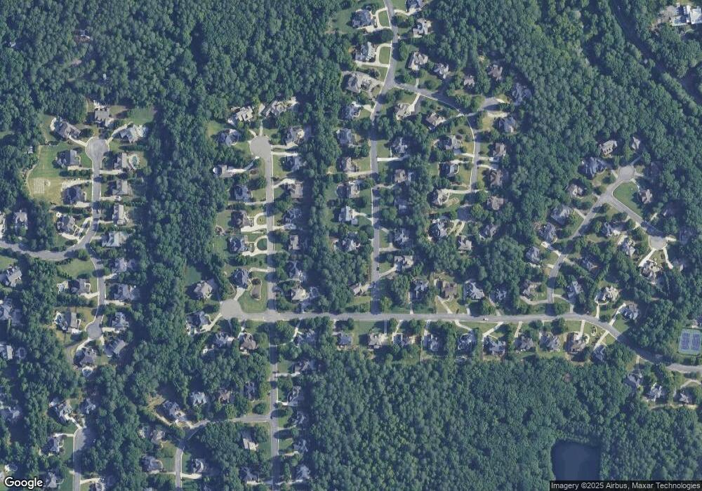
Map
Nearby Homes
- 13365 Hopewell Rd
- 165 Oakhurst Leaf Dr Unit 4
- 2355 Hopewell Plantation Dr Unit 1
- 305 Rhodes Chase Ct
- 2470 Hopewell Plantation Dr
- 406 Woodliff Place
- 4110 Providence Square
- 2215 Traywick Chase
- 2337 Bethany Bend
- 4016 Dover Ave
- 735 Hammock Ln
- 1895 Henley Way
- 115 Baxley Ln
- 3988 Dover Ave Unit 1
- 126 Brindle Ln
- 175 Andover Dr
- 141 North Trace
- 1835 Henley Way
- 2535 Cogburn Ridge Rd
- 862 N Brookshade Pkwy Unit 2
- 842 N Brookshade Pkwy
- 315 Oakhurst Leaf Dr
- 842 N Brookshade Pkwy
- 811 N Brookshade Pkwy
- 305 Oakhurst Leaf Dr
- 0 Oakhurst Leaf Dr Unit 8658027
- 0 Oakhurst Leaf Dr Unit 8656099
- 0 Oakhurst Leaf Dr Unit 8335838
- 0 Oakhurst Leaf Dr Unit 8261820
- 0 Oakhurst Leaf Dr Unit 8246853
- 0 Oakhurst Leaf Dr Unit 8658887
- 0 Oakhurst Leaf Dr Unit 8743737
- 0 Oakhurst Leaf Dr Unit 8807696
- 0 Oakhurst Leaf Dr Unit 7144470
- 0 Oakhurst Leaf Dr Unit 7244994
- 872 N Brookshade Pkwy Unit 2
- 801 N Brookshade Pkwy
- 305 Oakhurst Leaf Dr
- 821 N Brookshade Pkwy Unit 2