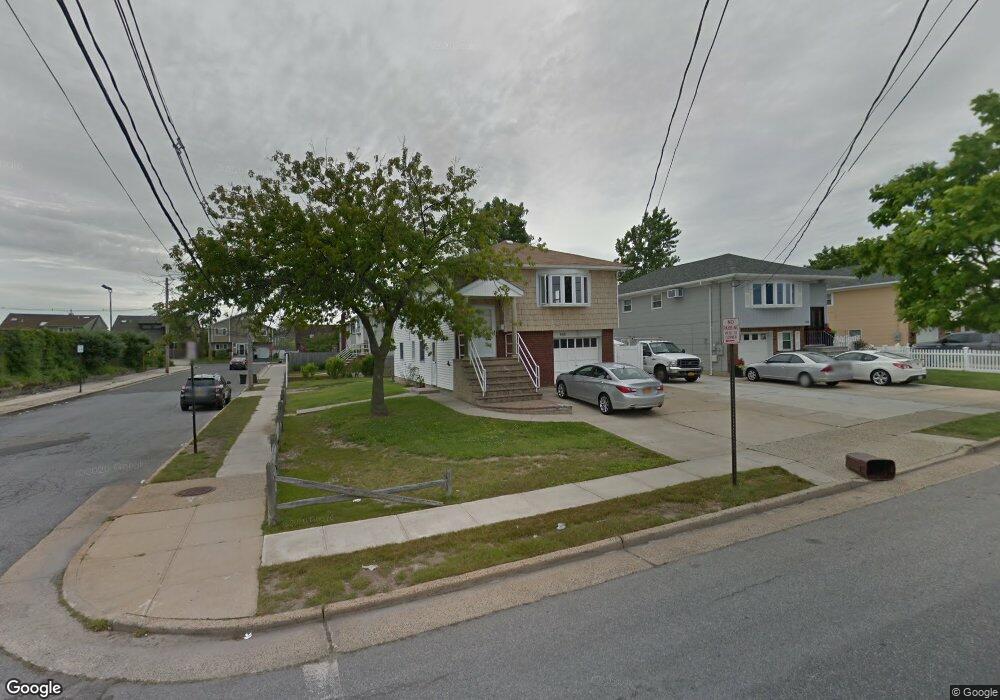
852 S Ocean Ave Freeport, NY 11520
Estimated Value: $496,000 - $606,019
--
Bed
2
Baths
1,068
Sq Ft
$516/Sq Ft
Est. Value
About This Home
This home is located at 852 S Ocean Ave, Freeport, NY 11520 and is currently estimated at $551,010, approximately $515 per square foot. 852 S Ocean Ave is a home located in Nassau County with nearby schools including Columbus Avenue School, Caroline G. Atkinson Intermediate School, and John W Dodd Middle School.
Ownership History
Date
Name
Owned For
Owner Type
Purchase Details
Closed on
Oct 30, 2021
Sold by
Somra Nalini and Somra Ball
Bought by
Somra Nalini
Current Estimated Value
Purchase Details
Closed on
May 18, 2016
Sold by
Mohamed Sheriff
Bought by
Somra Nalini and Somra Ball
Home Financials for this Owner
Home Financials are based on the most recent Mortgage that was taken out on this home.
Original Mortgage
$244,200
Outstanding Balance
$195,719
Interest Rate
3.87%
Mortgage Type
FHA
Estimated Equity
$355,291
Purchase Details
Closed on
Apr 22, 2004
Sold by
Piccinone Zenir
Bought by
Mohamed Sheriff
Create a Home Valuation Report for This Property
The Home Valuation Report is an in-depth analysis detailing your home's value as well as a comparison with similar homes in the area
Home Values in the Area
Average Home Value in this Area
Purchase History
| Date | Buyer | Sale Price | Title Company |
|---|---|---|---|
| Somra Nalini | -- | None Available | |
| Somra Nalini | $300,000 | The Judicial Title Insurance | |
| Mohamed Sheriff | $340,000 | -- |
Source: Public Records
Mortgage History
| Date | Status | Borrower | Loan Amount |
|---|---|---|---|
| Open | Somra Nalini | $244,200 |
Source: Public Records
Tax History Compared to Growth
Tax History
| Year | Tax Paid | Tax Assessment Tax Assessment Total Assessment is a certain percentage of the fair market value that is determined by local assessors to be the total taxable value of land and additions on the property. | Land | Improvement |
|---|---|---|---|---|
| 2025 | $8,323 | $386 | $145 | $241 |
| 2024 | $896 | $386 | $145 | $241 |
| 2023 | $9,167 | $386 | $145 | $241 |
| 2022 | $9,167 | $386 | $145 | $241 |
| 2021 | $14,384 | $370 | $139 | $231 |
| 2020 | $10,768 | $751 | $441 | $310 |
| 2019 | $11,052 | $751 | $441 | $310 |
| 2018 | $10,874 | $751 | $0 | $0 |
| 2017 | $7,638 | $751 | $441 | $310 |
| 2016 | $8,765 | $751 | $441 | $310 |
| 2015 | $1,085 | $751 | $441 | $310 |
| 2014 | $1,085 | $751 | $441 | $310 |
| 2013 | $1,025 | $751 | $441 | $310 |
Source: Public Records
Map
Nearby Homes
- 503 Nassau Ave
- 497 Nassau Ave
- 465 Nassau Ave
- 725 Miller Ave Unit 133
- 725 Miller Ave Unit 137
- 829 S Long Beach Ave
- 883 S Long Beach Ave
- 894 S Long Beach Ave
- 929 S Long Beach Ave
- 7 Howard Ave
- 744 S Long Beach Ave
- 44 Tyler St
- 525 Miller Ave
- 57 Hubbard Ave
- 68 Tyler St
- 74 Tyler St
- 11 Overton St
- 62 Grant St
- 644 Guy Lombardo Ave
- 479 Roosevelt Ave
- 848 S Ocean Ave
- 48 Manhattan St
- 844 S Ocean Ave
- 681 Miller Ave
- 838 S Ocean Ave
- 675 Miller Ave
- 671 Miller Ave
- 832 S Ocean Ave
- 828 S Ocean Ave
- 340 Woodcleft Ave
- 659 Miller Ave
- 692 Miller Ave
- 684 Miller Ave
- 696 Miller Ave
- 674 Miller Ave
- 698 Miller Ave
- 655 Miller Ave
- 700 Miller Ave
- 668 Miller Ave
- 704 Miller Ave