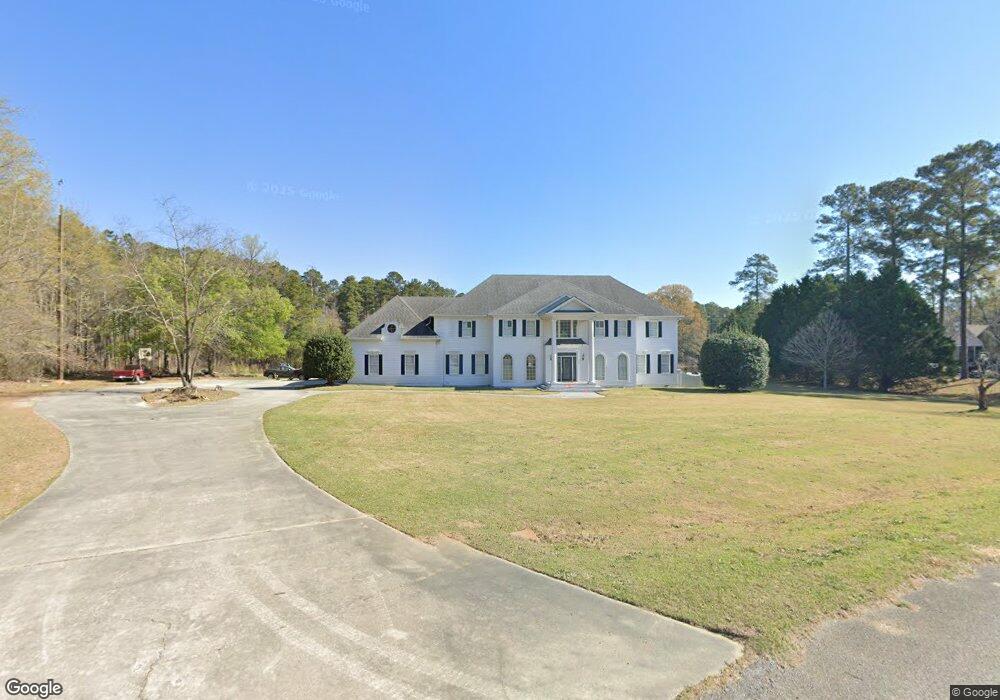
8520 Ashton Dr Laurinburg, NC 28352
Estimated Value: $424,000 - $862,000
4
Beds
5
Baths
5,172
Sq Ft
$123/Sq Ft
Est. Value
About This Home
This home is located at 8520 Ashton Dr, Laurinburg, NC 28352 and is currently estimated at $635,184, approximately $122 per square foot. 8520 Ashton Dr is a home located in Scotland County with nearby schools including South Scotland Elementary, Scotland High School, and Destiny Christian School.
Ownership History
Date
Name
Owned For
Owner Type
Purchase Details
Closed on
Oct 28, 2010
Sold by
Communityone Bank Na
Bought by
Mcrae Clinton A and Mcrae Kimberly R
Current Estimated Value
Home Financials for this Owner
Home Financials are based on the most recent Mortgage that was taken out on this home.
Original Mortgage
$303,300
Outstanding Balance
$201,232
Interest Rate
4.38%
Mortgage Type
New Conventional
Estimated Equity
$433,952
Create a Home Valuation Report for This Property
The Home Valuation Report is an in-depth analysis detailing your home's value as well as a comparison with similar homes in the area
Home Values in the Area
Average Home Value in this Area
Purchase History
| Date | Buyer | Sale Price | Title Company |
|---|---|---|---|
| Mcrae Clinton A | $337,000 | None Available |
Source: Public Records
Mortgage History
| Date | Status | Borrower | Loan Amount |
|---|---|---|---|
| Open | Mcrae Clinton A | $303,300 |
Source: Public Records
Tax History Compared to Growth
Tax History
| Year | Tax Paid | Tax Assessment Tax Assessment Total Assessment is a certain percentage of the fair market value that is determined by local assessors to be the total taxable value of land and additions on the property. | Land | Improvement |
|---|---|---|---|---|
| 2025 | $4,491 | $423,650 | $48,000 | $375,650 |
| 2024 | $4,447 | $423,650 | $48,000 | $375,650 |
| 2023 | $4,491 | $423,650 | $48,000 | $375,650 |
| 2022 | $4,491 | $423,650 | $48,000 | $375,650 |
| 2021 | $4,533 | $423,650 | $48,000 | $375,650 |
| 2020 | $4,489 | $423,650 | $48,000 | $375,650 |
| 2019 | $4,533 | $423,650 | $48,000 | $375,650 |
| 2018 | $4,769 | $446,090 | $48,000 | $398,090 |
| 2017 | $4,814 | $446,090 | $48,000 | $398,090 |
| 2016 | $4,858 | $446,090 | $48,000 | $398,090 |
| 2015 | $4,903 | $446,090 | $48,000 | $398,090 |
| 2014 | $4,818 | $0 | $0 | $0 |
Source: Public Records
Map
Nearby Homes
- 9409 Mcqueen Rd
- 0 Johns Unit 100524809
- 9141 Hasty Rd
- 9167 Hasty Rd
- Tr #2 Mcqueen
- 53&55 Old Maxton Rd
- 11220 Taylor Rd
- 53 Barnes Bridge
- 11102 Old Johns Rd
- 12480 Muirfield Dr
- 0 Muirfield Dr
- 6580 Hasty Rd
- 9681 Deerfield Cir
- 9260 Mcleod Rd
- 9361 Mcleod Rd
- 001 Stewartsville Cemetary
- 041 Stewartsville Cemetary
- 0000 Stewartsville Cemetery Rd
- 11661 Azalea Dr
- 11760 Azalea Dr
- 8540 Ashton Dr
- 0 Tbd Ashton
- 8560 Ashton Dr
- 13 Ashton Dr
- 14 Ashton Dr
- 8680 Ashton Dr
- 8600 Ashton Dr
- 8743 Ashton Dr
- 8620 Ashton Dr
- 15661 Jerusalem Rd
- 15860 Jerusalem Rd
- 15300 Jerusalem Rd
- 9060 Mcqueen Rd
- 15960 Jerusalem Rd
- 15321 Jerusalem Rd
- 16481 Bridge Creek Dr
- 8967 Mcqueen Rd
- 15261 Jerusalem Rd
- 8980 Mcqueen Rd
- 16420 Bridge Creek Dr