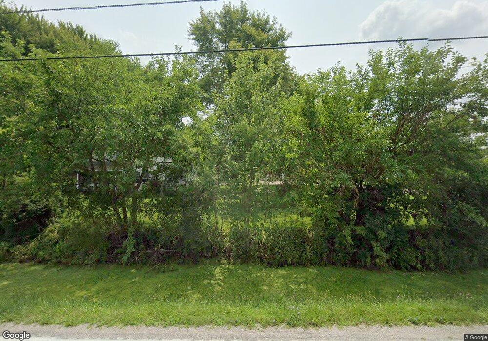
8520 Cedar Point Rd Oregon, OH 43616
Estimated Value: $247,000 - $607,000
5
Beds
2
Baths
2,250
Sq Ft
$174/Sq Ft
Est. Value
About This Home
This home is located at 8520 Cedar Point Rd, Oregon, OH 43616 and is currently estimated at $390,865, approximately $173 per square foot. 8520 Cedar Point Rd is a home located in Lucas County.
Ownership History
Date
Name
Owned For
Owner Type
Purchase Details
Closed on
Apr 26, 2021
Sold by
Mitchell-Ansell Bonnie S and Ansell Jeffrey S
Bought by
Mitchell-Ansell Bonnie S and Ansell Jeffrey S
Current Estimated Value
Home Financials for this Owner
Home Financials are based on the most recent Mortgage that was taken out on this home.
Original Mortgage
$141,000
Outstanding Balance
$104,610
Interest Rate
2.4%
Mortgage Type
New Conventional
Estimated Equity
$286,255
Purchase Details
Closed on
Apr 7, 2008
Sold by
Aegis Mortgage Corp
Bought by
Mitchell Bonnie
Home Financials for this Owner
Home Financials are based on the most recent Mortgage that was taken out on this home.
Original Mortgage
$110,585
Interest Rate
6.09%
Mortgage Type
Unknown
Purchase Details
Closed on
Jun 14, 2007
Sold by
St John Matthew J and St John Jennifer K
Bought by
Aegis Mortgage Corp
Purchase Details
Closed on
Sep 11, 1995
Sold by
Raymond P St John
Bought by
Matthew J & Jennifer K St John
Home Financials for this Owner
Home Financials are based on the most recent Mortgage that was taken out on this home.
Original Mortgage
$48,000
Interest Rate
8.25%
Mortgage Type
New Conventional
Create a Home Valuation Report for This Property
The Home Valuation Report is an in-depth analysis detailing your home's value as well as a comparison with similar homes in the area
Purchase History
| Date | Buyer | Sale Price | Title Company |
|---|---|---|---|
| Mitchell-Ansell Bonnie S | -- | First American Title | |
| Mitchell Bonnie | $130,100 | Titlequest Agency Inc | |
| Aegis Mortgage Corp | $124,000 | American 1St | |
| Matthew J & Jennifer K St John | $60,000 | -- |
Source: Public Records
Mortgage History
| Date | Status | Borrower | Loan Amount |
|---|---|---|---|
| Open | Mitchell-Ansell Bonnie S | $141,000 | |
| Previous Owner | Mitchell Bonnie | $110,585 | |
| Previous Owner | Matthew J & Jennifer K St John | $48,000 |
Source: Public Records
Tax History Compared to Growth
Tax History
| Year | Tax Paid | Tax Assessment Tax Assessment Total Assessment is a certain percentage of the fair market value that is determined by local assessors to be the total taxable value of land and additions on the property. | Land | Improvement |
|---|---|---|---|---|
| 2025 | -- | $153,825 | $28,385 | $125,440 |
| 2024 | $4,160 | $153,825 | $28,385 | $125,440 |
| 2023 | $4,501 | $68,845 | $16,205 | $52,640 |
| 2022 | $4,491 | $68,845 | $16,205 | $52,640 |
| 2021 | $4,518 | $68,845 | $16,205 | $52,640 |
| 2020 | $4,114 | $57,085 | $13,370 | $43,715 |
| 2019 | $3,925 | $57,085 | $13,370 | $43,715 |
| 2018 | $3,725 | $57,085 | $13,370 | $43,715 |
| 2017 | $3,604 | $49,490 | $11,585 | $37,905 |
| 2016 | $3,562 | $141,400 | $33,100 | $108,300 |
| 2015 | $3,541 | $141,400 | $33,100 | $108,300 |
| 2014 | $3,307 | $49,500 | $11,590 | $37,910 |
| 2013 | $3,307 | $49,500 | $11,590 | $37,910 |
Source: Public Records
Map
Nearby Homes
- 1031 N Cousino Rd
- 9015 Seaman Rd
- 445 S Yondota Rd
- 6530 Corduroy Rd
- 6645 Seaman Rd
- 7330 Jerusalem Rd
- 2057 Blanche Dr
- 1139 N Stadium Rd
- 1561 N Stadium Rd
- 549 Beachview Rd
- 5560 Eagles Landing Dr
- 645 Clubhouse Rd
- 180 S Stadium Rd
- 405 Lakemore Rd
- 5524 Eagles Landing Dr
- 5281 Eagles Landing Dr
- 5313 Eagles Landing Dr
- 5548 Eagles Landing Dr
- 5514 Eagles Landing Dr
- 5467 Seaman Rd
- 8504 Cedar Point Rd
- 8620 Cedar Point Rd
- 8614 Cedar Point Rd
- 8456 Cedar Point Rd
- 8542 Cedar Point Rd
- 8570 Cedar Point Rd
- 8430 Cedar Point Rd
- 8410 Cedar Point Rd
- 8720 Cedar Point Rd
- 8640 Cedar Point Rd
- 8534 Cedar Point Rd
- 8404 Cedar Point Rd
- 8750 Cedar Point Rd
- 8344 Cedar Point Rd
- 8330 Cedar Point Rd
- 8770 Cedar Point Rd
- 8760 Cedar Point Rd
- 8321 Cedar Point Rd
- 8304 Cedar Point Rd
- 8246 Cedar Point Rd
