8520 Driver Cir Alpharetta, GA 30022
Rivermont NeighborhoodEstimated Value: $669,696 - $719,000
5
Beds
4
Baths
3,582
Sq Ft
$194/Sq Ft
Est. Value
About This Home
This home is located at 8520 Driver Cir, Alpharetta, GA 30022 and is currently estimated at $693,924, approximately $193 per square foot. 8520 Driver Cir is a home located in Fulton County with nearby schools including Barnwell Elementary School, Haynes Bridge Middle School, and Centennial High School.
Ownership History
Date
Name
Owned For
Owner Type
Purchase Details
Closed on
Nov 13, 1998
Sold by
Carson Craig and Carson Cynthia
Bought by
Ryf Steven R and Ryf Marcia J
Current Estimated Value
Home Financials for this Owner
Home Financials are based on the most recent Mortgage that was taken out on this home.
Original Mortgage
$284,000
Outstanding Balance
$61,337
Interest Rate
6.47%
Mortgage Type
New Conventional
Estimated Equity
$632,587
Create a Home Valuation Report for This Property
The Home Valuation Report is an in-depth analysis detailing your home's value as well as a comparison with similar homes in the area
Home Values in the Area
Average Home Value in this Area
Purchase History
| Date | Buyer | Sale Price | Title Company |
|---|---|---|---|
| Ryf Steven R | $360,000 | -- |
Source: Public Records
Mortgage History
| Date | Status | Borrower | Loan Amount |
|---|---|---|---|
| Open | Ryf Steven R | $284,000 |
Source: Public Records
Tax History Compared to Growth
Tax History
| Year | Tax Paid | Tax Assessment Tax Assessment Total Assessment is a certain percentage of the fair market value that is determined by local assessors to be the total taxable value of land and additions on the property. | Land | Improvement |
|---|---|---|---|---|
| 2025 | $5,276 | $212,000 | $73,080 | $138,920 |
| 2023 | $6,359 | $225,280 | $73,080 | $152,200 |
| 2022 | $4,998 | $191,560 | $33,160 | $158,400 |
| 2021 | $4,971 | $186,000 | $32,200 | $153,800 |
| 2020 | $4,975 | $180,000 | $35,840 | $144,160 |
| 2019 | $576 | $180,000 | $35,840 | $144,160 |
| 2018 | $4,520 | $184,480 | $35,840 | $148,640 |
| 2017 | $4,727 | $151,040 | $32,280 | $118,760 |
| 2016 | $4,650 | $151,040 | $32,280 | $118,760 |
| 2015 | $3,422 | $157,320 | $32,280 | $125,040 |
| 2014 | $3,537 | $113,320 | $22,080 | $91,240 |
Source: Public Records
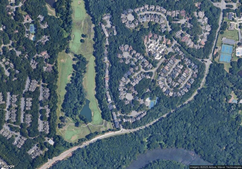
Map
Nearby Homes
- 0 Niblick Dr Unit 7655286
- 225 Brassy Ct
- 180 Colony Ridge Dr
- 765 Olde Clubs Dr
- 102 Hawkstone Way
- 712 Cypress Pointe St
- 703 Cypress Pointe St Unit 123
- 606 Cypress Pointe St
- 1106 Sandy Lane Dr Unit 206
- 1019 Sandy Lane Dr
- 420 Sandwedge Ln
- 1003 Sandy Lane Dr
- 917 Wentworth Ct
- 909 Wentworth Ct
- 530 Matterhorn Way
- 0 Spyglass Bluff Unit 7666454
- 0 Spyglass Bluff Unit 10628282
- 98 Holly Isles-Harvel Pond Rd
- 8510 Driver Cir
- 8530 Driver Cir
- 8500 Driver Cir
- 8540 Driver Cir
- 0 Niblick Dr Unit 7599110
- 0 Niblick Dr Unit 10387027
- 0 Niblick Dr Unit 7464134
- 0 Niblick Dr Unit 10354499
- 0 Niblick Dr Unit 10337782
- 0 Niblick Dr Unit 10291017
- 0 Niblick Dr Unit 10280468
- 0 Niblick Dr Unit 10261098
- 0 Niblick Dr Unit 10249379
- 0 Niblick Dr Unit 10239301
- 0 Niblick Dr Unit 3228837
- 0 Niblick Dr Unit 10007298
- 0 Niblick Dr Unit 8538129
- 0 Niblick Dr Unit 3155754
- 0 Niblick Dr Unit 8162259
- 0 Niblick Dr Unit 7442912