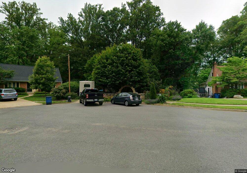
8520 Durham Ct Springfield, VA 22151
Estimated Value: $685,000 - $736,000
4
Beds
4
Baths
1,500
Sq Ft
$478/Sq Ft
Est. Value
About This Home
This home is located at 8520 Durham Ct, Springfield, VA 22151 and is currently estimated at $717,483, approximately $478 per square foot. 8520 Durham Ct is a home located in Fairfax County with nearby schools including Kings Park Elementary School, Kings Glen Elementary School, and Lake Braddock Secondary School.
Ownership History
Date
Name
Owned For
Owner Type
Purchase Details
Closed on
Jul 1, 2004
Sold by
Fawsett Edward H
Bought by
Cronin Matthew A
Current Estimated Value
Home Financials for this Owner
Home Financials are based on the most recent Mortgage that was taken out on this home.
Original Mortgage
$316,800
Outstanding Balance
$159,096
Interest Rate
6.3%
Mortgage Type
New Conventional
Estimated Equity
$558,387
Create a Home Valuation Report for This Property
The Home Valuation Report is an in-depth analysis detailing your home's value as well as a comparison with similar homes in the area
Home Values in the Area
Average Home Value in this Area
Purchase History
| Date | Buyer | Sale Price | Title Company |
|---|---|---|---|
| Cronin Matthew A | $396,000 | -- |
Source: Public Records
Mortgage History
| Date | Status | Borrower | Loan Amount |
|---|---|---|---|
| Open | Cronin Matthew A | $316,800 |
Source: Public Records
Tax History
| Year | Tax Paid | Tax Assessment Tax Assessment Total Assessment is a certain percentage of the fair market value that is determined by local assessors to be the total taxable value of land and additions on the property. | Land | Improvement |
|---|---|---|---|---|
| 2025 | $7,804 | $740,270 | $313,000 | $427,270 |
| 2024 | $7,804 | $673,620 | $278,000 | $395,620 |
| 2023 | $7,340 | $650,440 | $278,000 | $372,440 |
| 2022 | $7,069 | $618,190 | $273,000 | $345,190 |
| 2021 | $6,455 | $550,100 | $243,000 | $307,100 |
| 2020 | $6,246 | $527,720 | $238,000 | $289,720 |
| 2019 | $6,019 | $508,580 | $230,000 | $278,580 |
| 2018 | $5,630 | $489,580 | $211,000 | $278,580 |
| 2017 | $5,521 | $475,580 | $197,000 | $278,580 |
| 2016 | $5,510 | $475,580 | $197,000 | $278,580 |
Source: Public Records
Map
Nearby Homes
- 5401 Southampton Dr
- 8434 Thames St
- 8806 Cromwell Dr
- 8802 Parliament Dr
- 5506 Kempton Dr
- 8816 Victoria Rd
- 5519 Yorkshire St
- 5624 Kirkham Ct
- 5672 Kirkham Ct
- 8933 Burke Lake Rd
- 5613 Eastbourne Dr
- 5004 Prince Caspian Ln
- 8318 Uxbridge Ct
- 8513 Braeburn Dr
- 4824 Holborn Ave
- 4901 Red Fox Dr
- 4815 Wakefield Chapel Rd
- 8110 Carrick Ln
- 5812 Royal Ridge Dr Unit C
- 8942 Kenilworth Dr
Your Personal Tour Guide
Ask me questions while you tour the home.