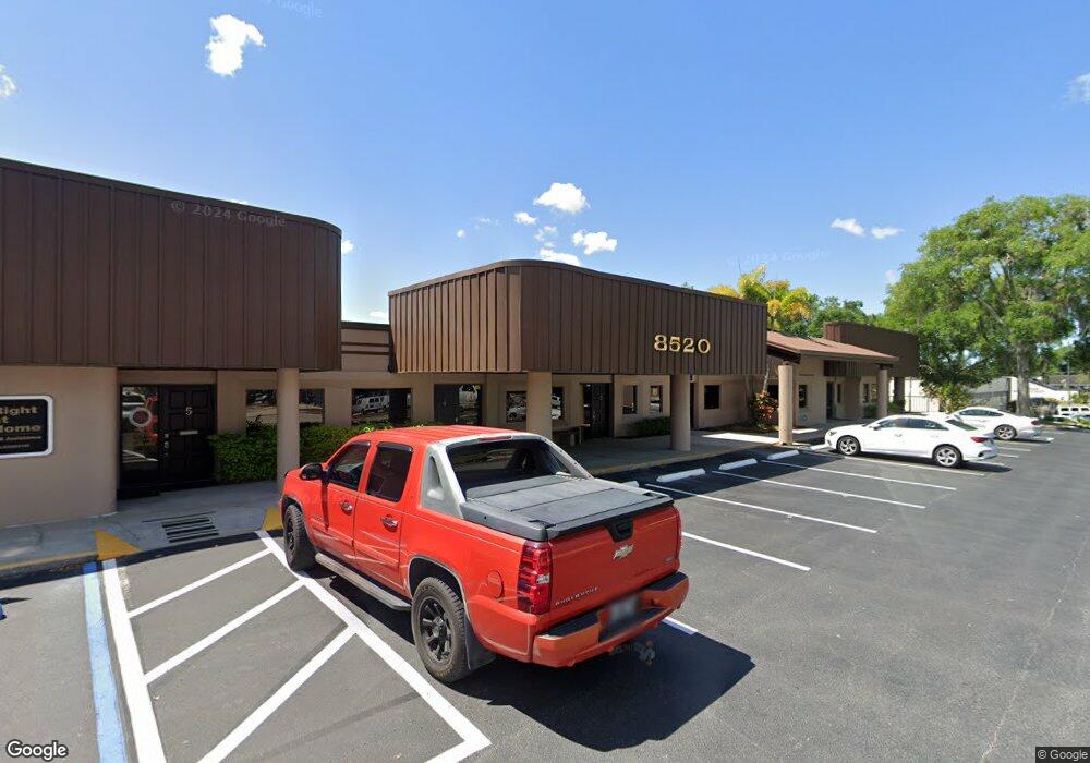
8520 Government Dr Unit 5 New Port Richey, FL 34654
Seven Springs NeighborhoodEstimated Value: $122,000 - $141,319
2
Beds
2
Baths
916
Sq Ft
$146/Sq Ft
Est. Value
About This Home
This home is located at 8520 Government Dr Unit 5, New Port Richey, FL 34654 and is currently estimated at $133,773, approximately $146 per square foot. 8520 Government Dr Unit 5 is a home located in Pasco County with nearby schools including Cypress Elementary School, River Ridge High School, and River Ridge Middle School.
Ownership History
Date
Name
Owned For
Owner Type
Purchase Details
Closed on
Mar 24, 2020
Sold by
Moreland Debra L
Bought by
P L Real Estate Llc
Current Estimated Value
Home Financials for this Owner
Home Financials are based on the most recent Mortgage that was taken out on this home.
Original Mortgage
$99,833
Outstanding Balance
$88,248
Interest Rate
3.4%
Mortgage Type
Unknown
Estimated Equity
$45,525
Create a Home Valuation Report for This Property
The Home Valuation Report is an in-depth analysis detailing your home's value as well as a comparison with similar homes in the area
Home Values in the Area
Average Home Value in this Area
Purchase History
| Date | Buyer | Sale Price | Title Company |
|---|---|---|---|
| P L Real Estate Llc | $115,000 | Total Title Solutions |
Source: Public Records
Mortgage History
| Date | Status | Borrower | Loan Amount |
|---|---|---|---|
| Open | P L Real Estate Llc | $99,833 |
Source: Public Records
Tax History Compared to Growth
Tax History
| Year | Tax Paid | Tax Assessment Tax Assessment Total Assessment is a certain percentage of the fair market value that is determined by local assessors to be the total taxable value of land and additions on the property. | Land | Improvement |
|---|---|---|---|---|
| 2025 | $1,655 | $88,984 | $7,056 | $81,928 |
| 2024 | $1,655 | $92,042 | $7,056 | $84,986 |
| 2023 | $1,700 | $95,099 | $7,056 | $88,043 |
| 2022 | $1,580 | $94,668 | $7,056 | $87,612 |
| 2021 | $1,651 | $97,608 | $7,056 | $90,552 |
| 2020 | $1,319 | $88,121 | $7,056 | $81,065 |
| 2019 | $1,271 | $88,122 | $7,056 | $81,066 |
| 2018 | $1,032 | $57,875 | $7,056 | $50,819 |
| 2017 | $1,063 | $58,628 | $7,056 | $51,572 |
| 2016 | $982 | $55,230 | $7,056 | $48,174 |
| 2015 | $1,013 | $55,922 | $7,056 | $48,866 |
| 2014 | $975 | $56,615 | $7,056 | $49,559 |
Source: Public Records
Map
Nearby Homes
- 8405 Blue Rock Dr
- 7510 Red Mill Cir
- 7544 Red Mill Cir
- 7650 Red Mill Cir
- 8524 Corinthian Way
- 8512 Corinthian Way
- 8546 Corinthian Way
- 7406 Gettysburg Dr
- 8210 Mill Springs Dr
- 7233 Knoll Dr
- 8147 Mill Springs Dr
- 8128 Bull Run Dr
- 8122 Bull Run Dr
- 8204 Monitor Dr
- 8153 Monitor Dr
- 8117 Mill Springs Dr
- 8105 Cedar Creek Dr
- 8100 Cedar Creek Dr Unit 89
- 8050 Cedar Creek Dr
- 7826 Kinross Dr
- 8520 Government Dr Unit 1
- 7324 Little Rd
- 7509 Little Rd
- 8427 Blue Rock Dr
- 8427 Blue Rock Dr Unit 83
- 8425 Blue Rock Dr
- 8425 Blue Rock Dr Unit n/a
- 8423 Blue Rock Dr
- 8421 Blue Rock Dr
- 8421 Blue Rock Dr
- 8419 Blue Rock Dr
- 8417 Blue Rock Dr
- 8415 Blue Rock Dr
- 8415 Blue Rock Dr Unit 77
- 8413 Blue Rock Dr
- 8413 Blue Rock Dr Unit 76
- 8411 Blue Rock Dr
- 8411 Blue Rock Dr Unit 78
- 7511 Little Rd
- 8416 Blue Rock Dr