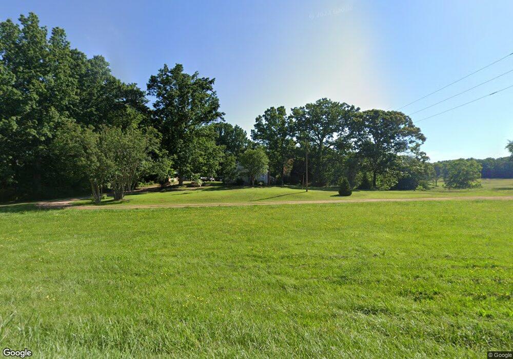
8520 Parris Bridge Rd Chesnee, SC 29323
Estimated Value: $117,777 - $275,000
3
Beds
1
Bath
924
Sq Ft
$217/Sq Ft
Est. Value
About This Home
This home is located at 8520 Parris Bridge Rd, Chesnee, SC 29323 and is currently estimated at $200,592, approximately $217 per square foot. 8520 Parris Bridge Rd is a home located in Spartanburg County with nearby schools including Chesnee Elementary School, Chesnee Middle School, and Chesnee High School.
Ownership History
Date
Name
Owned For
Owner Type
Purchase Details
Closed on
May 16, 2012
Sold by
Presnell Kenneth Dean
Bought by
Rhinehart Michael and Rhinehart Lynne
Current Estimated Value
Purchase Details
Closed on
Aug 22, 2008
Sold by
Shields Reginald
Bought by
Shields Nathaniel and Shields Peggy S
Purchase Details
Closed on
Aug 16, 2006
Sold by
Shields Peggy S and Shields Reginald
Bought by
Shields Nathaniel
Create a Home Valuation Report for This Property
The Home Valuation Report is an in-depth analysis detailing your home's value as well as a comparison with similar homes in the area
Home Values in the Area
Average Home Value in this Area
Purchase History
| Date | Buyer | Sale Price | Title Company |
|---|---|---|---|
| Rhinehart Michael | $8,000 | -- | |
| Shields Nathaniel | -- | -- | |
| Shields Nathaniel | -- | None Available | |
| Shields Mark | -- | None Available | |
| Shields Nathaniel | -- | None Available |
Source: Public Records
Tax History Compared to Growth
Tax History
| Year | Tax Paid | Tax Assessment Tax Assessment Total Assessment is a certain percentage of the fair market value that is determined by local assessors to be the total taxable value of land and additions on the property. | Land | Improvement |
|---|---|---|---|---|
| 2025 | $502 | $2,864 | $1,172 | $1,692 |
| 2024 | $502 | $2,864 | $1,172 | $1,692 |
| 2023 | $502 | $2,466 | $1,009 | $1,457 |
| 2022 | $86 | $2,144 | $812 | $1,332 |
| 2021 | $86 | $2,144 | $812 | $1,332 |
| 2020 | $79 | $2,144 | $812 | $1,332 |
| 2019 | $79 | $2,144 | $812 | $1,332 |
| 2018 | $78 | $2,144 | $812 | $1,332 |
| 2017 | $57 | $1,964 | $780 | $1,184 |
| 2016 | $57 | $1,964 | $780 | $1,184 |
| 2015 | $52 | $1,964 | $780 | $1,184 |
| 2014 | $47 | $1,964 | $780 | $1,184 |
Source: Public Records
Map
Nearby Homes
- 550 Harris Rd
- 202 Arrowood Branch Rd
- 291 Robbins Rd
- 301 Robbins Rd
- 00 Lail Rd
- 73 Pond View Ln Unit 66
- 73 Pond View Ln
- 950 Robbins Rd
- 533 State Road S-42-1879
- 537 State Road S-42-1879
- 545 State Road S-42-1879
- 333 Mcswain Rd
- 0 Cantrell Dr
- 565 State Road S-42-1879
- 569 State Road S-42-1879
- 0 Big Island Rd Unit 23524113
- 00 Petite Ct
- 0 Hudson Dr Unit 55 CAR4215080
- 4086 Big Island Rd
- 4035 Big Island Rd
- 8536 Parris Bridge Rd
- 8569 Parris Bridge Rd
- 8531 Parris Bridge Rd
- 8507 Parris Bridge Rd
- 8510 Parris Bridge Rd
- 8499 Parris Bridge Rd
- 8469 Parris Bridge Rd
- 8589 Parris Bridge Rd
- 8461 Parris Bridge Rd
- 8454 Parris Bridge Rd
- 190 Folk Rd
- 109 Folk Rd
- 145 Folk Rd
- 130 Sanders Rd
- 8408 Parris Bridge Rd
- 199A Folk Rd
- 141 Sanders Rd
- 8455 Parris Bridge Rd
- 149 Sanders Rd
- 8410 Parris Bridge Rd