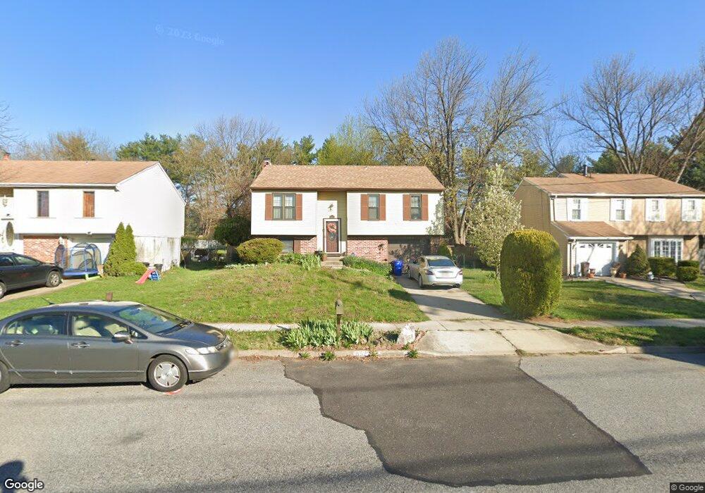
8521 Wyndam Rd Pennsauken, NJ 08109
Estimated Value: $309,000 - $379,000
--
Bed
--
Bath
1,500
Sq Ft
$232/Sq Ft
Est. Value
About This Home
This home is located at 8521 Wyndam Rd, Pennsauken, NJ 08109 and is currently estimated at $348,673, approximately $232 per square foot. 8521 Wyndam Rd is a home located in Camden County with nearby schools including Pennsauken High School and St. Cecilia School.
Ownership History
Date
Name
Owned For
Owner Type
Purchase Details
Closed on
Dec 4, 2023
Sold by
Sherry Patti Rene
Bought by
Holmes Matthew L
Current Estimated Value
Home Financials for this Owner
Home Financials are based on the most recent Mortgage that was taken out on this home.
Original Mortgage
$270,000
Outstanding Balance
$265,737
Interest Rate
7.76%
Mortgage Type
VA
Estimated Equity
$82,936
Purchase Details
Closed on
Feb 20, 1985
Bought by
Keegan Patti R
Create a Home Valuation Report for This Property
The Home Valuation Report is an in-depth analysis detailing your home's value as well as a comparison with similar homes in the area
Home Values in the Area
Average Home Value in this Area
Purchase History
| Date | Buyer | Sale Price | Title Company |
|---|---|---|---|
| Holmes Matthew L | $270,000 | Brennan Title Abstract | |
| Keegan Patti R | $6,800 | -- |
Source: Public Records
Mortgage History
| Date | Status | Borrower | Loan Amount |
|---|---|---|---|
| Open | Holmes Matthew L | $270,000 |
Source: Public Records
Tax History Compared to Growth
Tax History
| Year | Tax Paid | Tax Assessment Tax Assessment Total Assessment is a certain percentage of the fair market value that is determined by local assessors to be the total taxable value of land and additions on the property. | Land | Improvement |
|---|---|---|---|---|
| 2025 | $7,307 | $290,400 | $63,400 | $227,000 |
| 2024 | $7,166 | $167,900 | $55,100 | $112,800 |
| 2023 | $7,166 | $167,900 | $55,100 | $112,800 |
| 2022 | $6,479 | $167,900 | $55,100 | $112,800 |
| 2021 | $6,543 | $167,900 | $55,100 | $112,800 |
| 2020 | $5,960 | $167,900 | $55,100 | $112,800 |
| 2019 | $6,029 | $167,900 | $55,100 | $112,800 |
| 2018 | $6,061 | $167,900 | $55,100 | $112,800 |
| 2017 | $6,073 | $167,900 | $55,100 | $112,800 |
| 2016 | $5,964 | $167,900 | $55,100 | $112,800 |
| 2015 | $6,142 | $167,900 | $55,100 | $112,800 |
| 2014 | $6,246 | $112,300 | $28,300 | $84,000 |
Source: Public Records
Map
Nearby Homes
- 2644 Powell Ave
- 2905 Powell Ave
- 2410 Shelley Ln
- 3007 Haddonfield Rd
- 2617 Hadley Dr
- 2543 Burning Tree Rd
- 7515 Baxter Ave
- 5 Kohlmyer Dr
- 7713 Piersanti Ct
- 7750 Hesson Ln
- 3002 Gladwyn Ave
- 21 Kohlmyer Dr
- 641 N Coles Ave
- 2603 Manall Ave
- 7911 Park Ave
- 7418 Harvey Ave
- 8760 Stockton Ave
- 3221 Union Ave
- 2602 Foehl Ave
- 8331 Stockton Ave
- 8501 Wyndam Rd
- 8541 Wyndam Rd
- 8481 Wyndam Rd
- 8561 Wyndam Rd
- 8461 Wyndam Rd
- 8581 Wyndam Rd
- 8500 Wyndam Rd
- 8480 Wyndam Rd
- 8520 Wyndam Rd
- 8421 Wyndam Rd
- 8440 Wyndam Rd
- 8540 Wyndam Rd
- 8601 Wyndam Rd
- 8125 Horseshoe Ct
- 8560 Wyndam Rd
- 8420 Wyndam Rd
- 8621 Wyndam Rd
- 8401 Wyndam Rd
- 8117 Horseshoe Ct
- 8580 Wyndam Rd