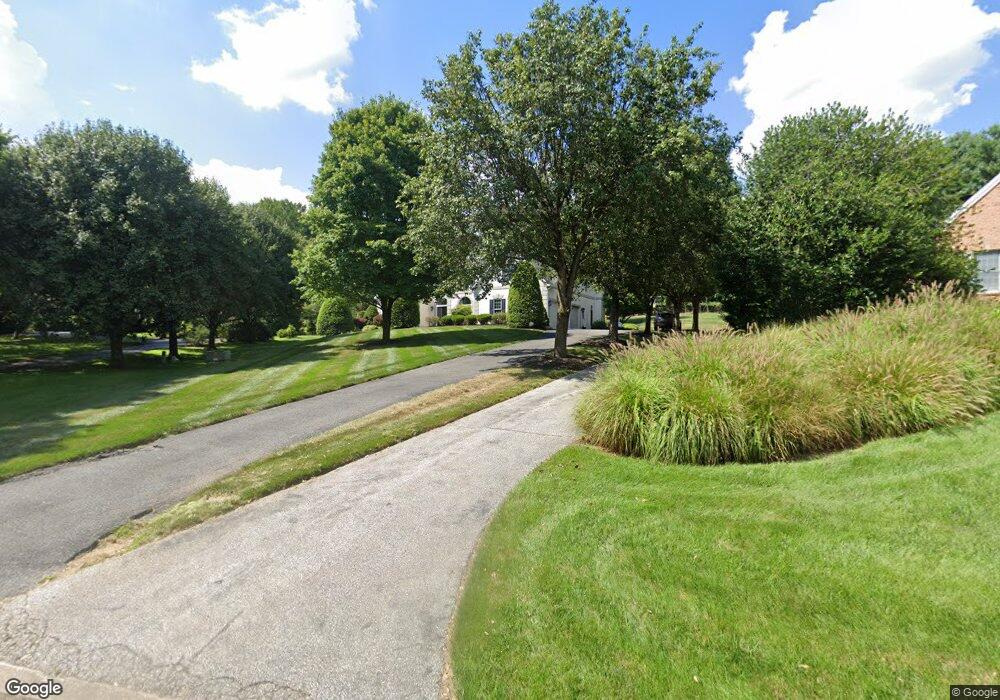
8526 Huntspring Dr Lutherville Timonium, MD 21093
Estimated Value: $1,165,000 - $1,543,000
--
Bed
5
Baths
5,336
Sq Ft
$255/Sq Ft
Est. Value
About This Home
This home is located at 8526 Huntspring Dr, Lutherville Timonium, MD 21093 and is currently estimated at $1,358,815, approximately $254 per square foot. 8526 Huntspring Dr is a home located in Baltimore County with nearby schools including Riderwood Elementary School, Ridgely Middle, and Dulaney High School.
Ownership History
Date
Name
Owned For
Owner Type
Purchase Details
Closed on
Jun 2, 2025
Sold by
Lala Ramadan M and Lala Kathleen M
Bought by
Ramadan M Lala Revocable Trust and Kathleen M Lala Revocable Trust
Current Estimated Value
Purchase Details
Closed on
Apr 6, 2005
Sold by
Br
Bought by
Lala Ramadan M and Lala Kathleen M
Home Financials for this Owner
Home Financials are based on the most recent Mortgage that was taken out on this home.
Original Mortgage
$800,000
Interest Rate
5.64%
Mortgage Type
New Conventional
Purchase Details
Closed on
Jan 7, 1997
Sold by
North Robert T
Bought by
North Barbara
Purchase Details
Closed on
Sep 2, 1992
Sold by
Huntspring Devel Opment Corporatio
Bought by
North Robert T
Create a Home Valuation Report for This Property
The Home Valuation Report is an in-depth analysis detailing your home's value as well as a comparison with similar homes in the area
Home Values in the Area
Average Home Value in this Area
Purchase History
| Date | Buyer | Sale Price | Title Company |
|---|---|---|---|
| Ramadan M Lala Revocable Trust | -- | None Listed On Document | |
| Ramadan M Lala Revocable Trust | -- | None Listed On Document | |
| Lala Ramadan M | $1,000,000 | -- | |
| North Barbara | -- | -- | |
| North Robert T | $167,000 | -- |
Source: Public Records
Mortgage History
| Date | Status | Borrower | Loan Amount |
|---|---|---|---|
| Previous Owner | Lala Ramadan M | $800,000 |
Source: Public Records
Tax History Compared to Growth
Tax History
| Year | Tax Paid | Tax Assessment Tax Assessment Total Assessment is a certain percentage of the fair market value that is determined by local assessors to be the total taxable value of land and additions on the property. | Land | Improvement |
|---|---|---|---|---|
| 2025 | $14,450 | $1,036,800 | $271,600 | $765,200 |
| 2024 | $14,450 | $1,025,700 | $0 | $0 |
| 2023 | $6,719 | $1,014,600 | $0 | $0 |
| 2022 | $13,204 | $1,003,500 | $271,600 | $731,900 |
| 2021 | $13,774 | $998,933 | $0 | $0 |
| 2020 | $13,774 | $994,367 | $0 | $0 |
| 2019 | $13,336 | $989,800 | $271,600 | $718,200 |
| 2018 | $13,177 | $962,333 | $0 | $0 |
| 2017 | $12,923 | $934,867 | $0 | $0 |
| 2016 | $11,405 | $907,400 | $0 | $0 |
| 2015 | $11,405 | $896,933 | $0 | $0 |
| 2014 | $11,405 | $886,467 | $0 | $0 |
Source: Public Records
Map
Nearby Homes
- 8555 Hill Spring Dr
- 8531 Hill Spring Dr
- 4 Nearfield Rd
- 8607 Country Brooke Way
- 1242 Clearfield Cir
- 9 Trelawny Ct
- 38 Tudor Ct
- 12 Sawgrass Ct
- 6 Faraday Dr
- 10 Lambeth Bridge Ct
- 912 W Seminary Ave
- 1621 Alston Rd
- 233 W Timonium Rd
- 260 Hunters Ridge Rd
- 829 Kellogg Rd
- 6 Ballindine Ct Unit 101
- 220 W Timonium Rd
- 11817 Sherbourne Dr
- 28 Alderman Ct
- 24 Merrion Ct
- 8528 Huntspring Dr
- 8524 Huntspring Dr
- 8529 Huntspring Dr
- 8522 Huntspring Dr
- 8520 Huntspring Dr
- 8518 Huntspring Dr
- 8516 Huntspring Dr
- 8525 Huntspring Dr
- 8517 Huntspring Dr
- 8523 Huntspring Dr
- 8521 Huntspring Dr
- 8519 Huntspring Dr
- 8514 Huntspring Dr
- 8512 Huntspring Dr
- 8510 Huntspring Dr
- 8515 Huntspring Dr
- 14 Stony Meadow Ct
- 8513 Huntspring Dr
- 18 Stony Meadow Ct
- 17 Stony Meadow Ct