853 Airport Rd Danville, GA 31017
Estimated Value: $169,000 - $425,435
3
Beds
2
Baths
1,566
Sq Ft
$164/Sq Ft
Est. Value
About This Home
This home is located at 853 Airport Rd, Danville, GA 31017 and is currently estimated at $257,478, approximately $164 per square foot. 853 Airport Rd is a home located in Twiggs County with nearby schools including Jeffersonville Elementary School, Twiggs Middle School, and Twiggs County High School.
Ownership History
Date
Name
Owned For
Owner Type
Purchase Details
Closed on
Mar 29, 2013
Sold by
Hendrix Ruby L
Bought by
Hendrix Ermon and Hendrix Tammy
Current Estimated Value
Purchase Details
Closed on
Oct 26, 2006
Sold by
Oconee Land & Timber Llc
Bought by
Hendrix Ruby L and Hendrix Ermon
Purchase Details
Closed on
Apr 10, 1995
Bought by
Hendrix Ermon
Purchase Details
Closed on
May 15, 1989
Bought by
Brinson Teddy
Create a Home Valuation Report for This Property
The Home Valuation Report is an in-depth analysis detailing your home's value as well as a comparison with similar homes in the area
Home Values in the Area
Average Home Value in this Area
Purchase History
| Date | Buyer | Sale Price | Title Company |
|---|---|---|---|
| Hendrix Ermon | -- | -- | |
| Hendrix Ruby L | $80,000 | -- | |
| Hendrix Ermon | $76,500 | -- | |
| Brinson Teddy | $60,000 | -- |
Source: Public Records
Tax History Compared to Growth
Tax History
| Year | Tax Paid | Tax Assessment Tax Assessment Total Assessment is a certain percentage of the fair market value that is determined by local assessors to be the total taxable value of land and additions on the property. | Land | Improvement |
|---|---|---|---|---|
| 2024 | $3,126 | $93,305 | $34,565 | $58,740 |
| 2023 | $3,133 | $93,305 | $34,565 | $58,740 |
| 2022 | $3,376 | $93,305 | $34,565 | $58,740 |
| 2021 | $3,378 | $93,305 | $34,565 | $58,740 |
| 2020 | $3,378 | $93,305 | $34,565 | $58,740 |
| 2019 | $3,337 | $92,186 | $33,446 | $58,740 |
| 2018 | $3,061 | $92,186 | $33,446 | $58,740 |
| 2017 | $3,061 | $92,186 | $33,446 | $58,740 |
| 2016 | $0 | $92,186 | $33,446 | $58,740 |
| 2015 | -- | $92,186 | $33,446 | $58,740 |
| 2014 | -- | $92,186 | $33,446 | $58,740 |
| 2013 | -- | $95,569 | $33,446 | $62,123 |
Source: Public Records
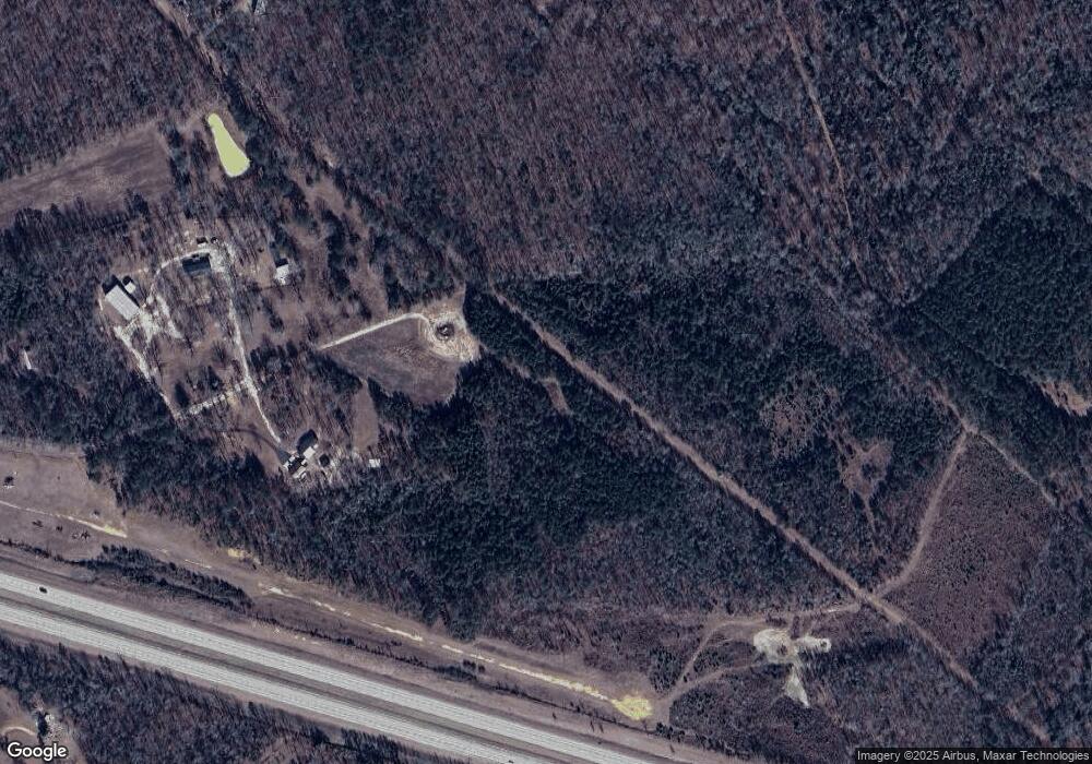
Map
Nearby Homes
- 239 Canton Rd
- 32 Second St
- 309 Walnut St
- 314 N 2nd St
- 1409 Allen Ave
- 676 N 2nd St
- 0 Lucy Chapel Rd
- 217 Rainbow Rd
- 0 Riggins Mills Rd Unit 179911
- 2382 Gallimore Mill Rd
- 742 Carry Rd
- 742 Cary Rd
- 119 William D St
- 5222 State Route 96
- 0 District Rd Unit 181919
- 1533 District Rd
- 278 State Route 96
- 983 Main St
- 00 Riggins Mills Rd
- 2186 Ga Highway 26 E
- 826 Airport Rd
- 621 Moore Rd
- 725 Moore Rd
- 571 Airport Rd
- 1527 Cool Springs Rd
- 1605 Cool Springs Rd
- 323 Airport Rd
- 616 Moore Rd
- 1713 Cool Springs Rd
- 1739 Cool Springs Rd
- 1396 Cool Springs Rd
- 1815 Cool Springs Rd
- 1339 Cool Springs Rd
- 1512 Cool Springs Rd
- 1512 Cool Springs Rd
- 1466 Cool Springs Rd
- 1889 Cool Springs Rd
- 1177 Moore Rd
- 1906 Cool Springs Rd
- 995 Howell Rd