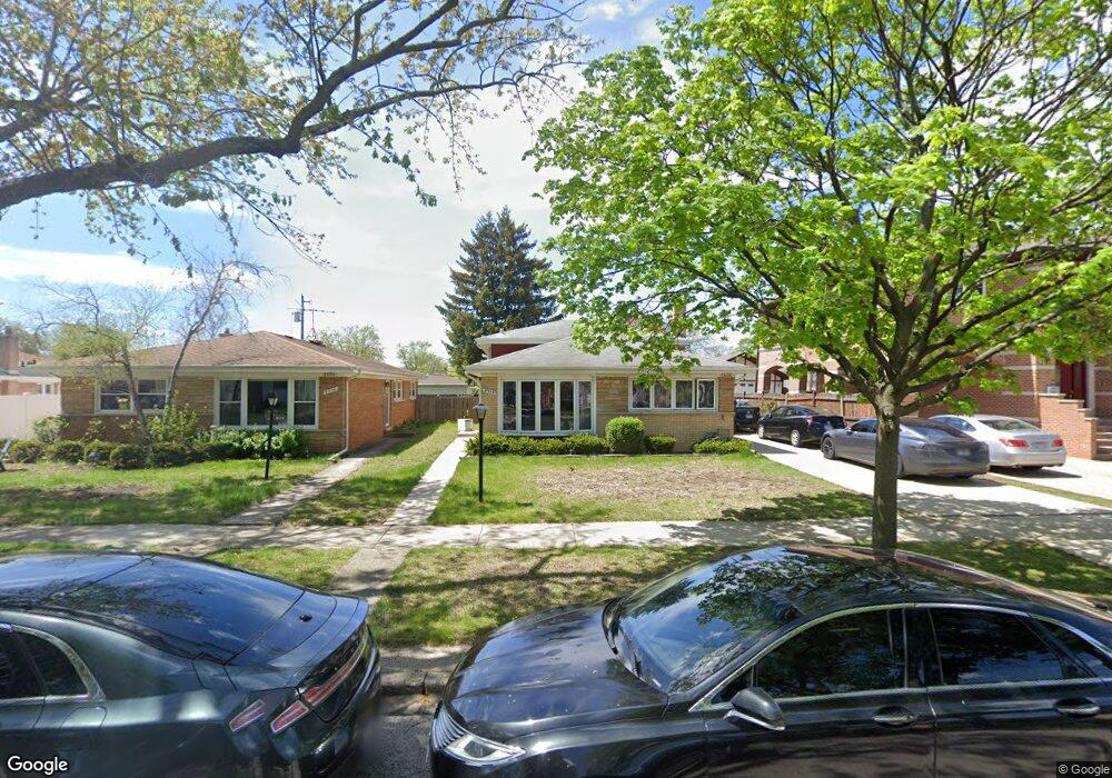
8530 Mango Ave Morton Grove, IL 60053
Estimated Value: $425,000 - $465,893
3
Beds
2
Baths
1,161
Sq Ft
$382/Sq Ft
Est. Value
About This Home
This home is located at 8530 Mango Ave, Morton Grove, IL 60053 and is currently estimated at $442,973, approximately $381 per square foot. 8530 Mango Ave is a home located in Cook County with nearby schools including Park View Elementary School, Niles West High School, and Arie Crown Hebrew Day School.
Ownership History
Date
Name
Owned For
Owner Type
Purchase Details
Closed on
Sep 20, 2023
Sold by
Simen Arthur and Seimen Helmut
Bought by
Syed Shahid Ali
Current Estimated Value
Home Financials for this Owner
Home Financials are based on the most recent Mortgage that was taken out on this home.
Original Mortgage
$300,000
Outstanding Balance
$294,658
Interest Rate
7.88%
Mortgage Type
New Conventional
Estimated Equity
$148,315
Create a Home Valuation Report for This Property
The Home Valuation Report is an in-depth analysis detailing your home's value as well as a comparison with similar homes in the area
Home Values in the Area
Average Home Value in this Area
Purchase History
| Date | Buyer | Sale Price | Title Company |
|---|---|---|---|
| Syed Shahid Ali | $431,000 | None Listed On Document |
Source: Public Records
Mortgage History
| Date | Status | Borrower | Loan Amount |
|---|---|---|---|
| Open | Syed Shahid Ali | $300,000 |
Source: Public Records
Tax History Compared to Growth
Tax History
| Year | Tax Paid | Tax Assessment Tax Assessment Total Assessment is a certain percentage of the fair market value that is determined by local assessors to be the total taxable value of land and additions on the property. | Land | Improvement |
|---|---|---|---|---|
| 2024 | $8,386 | $35,000 | $8,580 | $26,420 |
| 2023 | $7,938 | $35,000 | $8,580 | $26,420 |
| 2022 | $7,938 | $35,000 | $8,580 | $26,420 |
| 2021 | $1,892 | $28,617 | $5,280 | $23,337 |
| 2020 | $1,715 | $28,617 | $5,280 | $23,337 |
| 2019 | $1,700 | $32,154 | $5,280 | $26,874 |
| 2018 | $1,920 | $27,604 | $4,785 | $22,819 |
| 2017 | $1,900 | $27,604 | $4,785 | $22,819 |
| 2016 | $2,534 | $27,604 | $4,785 | $22,819 |
| 2015 | $2,863 | $24,035 | $4,125 | $19,910 |
| 2014 | $2,801 | $24,035 | $4,125 | $19,910 |
| 2013 | $2,801 | $24,035 | $4,125 | $19,910 |
Source: Public Records
Map
Nearby Homes
- 8708 Central Ave
- 5510 Lincoln Ave Unit B301
- 5510 Lincoln Ave Unit B101
- 5506 Lincoln Ave Unit A117
- 5506 Lincoln Ave Unit A216
- 8841 Menard Ave
- 5501 Lincoln Ave Unit 203
- 8836 Mansfield Ave
- 6035 Lincoln Ave
- 8541 Lotus Ave Unit 914
- 5500 Lincoln Ave Unit 407W
- 5500 Lincoln Ave Unit 116E
- 5500 Lincoln Ave Unit 109W
- 8655 Harms Rd
- 8918 Parkside Ave
- 8849 Mcvicker Ave
- 6140 Elm St
- 5536 Greenwood St
- 8464 Gross Point Rd
- 6166 Mayfair St Unit 33714
- 8534 Mango Ave
- 8526 Mango Ave
- 8538 Mango Ave
- 8522 Mango Ave Unit 11
- 8531 Menard Ave
- 8535 Menard Ave
- 8527 Menard Ave
- 8518 Mango Ave
- 8539 Menard Ave
- 8523 Menard Ave
- 5731 Theobald Rd
- 8542 Mango Ave
- 5737 Theobald Rd
- 8531 Mango Ave
- 8514 Mango Ave
- 8519 Menard Ave
- 8527 Mango Ave
- 8535 Mango Ave
- 5743 Theobald Rd
- 8523 Mango Ave