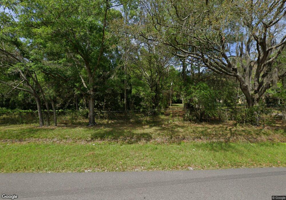
Estimated Value: $378,000 - $578,823
3
Beds
2
Baths
2,010
Sq Ft
$249/Sq Ft
Est. Value
About This Home
This home is located at 85301 Radio Ave, Yulee, FL 32097 and is currently estimated at $499,608, approximately $248 per square foot. 85301 Radio Ave is a home located in Nassau County with nearby schools including Yulee Primary School, Yulee Elementary School, and Yulee Middle School.
Ownership History
Date
Name
Owned For
Owner Type
Purchase Details
Closed on
Jul 29, 2016
Sold by
Tucker Milton B and Tucker 1998 Living Trust
Bought by
Tucker Sean M
Current Estimated Value
Home Financials for this Owner
Home Financials are based on the most recent Mortgage that was taken out on this home.
Original Mortgage
$176,739
Outstanding Balance
$140,514
Interest Rate
3.37%
Mortgage Type
FHA
Estimated Equity
$359,094
Purchase Details
Closed on
May 1, 2016
Bought by
Tucker Sean M
Create a Home Valuation Report for This Property
The Home Valuation Report is an in-depth analysis detailing your home's value as well as a comparison with similar homes in the area
Home Values in the Area
Average Home Value in this Area
Purchase History
| Date | Buyer | Sale Price | Title Company |
|---|---|---|---|
| Tucker Sean M | $180,000 | Hillcrest Title & Tr Agency | |
| Tucker Sean M | -- | -- |
Source: Public Records
Mortgage History
| Date | Status | Borrower | Loan Amount |
|---|---|---|---|
| Open | Tucker Sean M | $176,739 |
Source: Public Records
Tax History Compared to Growth
Tax History
| Year | Tax Paid | Tax Assessment Tax Assessment Total Assessment is a certain percentage of the fair market value that is determined by local assessors to be the total taxable value of land and additions on the property. | Land | Improvement |
|---|---|---|---|---|
| 2024 | $2,572 | $206,624 | -- | -- |
| 2023 | $2,572 | $201,620 | $0 | $0 |
| 2022 | $2,315 | $194,714 | $0 | $0 |
| 2021 | $2,323 | $188,340 | $0 | $0 |
| 2020 | $2,316 | $185,740 | $0 | $0 |
| 2019 | $2,278 | $181,564 | $0 | $0 |
| 2018 | $2,253 | $178,179 | $0 | $0 |
| 2017 | $2,119 | $179,043 | $0 | $0 |
| 2016 | $1,838 | $119,735 | $0 | $0 |
| 2015 | $960 | $99,664 | $0 | $0 |
| 2014 | $953 | $98,895 | $0 | $0 |
Source: Public Records
Map
Nearby Homes
- 85051 Condor Ln
- 85050 Myrtice Rd
- 86798 Hester Dr
- 86162 Callaway Dr
- 85208 Airplane Ln
- Lot 1 @ 86086 Callaway Dr
- 85226 Harts Rd
- 850370 U S 17
- 85490 Alene Rd
- 85456 N Harts Rd
- 850343 Us Highway 17
- 850343 Us Highway 17
- 86741 Lazy Lake Cir
- 86274 Sand Hickory Trail
- 86198 Tranquil Ct
- 85306 Joann Rd
- 86425 Moonlit Walk Cir
- 86410 Moonlit Walk Cir
- 86351 Moonlit Walk Cir
- 86158 Overstreet Ln
- 85329 Radio Ave
- 85278 Radio Ave
- 85064 Art Wilson Ln
- 85151 Art Wilson Ln
- 85441 Radio Ave
- 85449 Brooke St
- 85270 Myrtice Rd
- 85488 Brooke St
- 85163 Radio Ave
- 85166 Radio Ave
- 85149 Condor Ln
- 86475 Callaway Dr
- 85312 Myrtice Rd
- 85129 Condor Ln
- 86529 Hester Dr
- 85152 Myrtice Rd
- 85442 Radio Ave
- 0 Condor Ln
- 85111 Condor Ln
- 85190 Radio Ave
