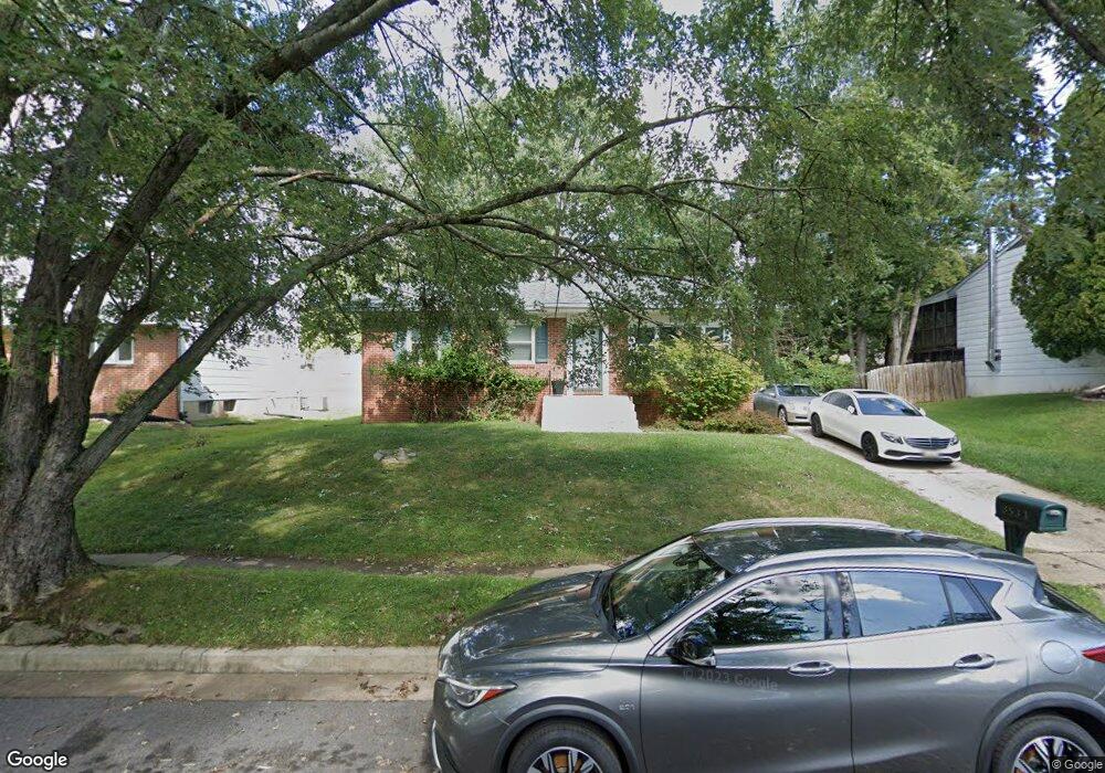
8534 Brest Rd Randallstown, MD 21133
Estimated Value: $336,000 - $357,941
Studio
3
Baths
1,280
Sq Ft
$272/Sq Ft
Est. Value
About This Home
This home is located at 8534 Brest Rd, Randallstown, MD 21133 and is currently estimated at $348,485, approximately $272 per square foot. 8534 Brest Rd is a home located in Baltimore County with nearby schools including Winand Elementary School, Northwest Academy of Health Sciences, and Randallstown High School.
Ownership History
Date
Name
Owned For
Owner Type
Purchase Details
Closed on
Dec 1, 2023
Sold by
Eutaw Place Llc
Bought by
Straughn Richard A
Current Estimated Value
Purchase Details
Closed on
Dec 28, 1999
Sold by
Glassman Mitchell D
Bought by
Straughn Richard A
Purchase Details
Closed on
Aug 30, 1985
Sold by
Epstein Henry
Bought by
Glassman Mitchell D
Create a Home Valuation Report for This Property
The Home Valuation Report is an in-depth analysis detailing your home's value as well as a comparison with similar homes in the area
Home Values in the Area
Average Home Value in this Area
Purchase History
| Date | Buyer | Sale Price | Title Company |
|---|---|---|---|
| Straughn Richard A | $4,000 | None Listed On Document | |
| Straughn Richard A | $4,000 | None Listed On Document | |
| Straughn Richard A | $111,000 | -- | |
| Glassman Mitchell D | $72,000 | -- |
Source: Public Records
Tax History
| Year | Tax Paid | Tax Assessment Tax Assessment Total Assessment is a certain percentage of the fair market value that is determined by local assessors to be the total taxable value of land and additions on the property. | Land | Improvement |
|---|---|---|---|---|
| 2025 | $3,610 | $266,200 | -- | -- |
| 2024 | $3,610 | $251,000 | $75,700 | $175,300 |
| 2023 | $1,836 | $241,433 | $0 | $0 |
| 2022 | $3,338 | $231,867 | $0 | $0 |
| 2021 | $3,678 | $222,300 | $75,700 | $146,600 |
| 2020 | $3,678 | $218,533 | $0 | $0 |
| 2019 | $3,377 | $214,767 | $0 | $0 |
| 2018 | $2,633 | $211,000 | $57,700 | $153,300 |
| 2017 | $2,488 | $191,267 | $0 | $0 |
| 2016 | $2,163 | $171,533 | $0 | $0 |
| 2015 | $2,163 | $151,800 | $0 | $0 |
| 2014 | $2,163 | $151,800 | $0 | $0 |
Source: Public Records
Map
Nearby Homes
- 4048 Carthage Rd
- 8604 Woodbrook Ct
- 8541 Lucerne Rd
- 5 Windy Meadow Ct
- 4816 Valley Forge Rd
- 4812 Valley Forge Rd
- 4818 Oakland Park Rd
- 4226 Huntshire Rd
- 4814 Oakland Park Rd
- 8333 Scotts Level Rd
- 8513 Charlton Rd
- 4223 Chastetree Ct
- 8807 Stone Ridge Cir Unit 101
- 8803 Stone Ridge Cir Unit 301
- 8809 Stone Ridge Cir Unit 204
- 4932 Old Court Rd
- 8905 Stone Creek Place Unit 201
- 9063 Meadow Heights Rd
- 8325 Meadowsweet Rd
- 8330 Meadowsweet Rd