8534 Pine Hurst Cir Roanoke, VA 24019
Estimated Value: $285,829 - $327,000
2
Beds
2
Baths
1,470
Sq Ft
$211/Sq Ft
Est. Value
About This Home
This home is located at 8534 Pine Hurst Cir, Roanoke, VA 24019 and is currently estimated at $310,707, approximately $211 per square foot. 8534 Pine Hurst Cir is a home located in Roanoke County with nearby schools including Mountain View Elementary School, Northside Middle School, and Northside High School.
Ownership History
Date
Name
Owned For
Owner Type
Purchase Details
Closed on
Sep 13, 2018
Sold by
Ludwick Sarah H
Bought by
Holmes Rebecca S
Current Estimated Value
Purchase Details
Closed on
Apr 18, 2018
Sold by
Atkins Marion R and Atkins Pamela
Bought by
Holmes Joel R and Holmes Rebecca S
Purchase Details
Closed on
Aug 21, 2017
Sold by
Murphy Shirley A and Sadler Denis J
Bought by
Murphy Shirley A and Murphy Rober Eugene
Create a Home Valuation Report for This Property
The Home Valuation Report is an in-depth analysis detailing your home's value as well as a comparison with similar homes in the area
Purchase History
| Date | Buyer | Sale Price | Title Company |
|---|---|---|---|
| Holmes Rebecca S | -- | None Available | |
| Holmes Joel R | $203,900 | Fidelity National Title | |
| Murphy Shirley A | $65,000 | None Available |
Source: Public Records
Tax History
| Year | Tax Paid | Tax Assessment Tax Assessment Total Assessment is a certain percentage of the fair market value that is determined by local assessors to be the total taxable value of land and additions on the property. | Land | Improvement |
|---|---|---|---|---|
| 2025 | $2,825 | $274,300 | $48,400 | $225,900 |
| 2024 | $2,601 | $250,100 | $48,400 | $201,700 |
| 2023 | $2,356 | $222,300 | $44,000 | $178,300 |
| 2022 | $2,196 | $201,500 | $40,700 | $160,800 |
| 2021 | $2,000 | $183,500 | $33,000 | $150,500 |
| 2020 | $1,965 | $180,300 | $33,000 | $147,300 |
| 2019 | $1,948 | $178,700 | $33,000 | $145,700 |
| 2018 | $1,915 | $177,100 | $33,000 | $144,100 |
| 2017 | $1,915 | $175,700 | $33,000 | $142,700 |
| 2016 | $1,891 | $173,500 | $30,800 | $142,700 |
| 2015 | $1,851 | $169,800 | $28,600 | $141,200 |
| 2014 | $1,832 | $168,100 | $28,600 | $139,500 |
Source: Public Records
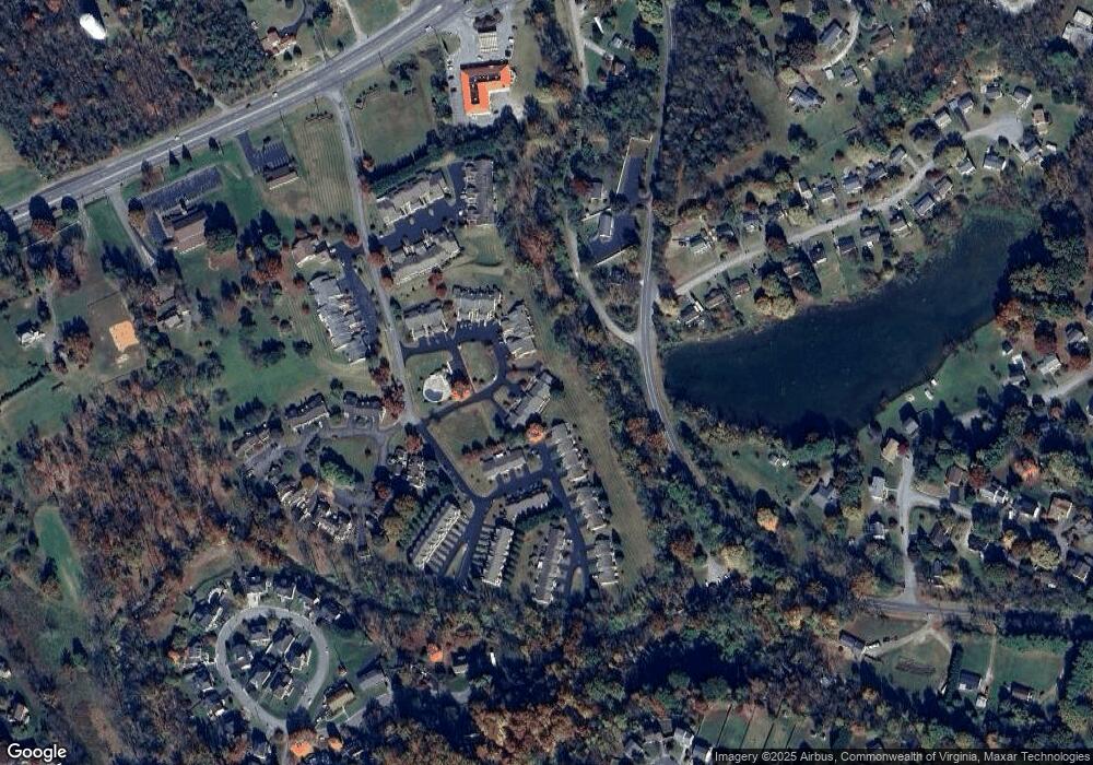
Map
Nearby Homes
- 8717 Little Hoop Rd
- 8416 Stoney Corner Ln
- 8146 Williamson Rd
- 8132 Running Deer Ln
- 7919 Shadwell Dr
- 6915 Ardmore Dr
- 6009 Stonehouse Ln
- 6641 Bryant Cir
- 7323 La Marre Cir
- 839 Clearwater Ave
- 909 Chester Ave
- 7241 Estes St
- 830 Dexter Rd
- 6836 Trevilian Rd
- 6420 Nell Dr
- 216 Stonecreek Way
- 1290 Trafalgar Dr
- 901 Walhalla Ct
- 310 Stoneledge Dr
- 1152 Cardiff Ct
- 8536 Pine Hurst Cir
- 8538 Pine Hurst Cir
- 8532 Pine Hurst Cir
- 8540 Pine Hurst Cir
- 8530 Pine Hurst Cir
- 8528 Pine Hurst Cir
- 8604 S Bend Dr
- 8526 Pine Hurst Cir
- 8607 Little Hoop Rd
- 8608 S Bend Dr
- 8611 Little Hoop Rd
- 8612 S Bend Dr
- 8522 Pine Hurst Cir
- 8615 Little Hoop Rd
- 8520 Pine Hurst Cir
- 8518 Pine Hurst Cir
- 8616 S Bend Dr
- 8606 Little Hoop Rd
- 8516 Pine Hurst Cir
- 8610 Little Hoop Rd
Your Personal Tour Guide
Ask me questions while you tour the home.