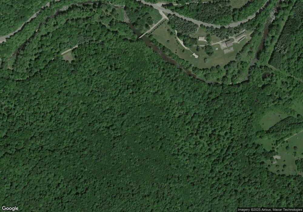
8535 Route 87 Dushore, PA 18614
Estimated Value: $598,000 - $769,000
3
Beds
3
Baths
1,056
Sq Ft
$646/Sq Ft
Est. Value
About This Home
This home is located at 8535 Route 87, Dushore, PA 18614 and is currently estimated at $682,035, approximately $645 per square foot. 8535 Route 87 is a home located in Sullivan County with nearby schools including Sullivan County Elementary School and Sullivan County High School.
Ownership History
Date
Name
Owned For
Owner Type
Purchase Details
Closed on
Dec 29, 2020
Sold by
Minnier Michael L and Acri Anthony L
Bought by
Wood Robert A and Wood Cynthia M
Current Estimated Value
Home Financials for this Owner
Home Financials are based on the most recent Mortgage that was taken out on this home.
Original Mortgage
$428,000
Outstanding Balance
$312,939
Interest Rate
2.71%
Mortgage Type
New Conventional
Estimated Equity
$369,096
Create a Home Valuation Report for This Property
The Home Valuation Report is an in-depth analysis detailing your home's value as well as a comparison with similar homes in the area
Home Values in the Area
Average Home Value in this Area
Purchase History
| Date | Buyer | Sale Price | Title Company |
|---|---|---|---|
| Wood Robert A | $535,000 | Exact Abstract Llc |
Source: Public Records
Mortgage History
| Date | Status | Borrower | Loan Amount |
|---|---|---|---|
| Open | Wood Robert A | $428,000 |
Source: Public Records
Tax History Compared to Growth
Tax History
| Year | Tax Paid | Tax Assessment Tax Assessment Total Assessment is a certain percentage of the fair market value that is determined by local assessors to be the total taxable value of land and additions on the property. | Land | Improvement |
|---|---|---|---|---|
| 2025 | $5,277 | $248,800 | $34,600 | $214,200 |
| 2024 | $4,663 | $248,800 | $34,600 | $214,200 |
| 2023 | $4,824 | $248,800 | $34,600 | $214,200 |
| 2022 | $4,421 | $248,800 | $34,600 | $214,200 |
| 2021 | $1,277 | $248,800 | $34,600 | $214,200 |
| 2020 | $7,011 | $248,800 | $34,600 | $214,200 |
| 2019 | $6,700 | $494,600 | $167,500 | $327,100 |
| 2017 | $6,474 | $485,400 | $167,500 | $317,900 |
| 2015 | $4,023 | $484,000 | $167,500 | $316,500 |
| 2014 | $4,023 | $364,900 | $48,400 | $316,500 |
| 2012 | $4,023 | $345,900 | $50,900 | $295,000 |
Source: Public Records
Map
Nearby Homes
- Lot 24 Cavanaugh Rd
- 49 Bear Run Ln
- 1146 Eagle Rock Rd
- 6765 Route 87
- 1498 Gainer Hill Rd
- 4 Huckle St
- 0001 Pennsylvania 87 Unit LOT 26
- 0001 Pennsylvania 87 Unit LOT 25
- 0 Pole Bridge Rd Unit LOT 39 WB-100451
- 0 Pole Bridge Rd Unit LOT 38 WB-100450
- 0 Pole Bridge Rd Unit LOT 37 WB-100448
- 8028 U S 220
- 72 Carl Rd
- 0 Route 4008 Unit LotWp001 19733217
- 0 Route 4008 Unit 11264997
- 43 Tall Maples Rd
- 45 Thumma Rd
- 108 Stansfield Rd
- 13 Thorne St
- 126 James Rd
- 17 Yanney Rd
- 8535 Pennsylvania 87
- 8774 Route 87
- 77 Snell Ln
- 0 Turkey Ln
- 31 Turkey Ln
- 49 Turkey Ln
- 40 Trout Run Ln
- 58 Trout Run Ln
- 87 Pennsylvania 87
- 10 Rock Run Rd
- 256 Yanney Rd
- 2 Rock Run Rd
- 1471 Rock Run Rd
- 2406 Rock Run Rd
- 2377 Rock Run Rd
- 2500 Rock Run Rd
- 355 Wright Hill Rd
- 2595 Rock Run Rd
- 2404 Rock Run Rd
