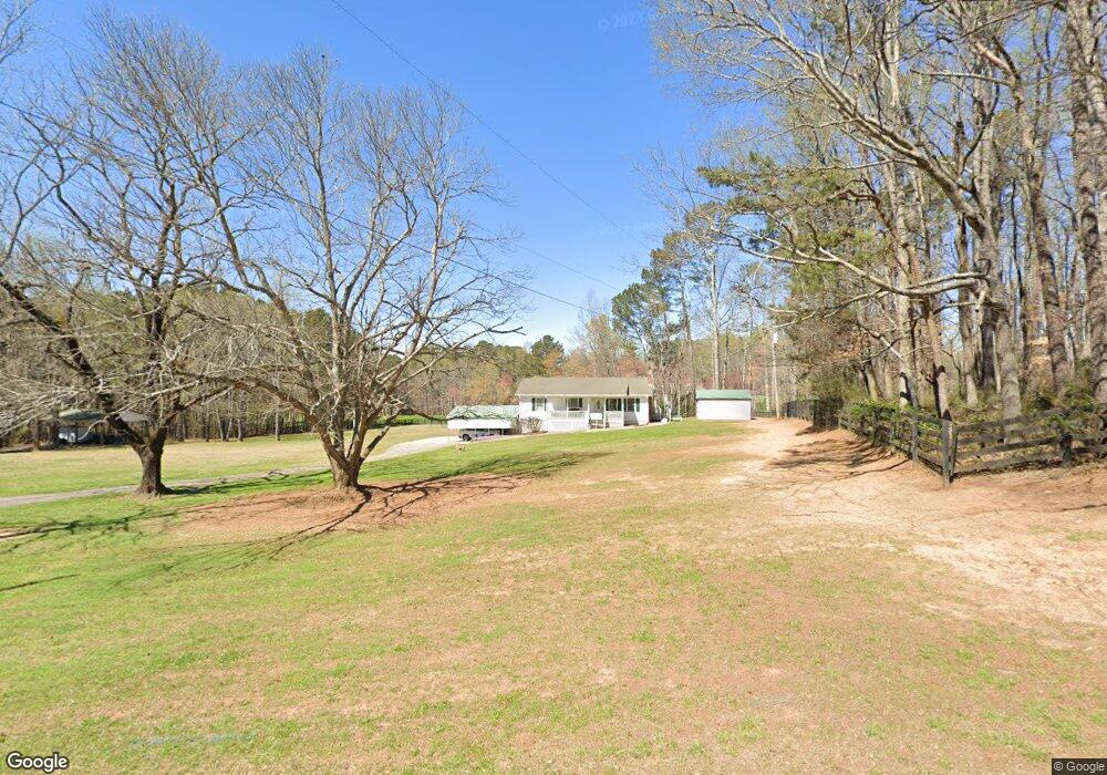
8537 E Cherokee Dr Canton, GA 30115
Union Hill NeighborhoodEstimated Value: $563,000 - $596,000
2
Beds
1
Bath
1,144
Sq Ft
$503/Sq Ft
Est. Value
About This Home
This home is located at 8537 E Cherokee Dr, Canton, GA 30115 and is currently estimated at $575,299, approximately $502 per square foot. 8537 E Cherokee Dr is a home located in Cherokee County with nearby schools including Macedonia Elementary School, Creekland Middle School, and Creekview High School.
Ownership History
Date
Name
Owned For
Owner Type
Purchase Details
Closed on
Sep 13, 2024
Sold by
Smith Vickie B
Bought by
Smith Craig Edward
Current Estimated Value
Purchase Details
Closed on
Feb 7, 2002
Sold by
Blanton Benny H
Bought by
Smith Vickie B and Smith Danny G
Home Financials for this Owner
Home Financials are based on the most recent Mortgage that was taken out on this home.
Original Mortgage
$180,000
Interest Rate
7.12%
Mortgage Type
New Conventional
Create a Home Valuation Report for This Property
The Home Valuation Report is an in-depth analysis detailing your home's value as well as a comparison with similar homes in the area
Home Values in the Area
Average Home Value in this Area
Purchase History
| Date | Buyer | Sale Price | Title Company |
|---|---|---|---|
| Smith Craig Edward | -- | -- | |
| Smith Vickie B | $175,000 | -- |
Source: Public Records
Mortgage History
| Date | Status | Borrower | Loan Amount |
|---|---|---|---|
| Previous Owner | Smith Vickie B | $180,000 |
Source: Public Records
Tax History
| Year | Tax Paid | Tax Assessment Tax Assessment Total Assessment is a certain percentage of the fair market value that is determined by local assessors to be the total taxable value of land and additions on the property. | Land | Improvement |
|---|---|---|---|---|
| 2025 | $1,370 | $270,556 | $182,840 | $87,716 |
| 2024 | $1,831 | $229,004 | $157,800 | $71,204 |
| 2023 | $1,452 | $203,000 | $130,600 | $72,400 |
| 2022 | $1,205 | $176,240 | $130,600 | $45,640 |
| 2021 | $1,184 | $145,200 | $108,840 | $36,360 |
| 2020 | $1,191 | $145,920 | $108,840 | $37,080 |
| 2019 | $3,988 | $145,760 | $108,840 | $36,920 |
| 2018 | $3,977 | $144,360 | $108,840 | $35,520 |
| 2017 | $3,784 | $337,100 | $98,760 | $36,080 |
| 2016 | $3,042 | $267,000 | $82,040 | $24,760 |
| 2015 | $3,086 | $268,200 | $82,040 | $25,240 |
| 2014 | $2,688 | $233,900 | $68,640 | $24,920 |
Source: Public Records
Map
Nearby Homes
- 211 Memory Ln
- 172 Aspen Hall Dr
- 105 Aspen Hall Dr
- 8024 E Cherokee Dr
- 7915 E Cherokee Dr
- 494 Johnson Brady Rd
- 213 Haley Farm Way
- 339 Bennington Place
- 422 Juniper Ct
- 402 Greyfield Dr
- 504 Stillbrook Ct
- 114 Ridgemoor Trace
- 605 Little Shoals Ct
- 105 Ridgemoor Trace Unit 14A
- 601 Davenport Place
- 109 Wood Duck Lodge
- 109 Wood Duck Landing
- 110 Grandmar Chase
- 1075 Johnson Brady Rd
- 208 Grandmar Chase
- 8534 E Cherokee Dr
- 8534 E Cherokee Dr
- 8626 E Cherokee Dr
- 00 Memory Ln
- 8445 E Cherokee Dr
- 8426 E Cherokee Dr
- 8371 E Cherokee Dr
- 184 Haley Farm Rd
- 8781 E Cherokee Dr
- 8364 E Cherokee Dr
- 8805 E Cherokee Dr
- 180 Aspen Hall Dr
- 155 Beavers Rd
- 8339 E Cherokee Dr
- 176 Aspen Hall Dr
- 8362 E Cherokee Dr
- 8794 E Cherokee Dr
- 300 Haley Farm Rd
- 8625 E Cherokee Dr
- 179 Aspen Hall Dr
Your Personal Tour Guide
Ask me questions while you tour the home.