8538 E Gresham Rd Dunkerton, IA 50626
Estimated Value: $357,000 - $508,000
About This Home
This home is located at 8538 E Gresham Rd, Dunkerton, IA 50626 and is currently estimated at $435,619, approximately $177 per square foot. 8538 E Gresham Rd is a home located in Black Hawk County with nearby schools including Dunkerton Elementary School and Dunkerton High School.
Ownership History
We collect this data history from publicly available records. To have your information removed, we recommend requesting removal directly through your county’s website.
Purchase Details
Home Financials for this Owner
Home Financials are based on the most recent Mortgage that was taken out on this home.Purchase Details
Home Financials for this Owner
Home Financials are based on the most recent Mortgage that was taken out on this home.Purchase History
We collect this data history from publicly available records. To have your information removed, we recommend requesting removal directly through your county’s website.
| Date | Buyer | Sale Price | Title Company |
|---|---|---|---|
| -- | None Available | ||
| $76,500 | None Available |
Mortgage History
We collect this data history from publicly available records. To have your information removed, we recommend requesting removal directly through your county’s website.
| Date | Status | Borrower | Loan Amount |
|---|---|---|---|
| Closed | $112,500 |
Tax History
We collect this data history from publicly available records. To have your information removed, we recommend requesting removal directly through your county’s website.
| Year | Tax Paid | Tax Assessment Tax Assessment Total Assessment is a certain percentage of the fair market value that is determined by local assessors to be the total taxable value of land and additions on the property. | Land | Improvement |
|---|---|---|---|---|
| 2025 | $4,334 | $459,920 | $65,400 | $394,520 |
| 2024 | $4,334 | $359,520 | $54,500 | $305,020 |
| 2023 | $2,426 | $208,160 | $54,500 | $153,660 |
| 2022 | $2,386 | $175,360 | $43,600 | $131,760 |
| 2021 | $2,276 | $175,360 | $43,600 | $131,760 |
| 2020 | $2,078 | $147,150 | $26,350 | $120,800 |
| 2019 | $2,078 | $147,150 | $26,350 | $120,800 |
| 2018 | $2,100 | $147,150 | $26,350 | $120,800 |
| 2017 | $2,126 | $147,150 | $26,350 | $120,800 |
| 2016 | $1,470 | $147,150 | $26,350 | $120,800 |
| 2015 | $1,470 | $102,950 | $2,910 | $100,040 |
| 2014 | $1,590 | $108,870 | $5,720 | $103,150 |
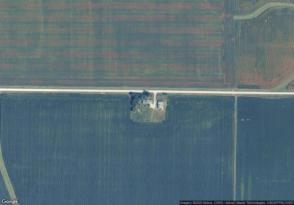
Map
- 7603 N Raymond Rd
- 213 Brookside Dr
- 1202 Jon Rd
- 101 S Washington St
- 301 W Sycamore St
- 2613 270th St
- 0 S Canfield St
- 406 S Canfield St
- 619 Sal Ave
- Lot 141 Sal Ave
- 123 Carroll Blvd
- 6050 Duffy Rd
- 412 E 4th St
- 247 Goodell Ave
- 507 W 4th St
- 410 Lakeside Dr
- 506 Cedar Dr
- 601 2nd St NE
- LOT 40 Cloverdale
- 24902 Maple St
- 8920 E Gresham Rd
- 8121 E Gresham Rd
- 9200 N Canfield Rd
- 8744 N Canfield Rd
- 9303 N Canfield Rd
- 9308 N Canfield Rd
- 8714 N Canfield Rd
- 8521 N Canfield Rd
- 8515 N Canfield Rd
- 9510 N Canfield Rd
- 7741 E Gresham Rd
- 8204 N Canfield Rd
- 9737 N Canfield Rd
- 9741 N Canfield Rd
- 8210 N Pilot Grove Rd
- 8517 E Cedar Wapsi Rd
- 8234 E Marquis Rd
- 2961 Marquis Rd
Ask me questions while you tour the home.