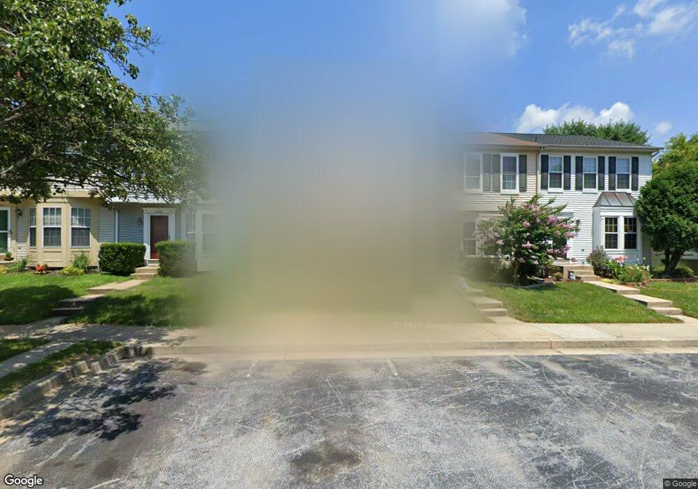
8539 Black Star Cir Columbia, MD 21045
Long Reach NeighborhoodEstimated Value: $382,364 - $451,000
--
Bed
3
Baths
1,360
Sq Ft
$301/Sq Ft
Est. Value
About This Home
This home is located at 8539 Black Star Cir, Columbia, MD 21045 and is currently estimated at $409,091, approximately $300 per square foot. 8539 Black Star Cir is a home located in Howard County with nearby schools including Waterloo Elementary School, Mayfield Woods Middle School, and Long Reach High School.
Ownership History
Date
Name
Owned For
Owner Type
Purchase Details
Closed on
Dec 13, 1995
Sold by
Jones Steven T
Bought by
Smith Xavier H
Current Estimated Value
Purchase Details
Closed on
Dec 15, 1994
Sold by
Jones Steven T
Bought by
Smith Xavier H
Home Financials for this Owner
Home Financials are based on the most recent Mortgage that was taken out on this home.
Original Mortgage
$114,750
Interest Rate
9.03%
Purchase Details
Closed on
Apr 4, 1991
Sold by
Ryland Group Inc
Bought by
Jones Steven T
Home Financials for this Owner
Home Financials are based on the most recent Mortgage that was taken out on this home.
Original Mortgage
$128,348
Interest Rate
9.52%
Purchase Details
Closed on
Oct 23, 1990
Sold by
Howard Research Develop Land Co
Bought by
Ryland Group Inc
Create a Home Valuation Report for This Property
The Home Valuation Report is an in-depth analysis detailing your home's value as well as a comparison with similar homes in the area
Home Values in the Area
Average Home Value in this Area
Purchase History
| Date | Buyer | Sale Price | Title Company |
|---|---|---|---|
| Smith Xavier H | $127,500 | -- | |
| Smith Xavier H | $127,500 | -- | |
| Jones Steven T | $126,500 | -- | |
| Ryland Group Inc | $300,000 | -- |
Source: Public Records
Mortgage History
| Date | Status | Borrower | Loan Amount |
|---|---|---|---|
| Previous Owner | Smith Xavier H | $114,750 | |
| Previous Owner | Jones Steven T | $128,348 |
Source: Public Records
Tax History Compared to Growth
Tax History
| Year | Tax Paid | Tax Assessment Tax Assessment Total Assessment is a certain percentage of the fair market value that is determined by local assessors to be the total taxable value of land and additions on the property. | Land | Improvement |
|---|---|---|---|---|
| 2025 | $3,846 | $319,800 | $0 | $0 |
| 2024 | $3,846 | $303,100 | $0 | $0 |
| 2023 | $4,495 | $286,400 | $130,000 | $156,400 |
| 2022 | $4,328 | $277,533 | $0 | $0 |
| 2021 | $4,125 | $268,667 | $0 | $0 |
| 2020 | $4,125 | $259,800 | $91,000 | $168,800 |
| 2019 | $4,125 | $259,800 | $91,000 | $168,800 |
| 2018 | $3,882 | $259,800 | $91,000 | $168,800 |
| 2017 | $2,819 | $277,200 | $0 | $0 |
| 2016 | $685 | $260,733 | $0 | $0 |
| 2015 | $685 | $244,267 | $0 | $0 |
| 2014 | $668 | $227,800 | $0 | $0 |
Source: Public Records
Map
Nearby Homes
- 8373 Silver Trumpet Dr
- 8723 Hayshed Ln Unit 21
- 8709 Hayshed Ln Unit 13
- 8704 Tamar Dr
- 8611 Open Meadow Way
- 5803 Lois Ln
- 8611 Meadowsweet Ct
- 6118 Starburn Path
- 6125 Honeycomb Gate
- 6137 Quiet Times
- 5810 Lois Ln
- 8602 Hayshed Ln
- 6119 Starburn Path
- 5642 Waterloo Rd
- 5901 Millrace Ct
- 5721 Rosanna Place
- 6028 Talbot Dr
- 5941 Millrace Ct Unit D101
- 8377 Montgomery Run Rd Unit I
- 8330 Montgomery Run Rd Unit J
- 8541 Black Star Cir
- 8537 Black Star Cir
- 8535 Black Star Cir
- 8543 Black Star Cir
- 8533 Black Star Cir
- 8531 Black Star Cir
- 8545 Black Star Cir
- 8529 Black Star Cir
- 8547 Black Star Cir
- 8549 Black Star Cir
- 8525 Black Star Cir
- 8551 Black Star Cir
- 8538 Black Star Cir
- 8536 Black Star Cir
- 8534 Black Star Cir
- 8532 Black Star Cir
- 8523 Black Star Cir
- 8530 Black Star Cir
- 8553 Black Star Cir
- 8528 Black Star Cir