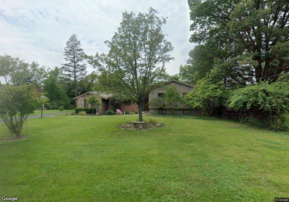
8539 Highton Ct Cincinnati, OH 45236
Estimated Value: $445,000 - $466,423
4
Beds
3
Baths
2,566
Sq Ft
$177/Sq Ft
Est. Value
About This Home
This home is located at 8539 Highton Ct, Cincinnati, OH 45236 and is currently estimated at $454,356, approximately $177 per square foot. 8539 Highton Ct is a home located in Hamilton County with nearby schools including Amity Elementary School, Deer Park Jr/Sr High School, and Ohr Torah Cincinnati.
Ownership History
Date
Name
Owned For
Owner Type
Purchase Details
Closed on
Aug 16, 2021
Sold by
Reber Dean H and Dean H Reber Trust
Bought by
Riesenberg Jon and Riesenberg Karen M
Current Estimated Value
Home Financials for this Owner
Home Financials are based on the most recent Mortgage that was taken out on this home.
Original Mortgage
$239,900
Outstanding Balance
$215,898
Interest Rate
2.8%
Mortgage Type
New Conventional
Estimated Equity
$238,458
Purchase Details
Closed on
Mar 18, 2008
Sold by
Reber Dean H and Reber Ann H
Bought by
Reber Dean H
Purchase Details
Closed on
Nov 26, 1993
Sold by
Reber Dean H
Bought by
Reber Dean H and Reber Ann H
Home Financials for this Owner
Home Financials are based on the most recent Mortgage that was taken out on this home.
Original Mortgage
$37,400
Interest Rate
7.15%
Create a Home Valuation Report for This Property
The Home Valuation Report is an in-depth analysis detailing your home's value as well as a comparison with similar homes in the area
Home Values in the Area
Average Home Value in this Area
Purchase History
| Date | Buyer | Sale Price | Title Company |
|---|---|---|---|
| Riesenberg Jon | $339,900 | Old Town Title | |
| Reber Dean H | -- | Attorney | |
| Reber Dean H | -- | Attorney | |
| Reber Dean H | -- | -- |
Source: Public Records
Mortgage History
| Date | Status | Borrower | Loan Amount |
|---|---|---|---|
| Open | Riesenberg Jon | $239,900 | |
| Closed | Reber Dean H | $37,400 |
Source: Public Records
Tax History
| Year | Tax Paid | Tax Assessment Tax Assessment Total Assessment is a certain percentage of the fair market value that is determined by local assessors to be the total taxable value of land and additions on the property. | Land | Improvement |
|---|---|---|---|---|
| 2025 | $7,364 | $118,966 | $23,643 | $95,323 |
| 2023 | $6,514 | $118,966 | $23,643 | $95,323 |
| 2022 | $5,742 | $80,763 | $18,914 | $61,849 |
| 2021 | $5,618 | $80,763 | $18,914 | $61,849 |
| 2020 | $5,121 | $80,763 | $18,914 | $61,849 |
| 2019 | $5,259 | $74,781 | $17,514 | $57,267 |
| 2018 | $5,262 | $74,781 | $17,514 | $57,267 |
| 2017 | $4,977 | $74,781 | $17,514 | $57,267 |
| 2016 | $4,726 | $70,043 | $19,597 | $50,446 |
| 2015 | $4,383 | $70,043 | $19,597 | $50,446 |
| 2014 | $4,385 | $70,043 | $19,597 | $50,446 |
| 2013 | $3,998 | $63,102 | $17,654 | $45,448 |
Source: Public Records
Map
Nearby Homes
- 8494 Wexford Ave
- 3647 Guam Ct
- 8608 Dundalk Ct
- 4104 Estermarie Dr
- 8474 Donna Ln
- 4053 Belfast Ave
- 4073 Mantell Ave
- 9007 Rolling Ln
- 8468 Plainfield Rd
- 8622 Plainfield Ln
- 3859 Blackwood Ct
- 7837 Moss Ct
- 4152 Larchview Dr
- 7905 Plainfield Rd
- 4208 Linden Ave
- 1128 Oldwick Dr
- 4304 Kugler Mill Rd
- 117 Waxwing Dr
- 2590 Hunt Rd
- 1283 Alwil Dr
- 8543 Highton Ct
- 8533 Highton Ct
- 8545 Highton Ct
- 8542 Highton Ct
- 8534 Highton Ct
- 3752 Donegal Dr
- 8526 Highton Ct
- 3738 Donegal Dr
- 8544 Highton Ct
- 8518 Highton Ct
- 8557 Wicklow Ave
- 8549 Wicklow Ave
- 8565 Wicklow Ave
- 8541 Wicklow Ave
- 8573 Wicklow Ave
- 8533 Wicklow Ave
- 8581 Wicklow Ave
- 8525 Wicklow Ave
- 8517 Wicklow Ave
- 8528 Gwilada Dr
Your Personal Tour Guide
Ask me questions while you tour the home.