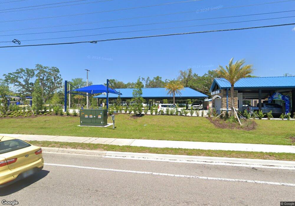
8539 Ridge Rd New Port Richey, FL 34654
Estimated Value: $77,000
--
Bed
1
Bath
3,199
Sq Ft
$24/Sq Ft
Est. Value
About This Home
This home is located at 8539 Ridge Rd, New Port Richey, FL 34654 and is currently priced at $77,000, approximately $24 per square foot. 8539 Ridge Rd is a home located in Pasco County with nearby schools including Cypress Elementary School, River Ridge High School, and River Ridge Middle School.
Ownership History
Date
Name
Owned For
Owner Type
Purchase Details
Closed on
Dec 20, 2024
Sold by
Mdc Coastal 1 Llc
Bought by
Realty Income U S Core Plus 3 Lp
Current Estimated Value
Purchase Details
Closed on
May 26, 2023
Sold by
Twas Properties Llc
Bought by
Mdc Coastal 1 Llc
Purchase Details
Closed on
Sep 21, 2012
Sold by
The 8539 Ridge Land Trust
Bought by
The Ridge Land Trust and Trinity Management Group Llc
Purchase Details
Closed on
Nov 9, 2011
Sold by
Jensen Steven R
Bought by
The 8539 Ridge Land Trust
Purchase Details
Closed on
Jun 30, 2009
Sold by
Gordon Andrew and Gordon Charlene R
Bought by
Jensen Steven R and The Moon Lake Revocable Trust
Purchase Details
Closed on
Jun 1, 2004
Sold by
Campos Luis G and Campos Steven G
Bought by
Gordon Andrew and Gordon Charlene
Create a Home Valuation Report for This Property
The Home Valuation Report is an in-depth analysis detailing your home's value as well as a comparison with similar homes in the area
Home Values in the Area
Average Home Value in this Area
Purchase History
| Date | Buyer | Sale Price | Title Company |
|---|---|---|---|
| Realty Income U S Core Plus 3 Lp | $100 | Stewart Title Guaranty Company | |
| Mdc Coastal 1 Llc | $1,450,000 | Fidelity National Title | |
| The Ridge Land Trust | $10,000 | All Performance Title Llc | |
| The 8539 Ridge Land Trust | -- | None Available | |
| Jensen Steven R | -- | None Available | |
| Gordon Andrew | $140,000 | -- |
Source: Public Records
Tax History Compared to Growth
Tax History
| Year | Tax Paid | Tax Assessment Tax Assessment Total Assessment is a certain percentage of the fair market value that is determined by local assessors to be the total taxable value of land and additions on the property. | Land | Improvement |
|---|---|---|---|---|
| 2025 | $15,002 | $868,583 | $42,500 | $826,083 |
| 2024 | $15,002 | $885,439 | $42,500 | $842,939 |
| 2023 | $735 | $32,000 | $32,000 | $0 |
| 2022 | $695 | $32,309 | $32,000 | $309 |
| 2021 | $696 | $32,333 | $32,000 | $333 |
| 2020 | $690 | $32,356 | $32,000 | $356 |
| 2019 | $689 | $32,380 | $32,000 | $380 |
| 2018 | $682 | $32,238 | $32,000 | $238 |
| 2017 | $692 | $32,238 | $32,000 | $238 |
| 2016 | $659 | $32,238 | $32,000 | $238 |
| 2015 | $670 | $32,216 | $32,000 | $216 |
| 2014 | $650 | $32,198 | $32,000 | $198 |
Source: Public Records
Map
Nearby Homes
- 8617 Broad St
- 0 0 Unit MFRTB8421780
- 8528 Thrasher Ct
- 8518 Thrasher Ct
- 8741 Planters Ln
- 8522 Cranes Roost Dr
- 8531 Bass Lake Dr
- 8711 Crescent Forest Blvd
- 8823 Crescent Forest Blvd
- 8057 Moonlight Ln
- 8225 Arevee Dr Unit 819
- 8225 Arevee Dr Unit 334
- 8225 Arevee Dr Unit 363
- 8225 Arevee Dr
- 8225 Arevee Dr Unit 630
- 8225 Arevee Dr Unit 638
- 7623 Radcliffe Cir Unit A112
- 7623 Radcliffe Cir Unit 211A
- 7715 Radcliffe Cir
- 7614 Radcliffe Cir Unit 108B