854 Gunns Cir Cleveland, GA 30528
Estimated Value: $286,861 - $311,000
3
Beds
2
Baths
1,260
Sq Ft
$237/Sq Ft
Est. Value
About This Home
This home is located at 854 Gunns Cir, Cleveland, GA 30528 and is currently estimated at $298,215, approximately $236 per square foot. 854 Gunns Cir is a home located in White County with nearby schools including White County 9th Grade Academy, Mount Yonah Elementary School, and White County Middle School.
Ownership History
Date
Name
Owned For
Owner Type
Purchase Details
Closed on
May 13, 2011
Sold by
Secretary Of Housing
Bought by
Roberts Charles I
Current Estimated Value
Home Financials for this Owner
Home Financials are based on the most recent Mortgage that was taken out on this home.
Original Mortgage
$91,087
Outstanding Balance
$63,301
Interest Rate
4.88%
Mortgage Type
New Conventional
Estimated Equity
$234,914
Purchase Details
Closed on
Jun 1, 2010
Sold by
Citimortgage Inc
Bought by
Secretary Dep Of Housing
Purchase Details
Closed on
Jan 31, 2005
Sold by
Federal Home Loan Mortgage Corporation
Bought by
Jones Dee A
Home Financials for this Owner
Home Financials are based on the most recent Mortgage that was taken out on this home.
Original Mortgage
$109,250
Interest Rate
9.99%
Mortgage Type
New Conventional
Create a Home Valuation Report for This Property
The Home Valuation Report is an in-depth analysis detailing your home's value as well as a comparison with similar homes in the area
Home Values in the Area
Average Home Value in this Area
Purchase History
| Date | Buyer | Sale Price | Title Company |
|---|---|---|---|
| Roberts Charles I | $83,000 | -- | |
| Secretary Dep Of Housing | $156,286 | -- | |
| Citimortgage Inc | $156,286 | -- | |
| Jones Dee A | $115,000 | -- |
Source: Public Records
Mortgage History
| Date | Status | Borrower | Loan Amount |
|---|---|---|---|
| Open | Citimortgage Inc | $91,087 | |
| Previous Owner | Jones Dee A | $109,250 |
Source: Public Records
Tax History Compared to Growth
Tax History
| Year | Tax Paid | Tax Assessment Tax Assessment Total Assessment is a certain percentage of the fair market value that is determined by local assessors to be the total taxable value of land and additions on the property. | Land | Improvement |
|---|---|---|---|---|
| 2024 | $1,654 | $81,396 | $7,408 | $73,988 |
| 2023 | $752 | $53,172 | $6,584 | $46,588 |
| 2022 | $1,204 | $52,764 | $6,176 | $46,588 |
| 2021 | $1,245 | $48,428 | $4,896 | $43,532 |
| 2020 | $1,036 | $38,800 | $4,896 | $33,904 |
| 2019 | $1,039 | $38,800 | $4,896 | $33,904 |
| 2018 | $918 | $34,520 | $4,568 | $29,952 |
| 2017 | $941 | $35,628 | $4,568 | $31,060 |
| 2016 | $941 | $35,628 | $4,568 | $31,060 |
| 2015 | $898 | $89,070 | $4,568 | $31,060 |
| 2014 | $951 | $93,920 | $0 | $0 |
Source: Public Records
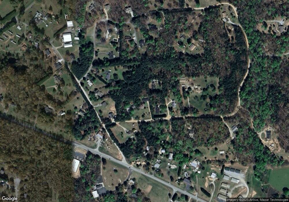
Map
Nearby Homes
- 164 Leatherford Rd
- 675 Washboard Rd
- 0 Highway 115 E Unit 10608501
- 919 Leatherford Rd
- 0 Freeman Rd Unit LOT 4
- 0 Freeman Rd Unit LOT 3 10539998
- 0 Freeman Rd Unit LOT 2 10539989
- 00 Freeman Rd
- 179 Pine Brook Dr
- 77 N Shore Dr
- 0 Holiness Campground Rd Unit 10609890
- 319 Dock Dorsey Rd
- 0 Black Rd Unit 10620540
- 0 Black Rd Unit 7662078
- 61 Berry Patch Ln
- 79 Hampton Hills Ln
- 915 Holiness Campground Rd
- 1021 Black Rd
- LOT 16 Morris Trail
- 0 Highland Forest Rd Unit TRACT "2" 10559371
- 892 Gunns Cir
- 71 Buffet Dr
- 19 Buffet Dr
- 20 Buffet Dr
- 936 Gunns Cir
- 255 Leaford Rd
- 241 Leaford Rd
- 38 Gunns Cir
- 0 Buffet Dr Unit 8400184
- 0 Buffet Dr
- 0 Leaford Rd Unit 8894365
- 221 Leaford Rd
- 770 Gunns Cir
- 74 Gunns Cir
- 787 Gunns Cir
- 140 Leaford Rd
- 4095 Highway 115 E
- 208 Gunns Cir
- 206 Gunns Cir
- 4229 Highway 115 E