854 Ray Fisher Rd Lufkin, TX 75901
Estimated Value: $149,770 - $398,000
--
Bed
11
Baths
2,674
Sq Ft
$113/Sq Ft
Est. Value
About This Home
This home is located at 854 Ray Fisher Rd, Lufkin, TX 75901 and is currently estimated at $302,693, approximately $113 per square foot. 854 Ray Fisher Rd is a home located in Angelina County with nearby schools including Garrett Primary School, Dunbar Primary School, and Brandon Elementary School.
Ownership History
Date
Name
Owned For
Owner Type
Purchase Details
Closed on
Jan 13, 2025
Sold by
Butler Crystal
Bought by
Butler Crystal and Oneal Alyssa
Current Estimated Value
Purchase Details
Closed on
Mar 19, 2010
Sold by
Dunton Berneta S
Bought by
Butler Crystal
Home Financials for this Owner
Home Financials are based on the most recent Mortgage that was taken out on this home.
Original Mortgage
$165,000
Interest Rate
4.95%
Mortgage Type
Purchase Money Mortgage
Create a Home Valuation Report for This Property
The Home Valuation Report is an in-depth analysis detailing your home's value as well as a comparison with similar homes in the area
Home Values in the Area
Average Home Value in this Area
Purchase History
| Date | Buyer | Sale Price | Title Company |
|---|---|---|---|
| Butler Crystal | -- | None Listed On Document | |
| Butler Crystal | $165,000 | None Available |
Source: Public Records
Mortgage History
| Date | Status | Borrower | Loan Amount |
|---|---|---|---|
| Previous Owner | Butler Crystal | $165,000 |
Source: Public Records
Tax History Compared to Growth
Tax History
| Year | Tax Paid | Tax Assessment Tax Assessment Total Assessment is a certain percentage of the fair market value that is determined by local assessors to be the total taxable value of land and additions on the property. | Land | Improvement |
|---|---|---|---|---|
| 2025 | $1,224 | $77,360 | $47,000 | $30,360 |
| 2024 | $1,236 | $78,160 | $47,000 | $31,160 |
| 2023 | $1,192 | $79,010 | $47,000 | $32,010 |
| 2022 | $4,252 | $266,630 | $40,000 | $226,630 |
| 2021 | $4,260 | $229,320 | $40,000 | $189,320 |
| 2020 | $3,861 | $200,450 | $30,800 | $169,650 |
| 2019 | $4,196 | $202,910 | $30,800 | $172,110 |
| 2018 | $3,684 | $198,810 | $30,800 | $168,010 |
| 2017 | $248 | $191,120 | $30,800 | $160,320 |
| 2016 | $3,489 | $188,200 | $30,800 | $157,400 |
| 2015 | $248 | $188,300 | $30,800 | $157,500 |
| 2014 | $1,855 | $188,910 | $30,800 | $158,110 |
Source: Public Records
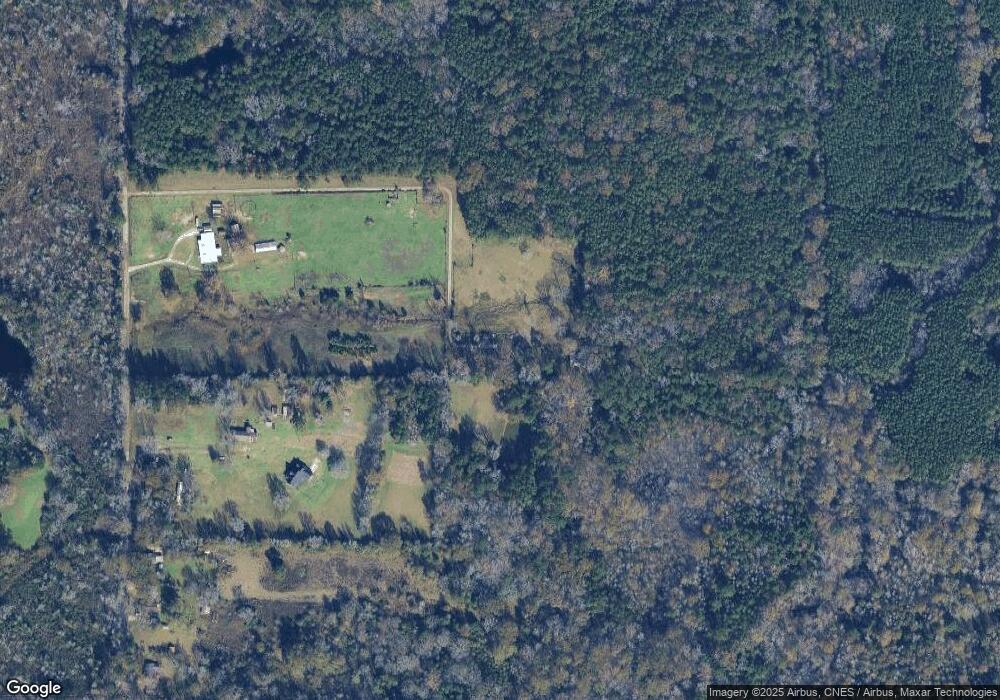
Map
Nearby Homes
- 1920 Farm To Market 842
- 859 Fm 2021
- 311 N Forty Cir
- 732 Fm 842
- n/a Farm To Market Road 2021
- n/a Loop 287 Frontage Rd
- 3600 N Medford Dr
- R17051 Hwy 59 N
- 2504 Davisville Rd
- 2515 Atkinson Dr Unit 26012611
- 2404 Davisville Rd
- 217 Derek Rd
- LOT 6-11,12.1,A McHale St
- 201 Silver Spur Dr
- 851 John Kolb Rd
- 1603 Atkinson Dr
- 504 John Kolb Rd
- 4344 N Highway 69
- R22597 N Highway 69
- TBD N Highway 69
- 181 Yount Rd
- 630 Ray Fisher Rd
- 982 Ray Fisher Rd
- 1322 Ray Fisher Rd
- 554 Ray Fisher Rd
- 306 Warren Hughes Rd
- 287 Warren Hughes Rd
- 1311 Ray Fisher Rd
- 1017 Ray Fisher Rd
- 189 Yount Rd
- 1057 Ray Fisher Rd
- 1444 Ray Fisher Rd
- 284 Hartnett Rd
- 1207 Ray Fisher Rd
- 120 Harnett Rd
- 328 Harnett Rd
- 1259 Ray Fisher Rd
- 1572 Ray Fisher Rd
- 1645 Ray Fisher Rd