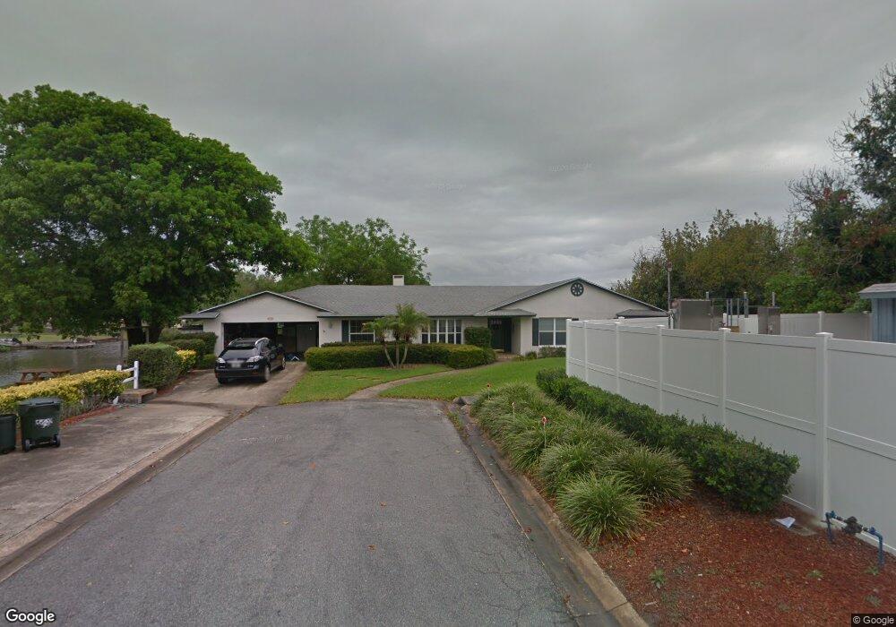
854 Seacrest Dr Largo, FL 33771
North Largo NeighborhoodEstimated Value: $534,000 - $928,000
Studio
--
Bath
2,710
Sq Ft
$278/Sq Ft
Est. Value
About This Home
This home is located at 854 Seacrest Dr, Largo, FL 33771 and is currently estimated at $753,309, approximately $277 per square foot. 854 Seacrest Dr is a home located in Pinellas County with nearby schools including Belcher Elementary School, Largo High School, and Largo Middle School.
Ownership History
Date
Name
Owned For
Owner Type
Purchase Details
Closed on
May 18, 2022
Sold by
Edson Borst and Edson David
Bought by
Borst David Edson and Borst Stacey
Current Estimated Value
Purchase Details
Closed on
May 16, 2022
Sold by
Elizabeth Ranson Andrea
Bought by
Borst David Edson and Borst Stacey
Purchase Details
Closed on
Apr 4, 2022
Sold by
Given Not
Bought by
Borst David Edson and Ranson Andrea Elizabeth
Purchase Details
Closed on
May 5, 2000
Sold by
Borst Thomas W and Borst Alwyn
Bought by
Borst Thomas E
Create a Home Valuation Report for This Property
The Home Valuation Report is an in-depth analysis detailing your home's value as well as a comparison with similar homes in the area
Home Values in the Area
Average Home Value in this Area
Purchase History
| Date | Buyer | Sale Price | Title Company |
|---|---|---|---|
| Borst David Edson | -- | Cooper A T | |
| Borst David Edson | $345,000 | Cooper A T | |
| Borst David Edson | -- | None Listed On Document | |
| Borst Thomas E | -- | -- |
Source: Public Records
Tax History
| Year | Tax Paid | Tax Assessment Tax Assessment Total Assessment is a certain percentage of the fair market value that is determined by local assessors to be the total taxable value of land and additions on the property. | Land | Improvement |
|---|---|---|---|---|
| 2025 | $9,372 | $562,347 | -- | -- |
| 2024 | $9,237 | $546,499 | -- | -- |
| 2023 | $9,237 | $530,582 | $0 | $0 |
| 2022 | $3,615 | $232,132 | $0 | $0 |
| 2021 | $3,656 | $225,371 | $0 | $0 |
| 2020 | $3,649 | $222,259 | $0 | $0 |
| 2019 | $3,580 | $217,262 | $0 | $0 |
| 2018 | $3,547 | $213,211 | $0 | $0 |
| 2017 | $3,511 | $208,826 | $0 | $0 |
| 2016 | $3,418 | $204,531 | $0 | $0 |
| 2015 | $3,469 | $203,109 | $0 | $0 |
| 2014 | $3,423 | $201,497 | $0 | $0 |
Source: Public Records
Map
Nearby Homes
- 853 Seacrest Dr
- 566 E Park Dr
- 1992 Arvis Cir E
- 3075 Rosery Rd NE
- 947 Sousa Dr
- 1908 Sandpiper Dr
- 2156 Egret Dr
- 1895 Del Robles Terrace
- 1975 Temple Terrace
- 1954 Arvis Cir W
- 1877 Del Robles Dr
- 2161 Wateroak Dr N
- 1950 Arvis Cir W
- 925 Irene Ave
- 2186 Waterside Dr
- 1862 Del Robles Dr
- 1012 Irene Ave
- 1849 Del Robles Dr
- 1110 Irene Ave
- 546 Forest Pkwy E
- 967 Damrosch St
- 850 Seacrest Dr
- 1037 Damrosch Cir
- 981 Damrosch St
- 835 Seacrest Dr
- 993 Damrosch St
- 1029 Damrosch Cir
- 824 Seacrest Dr
- 955 Damrosch St
- 1007 Damrosch St
- 1041 Damrosch Cir
- 825 Seacrest Dr
- 1015 Damrosch St
- 800 Seacrest Dr
- 950 Damrosch St
- 986 Damrosch St
- 949 Damrosch St
- 998 Damrosch St
- 1915 Seagull Dr
- 1917 Seagull Dr
Your Personal Tour Guide
Ask me questions while you tour the home.