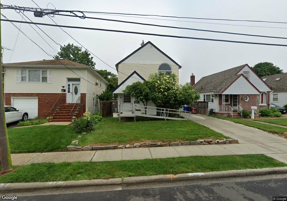
854 Taft St West Hempstead, NY 11552
Estimated Value: $666,138 - $680,000
--
Bed
3
Baths
1,596
Sq Ft
$422/Sq Ft
Est. Value
About This Home
This home is located at 854 Taft St, West Hempstead, NY 11552 and is currently estimated at $673,069, approximately $421 per square foot. 854 Taft St is a home located in Nassau County with nearby schools including Chestnut Street School, West Hempstead Middle School, and West Hempstead Secondary School.
Ownership History
Date
Name
Owned For
Owner Type
Purchase Details
Closed on
Mar 28, 2017
Sold by
Roussos John I and Roussos Herta M
Bought by
Roussos John I and Roussos Herta M
Current Estimated Value
Purchase Details
Closed on
Mar 18, 2017
Sold by
Roussos John I and Roussos Herta M
Bought by
Roussos Trust
Purchase Details
Closed on
Dec 12, 2014
Sold by
Roussos Herta M and Roussos John I
Bought by
Holmes Anna and Roussos Herta M
Create a Home Valuation Report for This Property
The Home Valuation Report is an in-depth analysis detailing your home's value as well as a comparison with similar homes in the area
Home Values in the Area
Average Home Value in this Area
Purchase History
| Date | Buyer | Sale Price | Title Company |
|---|---|---|---|
| Roussos John I | -- | -- | |
| Roussos Trust | -- | -- | |
| Holmes Anna | -- | None Available |
Source: Public Records
Tax History Compared to Growth
Tax History
| Year | Tax Paid | Tax Assessment Tax Assessment Total Assessment is a certain percentage of the fair market value that is determined by local assessors to be the total taxable value of land and additions on the property. | Land | Improvement |
|---|---|---|---|---|
| 2025 | $9,522 | $378 | $152 | $226 |
| 2024 | $2,901 | $378 | $152 | $226 |
| 2023 | $7,200 | $378 | $152 | $226 |
| 2022 | $7,200 | $378 | $152 | $226 |
| 2021 | $8,316 | $378 | $152 | $226 |
| 2020 | $3,848 | $357 | $306 | $51 |
| 2019 | $5,154 | $382 | $306 | $76 |
| 2018 | $5,180 | $408 | $0 | $0 |
| 2017 | $3,290 | $433 | $308 | $125 |
| 2016 | $5,375 | $459 | $294 | $165 |
| 2015 | $2,052 | $484 | $277 | $207 |
| 2014 | $2,052 | $484 | $277 | $207 |
| 2013 | $2,018 | $510 | $292 | $218 |
Source: Public Records
Map
Nearby Homes
- 841 Harrison St
- 853 Arthur St
- 729 Janos Ln
- 747 Janos Ln
- 450 Rhodes Ln
- 757 Harrison St
- 841 Woodfield Rd
- 0 Rhodes Ln
- 899 Cleveland St
- 55 Melvin Ave
- 647 Jennings Ave
- 516 Washington Ave
- 350 Coventry Rd N
- 513 Washington Ave
- 639 Robin Ct
- 402 Maple St
- 596 Lincoln Ave
- 966 Woodfield Rd
- 1010 Hempstead Ave
- 629 Park Ave