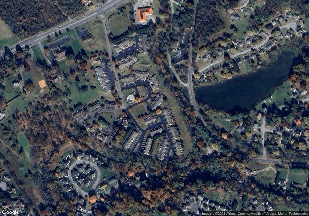
8540 Pine Hurst Cir Roanoke, VA 24019
Estimated Value: $327,867 - $363,000
2
Beds
2
Baths
1,802
Sq Ft
$191/Sq Ft
Est. Value
About This Home
This home is located at 8540 Pine Hurst Cir, Roanoke, VA 24019 and is currently estimated at $343,467, approximately $190 per square foot. 8540 Pine Hurst Cir is a home located in Roanoke County with nearby schools including Mountain View Elementary School, Northside Middle School, and Northside High School.
Ownership History
Date
Name
Owned For
Owner Type
Purchase Details
Closed on
Mar 20, 2007
Sold by
Clark Richard E
Bought by
Bandy George Robert and Bandy Jeannette Cook
Current Estimated Value
Home Financials for this Owner
Home Financials are based on the most recent Mortgage that was taken out on this home.
Original Mortgage
$30,000
Outstanding Balance
$18,228
Interest Rate
6.33%
Mortgage Type
Credit Line Revolving
Estimated Equity
$325,239
Create a Home Valuation Report for This Property
The Home Valuation Report is an in-depth analysis detailing your home's value as well as a comparison with similar homes in the area
Home Values in the Area
Average Home Value in this Area
Purchase History
| Date | Buyer | Sale Price | Title Company |
|---|---|---|---|
| Bandy George Robert | $215,000 | None Available |
Source: Public Records
Mortgage History
| Date | Status | Borrower | Loan Amount |
|---|---|---|---|
| Open | Bandy George Robert | $30,000 |
Source: Public Records
Tax History Compared to Growth
Tax History
| Year | Tax Paid | Tax Assessment Tax Assessment Total Assessment is a certain percentage of the fair market value that is determined by local assessors to be the total taxable value of land and additions on the property. | Land | Improvement |
|---|---|---|---|---|
| 2025 | $3,310 | $321,400 | $48,400 | $273,000 |
| 2024 | $3,036 | $291,900 | $48,400 | $243,500 |
| 2023 | $2,743 | $258,800 | $44,000 | $214,800 |
| 2022 | $2,553 | $234,200 | $40,700 | $193,500 |
| 2021 | $2,332 | $213,900 | $33,000 | $180,900 |
| 2020 | $2,289 | $210,000 | $33,000 | $177,000 |
| 2019 | $2,267 | $208,000 | $33,000 | $175,000 |
| 2018 | $2,227 | $206,000 | $33,000 | $173,000 |
| 2017 | $2,227 | $204,300 | $33,000 | $171,300 |
| 2016 | $2,201 | $201,900 | $30,800 | $171,100 |
| 2015 | $2,157 | $197,900 | $28,600 | $169,300 |
| 2014 | $2,135 | $195,900 | $28,600 | $167,300 |
Source: Public Records
Map
Nearby Homes
- 8525 Muirfield Cir
- 8531 Muirfield Cir
- 8146 Williamson Rd
- 8199 Ashton Ln
- 1429 Crutchfield St
- 7002 Brookview Rd
- 735 Goodland Ave
- 830 Dexter Rd
- 7303 Norman St
- 713 Hugh Ave
- 7116 Peyton St
- 635 Ridgecrest Dr
- 1290 Trafalgar Dr
- 849 Walhalla Ct
- 819 Walhalla Ct
- 310 Stoneledge Dr
- 573 Crestland Dr
- 831 Sumpter Place
- 1010 Big Ben Dr
- 8602 Sanderson Dr
- 8538 Pine Hurst Cir
- 8536 Pine Hurst Cir
- 8607 Little Hoop Rd
- 8611 Little Hoop Rd
- 8534 Pine Hurst Cir
- 8615 Little Hoop Rd
- 8604 S Bend Dr
- 8608 S Bend Dr
- 8532 Pine Hurst Cir
- 8612 S Bend Dr
- 8606 Little Hoop Rd
- 8610 Little Hoop Rd
- 8530 Pine Hurst Cir
- 8528 Pine Hurst Cir
- 8616 S Bend Dr
- 8701 Little Hoop Rd
- 8577 Muirfield Cir
- 8702 Little Hoop Rd
- 8575 Muirfield Cir
- 8526 Pine Hurst Cir
